
Our take
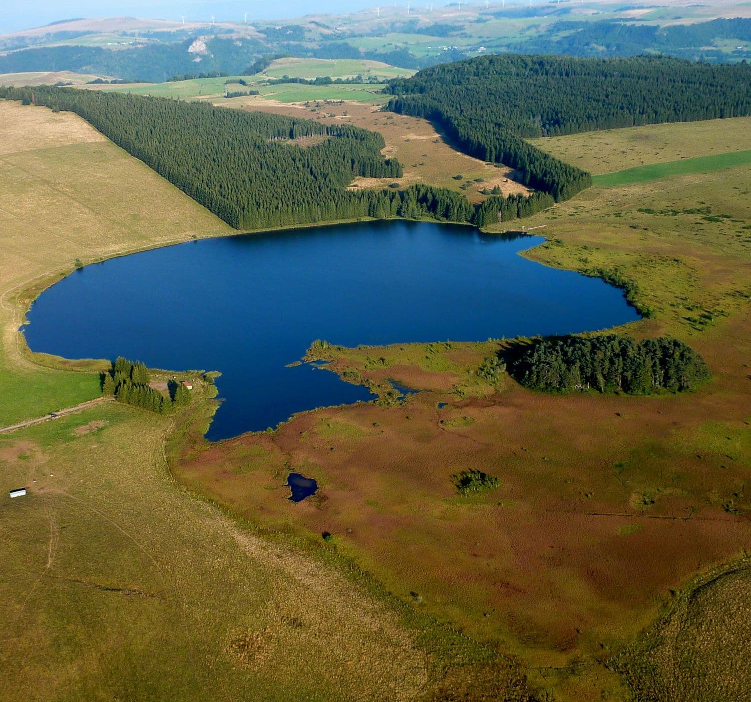
A glacial lake at 1,168 m, largely taken over by a protected peat bog. No swimming, no beach: just nature and silence.
A glacial lake at 1,168 m, ringed by protected peat bogs. No beach, no crowds: an hour's walk there and back and the silence of the plateau.
A lake of glacial origin at an altitude of 1,168 m, on the edge of the Cézallier, in the commune of Besse-et-Saint-Anastaise. A small, shallow body of water, 4 m deep at most. A listed natural site, part of the Natura 2000 network, on private property: part of the lake is now covered by a peat bog. Fishing is allowed with a permit (pike, small fish), swimming is forbidden. There is no path round the lake (protected peat bogs): allow an easy walk of about 1 hour there and back from the free car park on the D36. Open access, little visited.
Why we love it
- The silence of the plateau, barely disturbed by the birds of the peat bog
- The dark water of the lake reflecting the clouds
- The peat bog taking over the lake, and wildlife to look out for: great crested grebe, common frog, dragonflies
- The easy walk to the lake, an hour there and back from the D36
Top tip
Sunrise is something special, with mist over the peat bogs. Fishing with a permit (pike, small fish). Combine with the Godivelle lakes (20 min by road, via Compains) for a proper day out in nature.
Before you go
- Bring walking shoes, the path has roots, and stay on it to protect the site
- Come early in the morning to see the birds before the wind gets up on the plateau
- The car park is free and close by, no need to look elsewhere
Weather for the next 3 days
Today
10°/1°
7 mm · 49 km/h
Tomorrow
12°/1°
dry · 18 km/h
Tue 27
17°/10°
dry · 23 km/h
Source: Open-Meteo (CC BY 4.0). General lowland forecasts, to be cross-checked with specialist mountain forecasts at altitude.
Practical info
- Address
- Lac de Bourdouze, 63610 Besse-et-Saint-Anastaise, France
63610 Besse-et-Saint-Anastaise
What visitors say
Google rating
Average of 139 reviews on Google Maps.
Community rating
No reader reviews yet: yours gets things started.
Your logbook
Around Lac de Bourdouze
14 spots in and around Besse-et-Saint-Anastaise, enough to build your day.
Where to eat close by
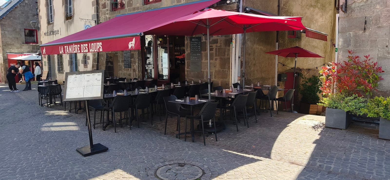 €€
La Tanière des Loups
4.8Besse-et-Saint-Anastaise · 4.7 km away
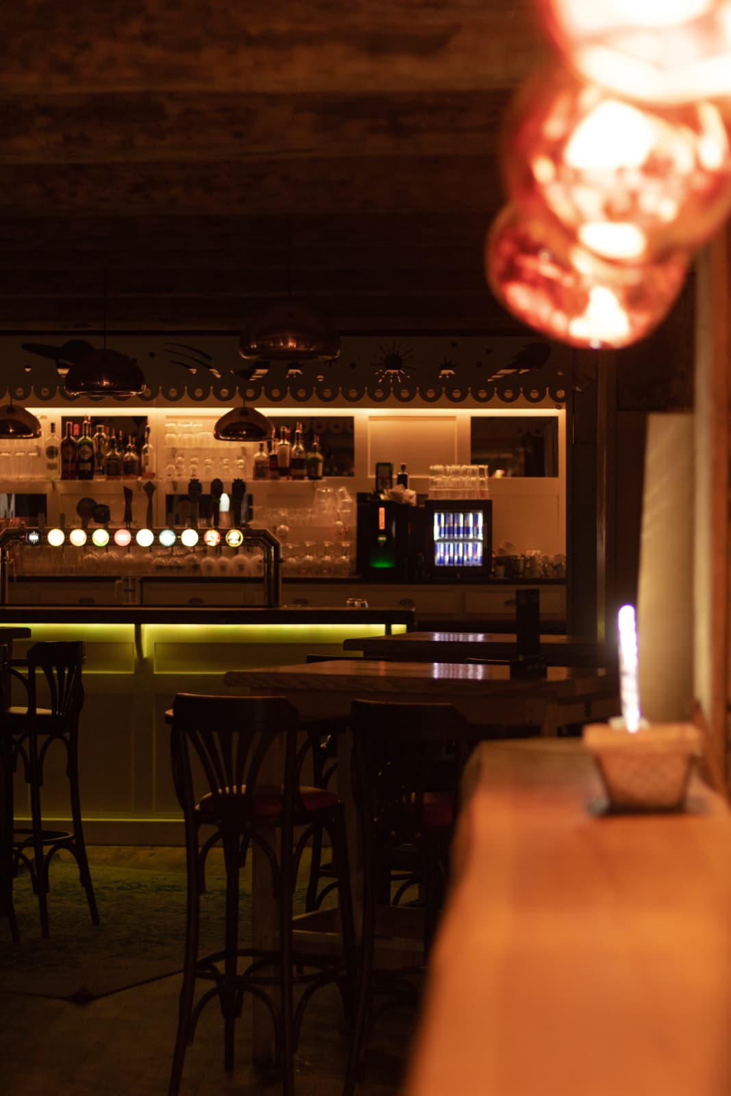 €€
Mémé Joe
4.8Besse-et-Saint-Anastaise · 7.2 km away
Where to stay nearby

Camping Bois de Gravière
4.2Besse-et-Saint-Anastaise · 5.4 km away
 €
Résidence Le Bois de la Reine
4.0Besse-et-Saint-Anastaise · 6.2 km away
Hikes nearby
Waymarked routes within 15 km, GPX track included.
 On foot
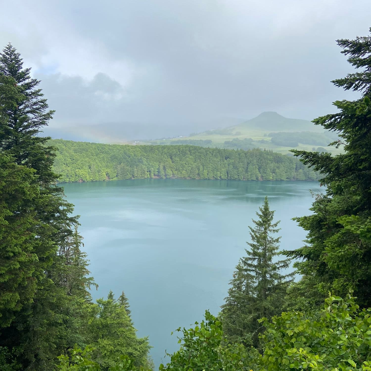 On foot
Hikes around Lac de Bourdouze
On footOn foot On foot
From Egliseneuve to Brion (stage 1 of the Tour des Vaches Rouges)
Start: Parking de la maison des fromages AOP
- 15.8 km
- +608 m
- 5 h 15 min
You might also like
More lakes in Puy-de-Dôme and nearby.

Lac de la Cassière
4.3Aydat · Puy-de-Dôme
165 reviews

Lac Chauvet
4.0Picherande · Puy-de-Dôme
277 reviews

Lac de Servières
4.7Orcival · Puy-de-Dôme
652 reviews

Sagnes de La Godivelle nature reserve
4.7La Godivelle · Puy-de-Dôme
88 reviews

Lac d'Aydat
4.5Aydat · Puy-de-Dôme
92 reviews

Lac de Lastioulles
4.4Trémouille · Cantal
61 reviews