
Our take
Few visitors to the Sancy know it: no developed site, just a path near the hamlet of Courbanges and the sound of the Cheix stream leaping off the cliff. The kind of place you keep for the curious.
A little-known waterfall near Courbanges, in the Sancy. Steep path, cool atmosphere, strongest flow after rain.
The Cheix stream leaps down a high rock face here, near the hamlet of Courbanges, on the eastern slope of the Massif du Sancy. The waterfall takes the name of the stream that feeds it, and the spot has stayed wild, with no particular facilities.
You reach it from Courbanges, a hamlet of Saint-Victor-la-Rivière next to Chambon-sur-Lac. A narrow path goes down towards the waterfall a stone's throw from the D36, but the ground is steep and the descent is not laid out: it is best left to confident walkers.
The atmosphere is cool and shaded, welcome on hot days. Come in spring or after heavy rain, when the flow swells: the stream is not permanent and can dry up in dry weather. And stay careful down below: the cliff is high and the ground quickly turns slippery.
Why we love it
- The Cheix stream leaping down a high rock face
- A site left wild, with no facilities
- The coolness and shade on hot days
- The eastern slope of the Sancy, near the hamlet of Courbanges
Top tip
The path down to the waterfall is steep and quickly turns slippery. Bring proper walking shoes and stay at the top if the ground is soaked: the cliff is high and the edge is unforgiving.
Before you go
- In spring, when the snowmelt swells the Cheix stream.
- You reach it from the hamlet of Courbanges, a stone's throw from the D36, by a path that is not laid out.
- Bring proper walking shoes: the descent is steep and quickly turns slippery.
- If the ground is soaked, stay at the top: the cliff is high and the edge is unforgiving.
Weather for the next 3 days
Today
10°/2°
8 mm · 52 km/h
Tomorrow
14°/2°
dry · 17 km/h
Tue 27
18°/11°
0 mm · 22 km/h
Source: Open-Meteo (CC BY 4.0). General lowland forecasts, to be cross-checked with specialist mountain forecasts at altitude.
Practical info
- Address
- 63790 Saint-Victor-la-Rivière, France
63790 Saint-Victor-la-Rivière
What visitors say
Google rating
Average of 42 reviews on Google Maps.
Community rating
No reader reviews yet: yours gets things started.
Your logbook
Around Cascade du Cheix
3 spots in and around Saint-Victor-la-Rivière, enough to build your day.
Where to eat close by
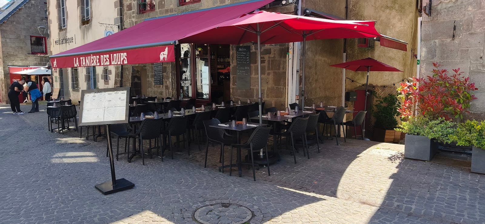 €€
La Tanière des Loups
4.8Besse-et-Saint-Anastaise · 4.8 km away
 €€
Mémé Joe
4.8Besse-et-Saint-Anastaise · 5.1 km away
 €€
La Table de l'Ours
4.4Le Mont-Dore · 6.2 km away
Where to stay nearby

Domaine Volcaflore
4.5Saint-Victor-la-Rivière · a 5-minute walk away

Les Chalets du Sancy
4.5Chambon-sur-Lac · 2.2 km away
 €€
L'Auberge du Bougnat
4.4Saint-Victor-la-Rivière · 3.3 km away
Hikes nearby
Waymarked routes within 15 km, GPX track included.
 On foot
 Trail running
Hikes around Cascade du Cheix
On footTrail running On foot
You might also like
More waterfalls in Puy-de-Dôme and nearby.

Cascade de la Besque
3.4Prades · Haute-Loire
5 reviews

Cascade du Gour Saillant
4.4Saint-Priest-des-Champs · Puy-de-Dôme
333 reviews

Cascade du Biaguin
4.7Le Falgoux · Cantal
56 reviews

Cascade de Montfermy
4.6Montfermy · Puy-de-Dôme
231 reviews

Cascade du Gour des Chevaux
4.6La Tour-d'Auvergne · Puy-de-Dôme
83 reviews
Les Chalets du Sancy
4.5Chambon-sur-Lac · Puy-de-Dôme
70 reviews