
Our take
A waterfall on the Burande at the edge of the village, with a legend of a drowned horse dealer that gave it its name. The Cascade Sainte-Élisabeth is 400 metres away: you can see both on the same walk.
On the way out of La Tour-d'Auvergne, the Burande goes over a large rock in the middle of the meadows. The waterfall is seen from above: the foot is reserved for campsite guests.
You leave La Tour-d'Auvergne on the D203, towards Besse, and take the track on the left after the Chauderie campsite. The Burande spreads out there in the middle of the meadows, then goes over a large rock and forms two pools that trace a big S.
The foot of the waterfall is private: only the campsite's guests go down there and swim. For you, the waterfall is something to look at from above.
The name comes from oral tradition. One fair-day evening in the fog, a horse dealer from Besse missed the ford, and his six horses were swept away with him. Gour, here, means a chasm. The Cascade Sainte-Élisabeth is about 400 metres away.
Why we love it
- The large rock the Burande goes over, and its two S-shaped pools
- The legend of the horse dealer that gave the gour its name
Top tip
Don't go down to the foot of the fall: access there is private, reserved for campsite guests. Carry on instead to the Cascade Sainte-Élisabeth, about 400 metres away, where a picnic area awaits you.
Before you go
- Take the D203 towards Besse, then the track on the left after the Chauderie campsite
- The waterfall is seen from above: the foot is private, reserved for campsite guests
Weather for the next 3 days
Today
11°/3°
4 mm · 31 km/h
Tomorrow
13°/2°
dry · 11 km/h
Tue 27
17°/11°
1 mm · 20 km/h
Source: Open-Meteo (CC BY 4.0). General lowland forecasts, to be cross-checked with specialist mountain forecasts at altitude.
Practical info
- Address
- Cascade du Gour des Chevaux, 63680 La Tour-d'Auvergne, France
63680 La Tour-d'Auvergne
What visitors say
Google rating
Average of 83 reviews on Google Maps.
Community rating
No reader reviews yet: yours gets things started.
Your logbook
Around Cascade du Gour des Chevaux
6 spots in and around La Tour-d'Auvergne, enough to build your day.
Where to eat close by
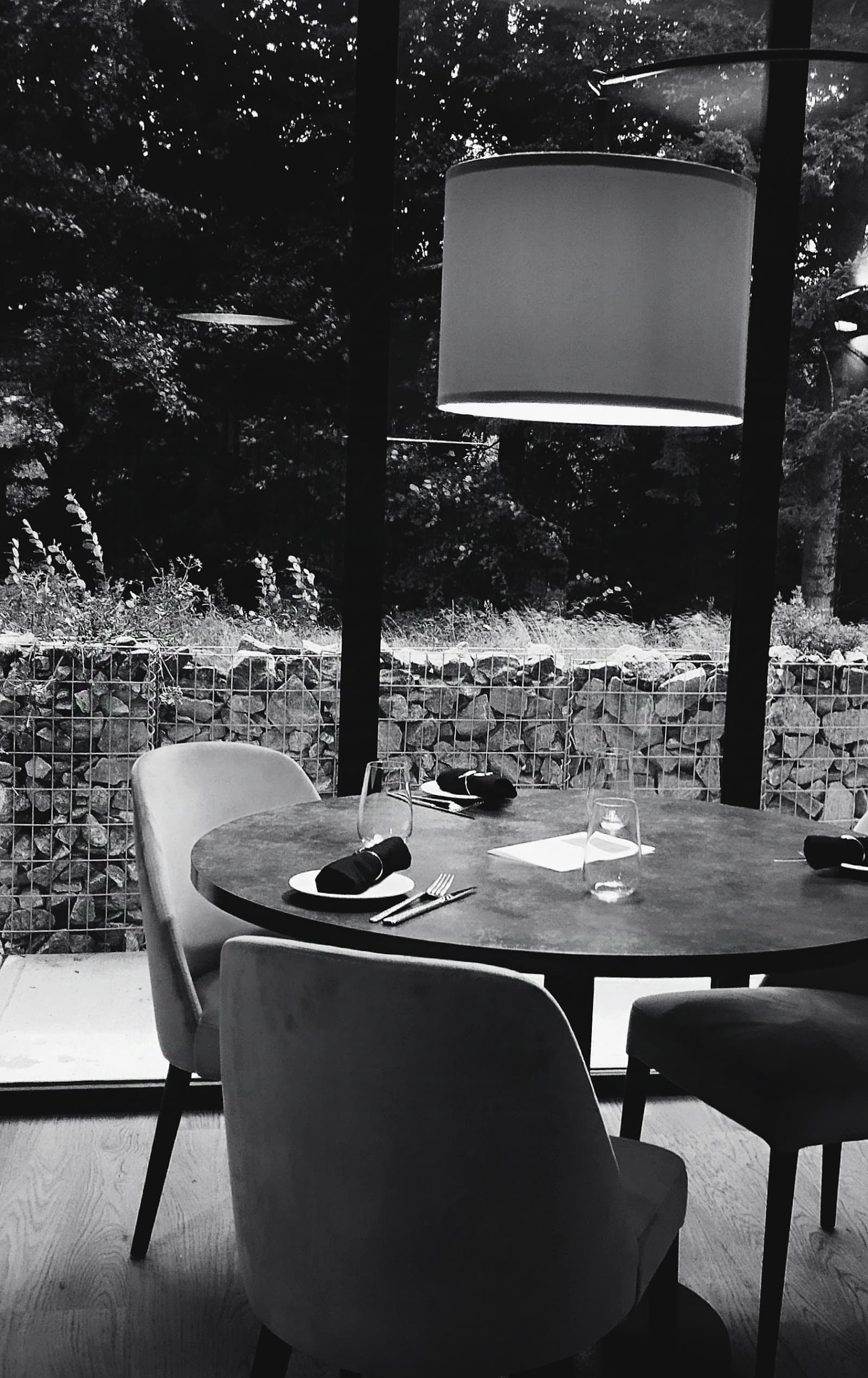
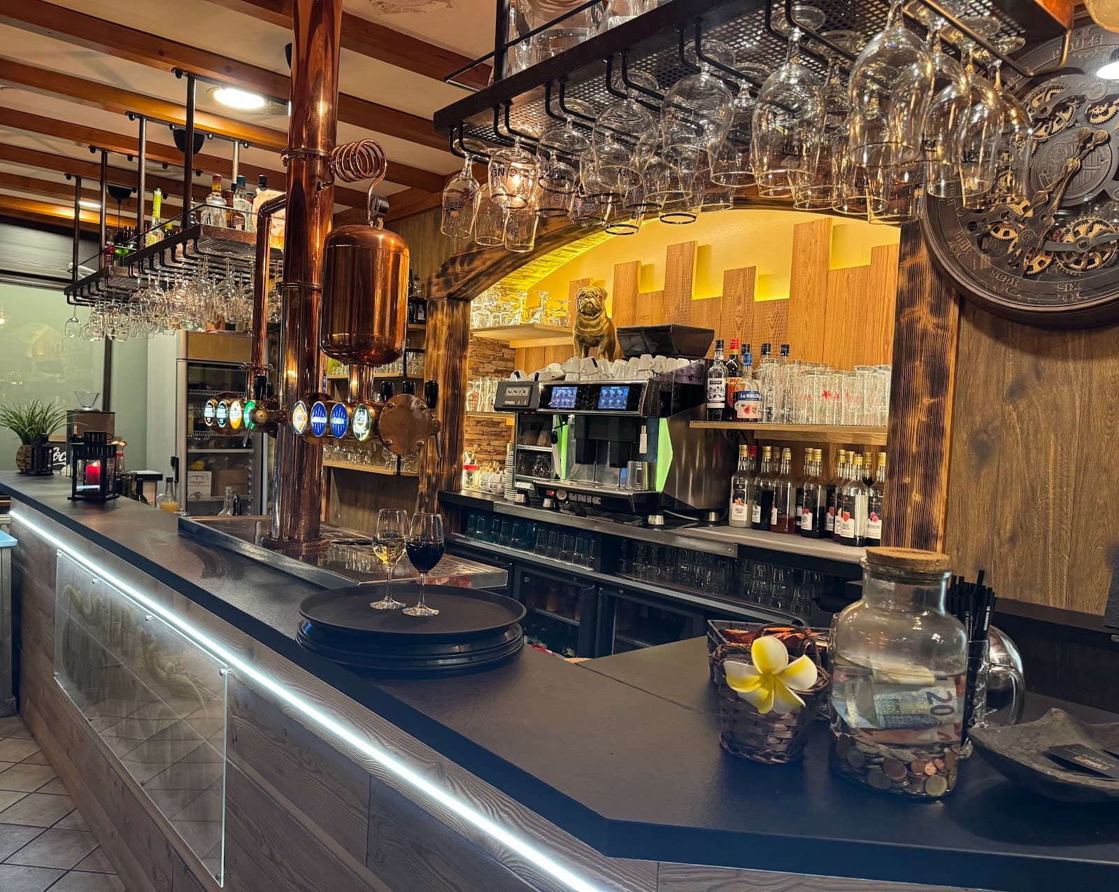
Where to stay nearby

Chambre et table d'hôtes La Burande
4.9La Tour-d'Auvergne · 1.9 km away
 €€€
Cabanes des Volcans
4.4La Tour-d'Auvergne · 4.4 km away
Hikes nearby
Waymarked routes within 15 km, GPX track included.
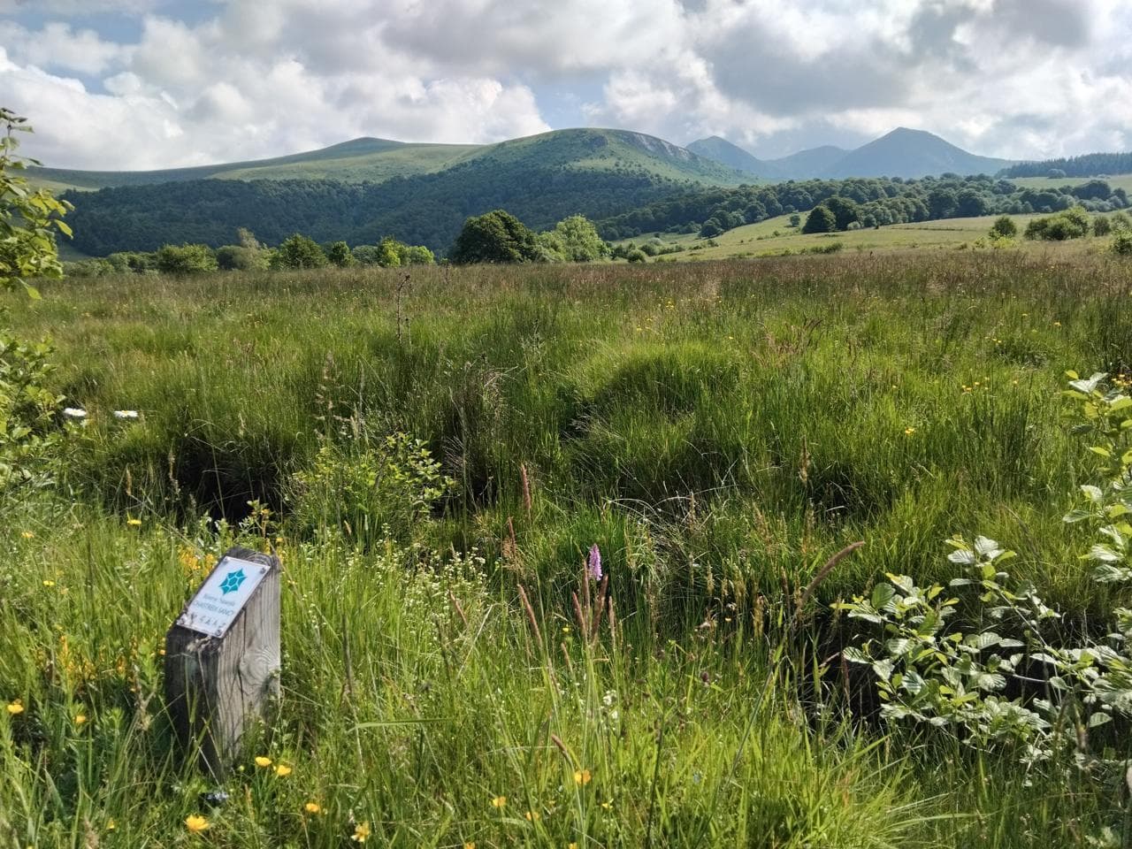 On foot
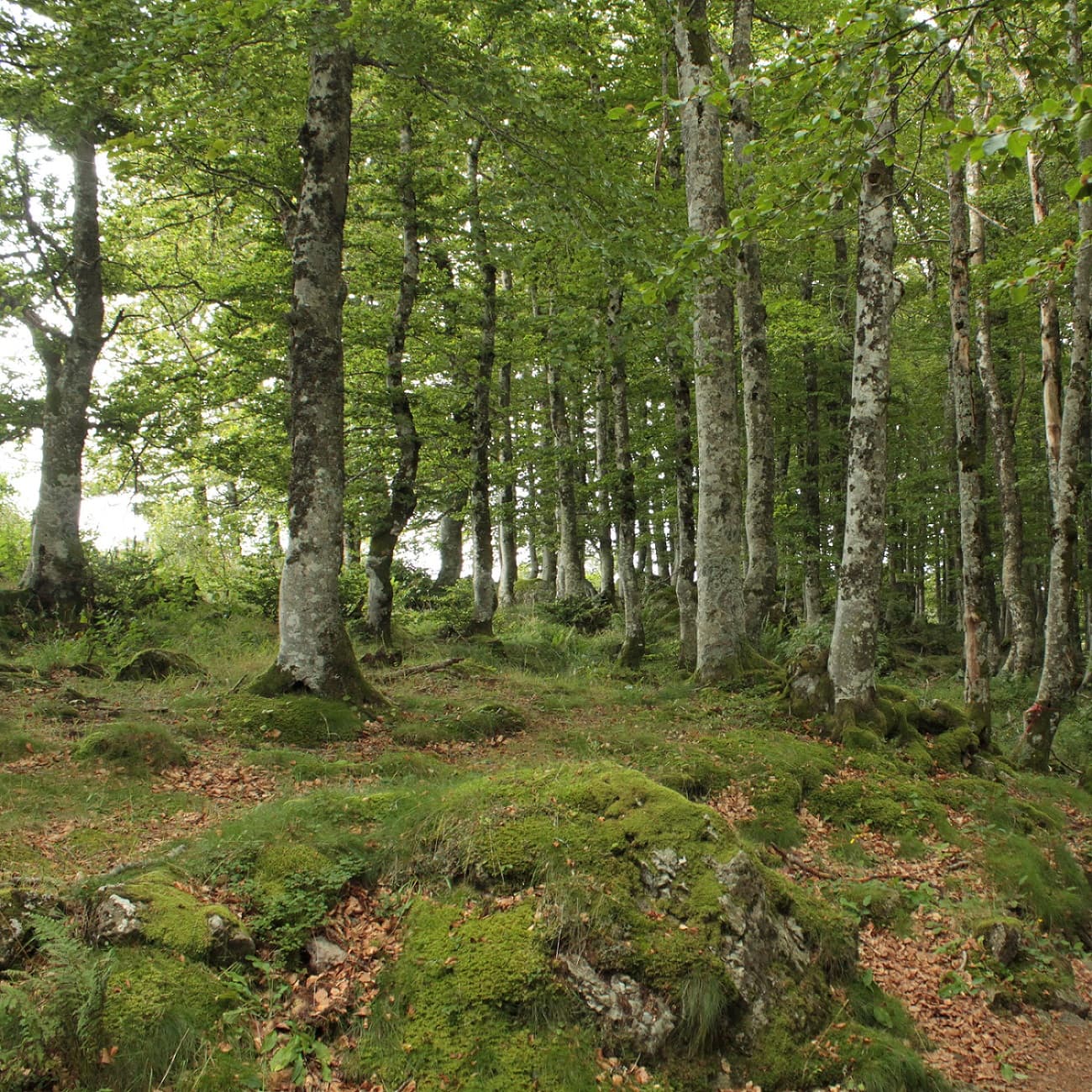 On foot
From Chastreix village to the glacial valley
Start: Parking à côté de l'église, au centre du bourg
- 18.3 km
- +535 m
- 5 h 30 min
Worth a read
Articles and guides that mention this place.

Hikes around Cascade du Gour des Chevaux
On footOn footFrom Chastreix village to the glacial valley
Start: Parking à côté de l'église, au centre du bourg
- 18.3 km
- +535 m
- 5 h 30 min
 On foot
You might also like
More waterfalls in Puy-de-Dôme and nearby.

Cascades de Vaucoux ou d'Anglard
4.7Besse-et-Saint-Anastaise · Puy-de-Dôme
158 reviews

Cascade du Rossignolet
4.7Le Mont-Dore · Puy-de-Dôme
342 reviews

Cascade de la Biche
4.8Chambon-sur-Lac · Puy-de-Dôme
28 reviews

La Grande Cascade
4.7Le Mont-Dore · Puy-de-Dôme
606 reviews

Cascade Sainte-Élisabeth
4.3La Tour-d'Auvergne · Puy-de-Dôme
77 reviews

Cascade de Faillitoux
4.7Thiézac · Cantal
168 reviews