
Our take
A waterfall without the effort: the purpose-built viewpoint, close to the D63 between Apchon and Collandres, puts you right above the basalt cirque where the Véronne plunges. The ideal stop to punctuate a trip through the Pays Gentiane.
The Véronne plunges into a small basalt cirque near the D63, between Apchon and Collandres. A purpose-built viewpoint puts you in the front row.
The Véronne leaps here into a small basalt cirque, in the uplands of the Cantal, on the Collandres side. The dark rock frames the fall like an amphitheatre, and the contrast between the white water and the volcanic walls is what gives the place its character.
Getting there is simple: the waterfall is signposted on the D63, the small road linking Apchon to Collandres, right next to the bridge over the Véronne. A purpose-built viewpoint puts you above the cirque, with the fall down below.
This is the kind of stop we like to slip into an itinerary: no long walk, a viewpoint that does the job, and the Pays Gentiane all around. Go after heavy rain, when the Véronne fills out.
Why we love it
- White water standing out against the dark basalt
- A small cirque of rock that frames the fall like an amphitheatre
- The view down from the viewpoint, with the fall below
Top tip
Carry on along the D63 to Apchon: the castle ruins, perched on their basalt peak, overlook the village and the Monts du Cantal. Waterfall then castle: the pair fills half a day nicely.
Before you go
- After heavy rain or when the snow melts, when the Véronne has a good flow.
- Look for the bridge over the Véronne: that is where, beside the D63, the waterfall is signposted.
Weather for the next 3 days
Today
11°/3°
9 mm · 37 km/h
Tomorrow
14°/3°
dry · 13 km/h
Tue 27
18°/10°
dry · 18 km/h
Source: Open-Meteo (CC BY 4.0). General lowland forecasts, to be cross-checked with specialist mountain forecasts at altitude.
Practical info
- Address
- Cascade du Pont d'Aptier, 15400 Collandres, France
15400 Collandres
What visitors say
Google rating
Average of 27 reviews on Google Maps.
Community rating
No reader reviews yet: yours gets things started.
Your logbook
Around Cascade du Pont d'Aptier
Enough to build your day around this address.
A place to see, a night to spend?
Hotels, gîtes and B&Bs within 20 km of Collandres. Availability and online booking.
Worth seeing nearby
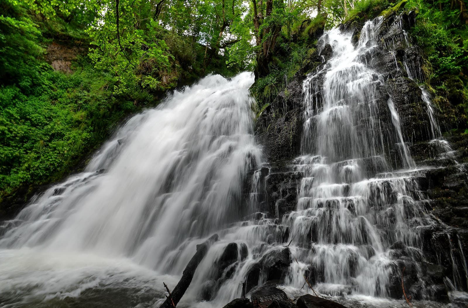
Cascade de la Roche
4.7Cheylade · 5.2 km away
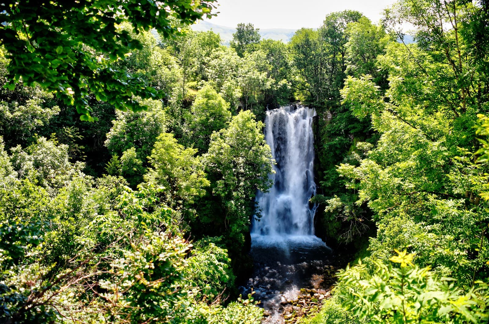
Cascade du Sartre
4.4Cheylade · 5.6 km away
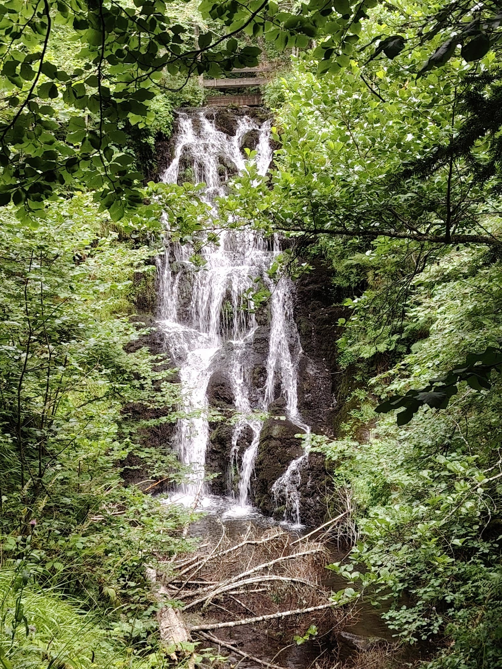
Cascade du Marilhou
4.8Trizac · 6.2 km away
Hikes nearby
Waymarked routes within 15 km, GPX track included.
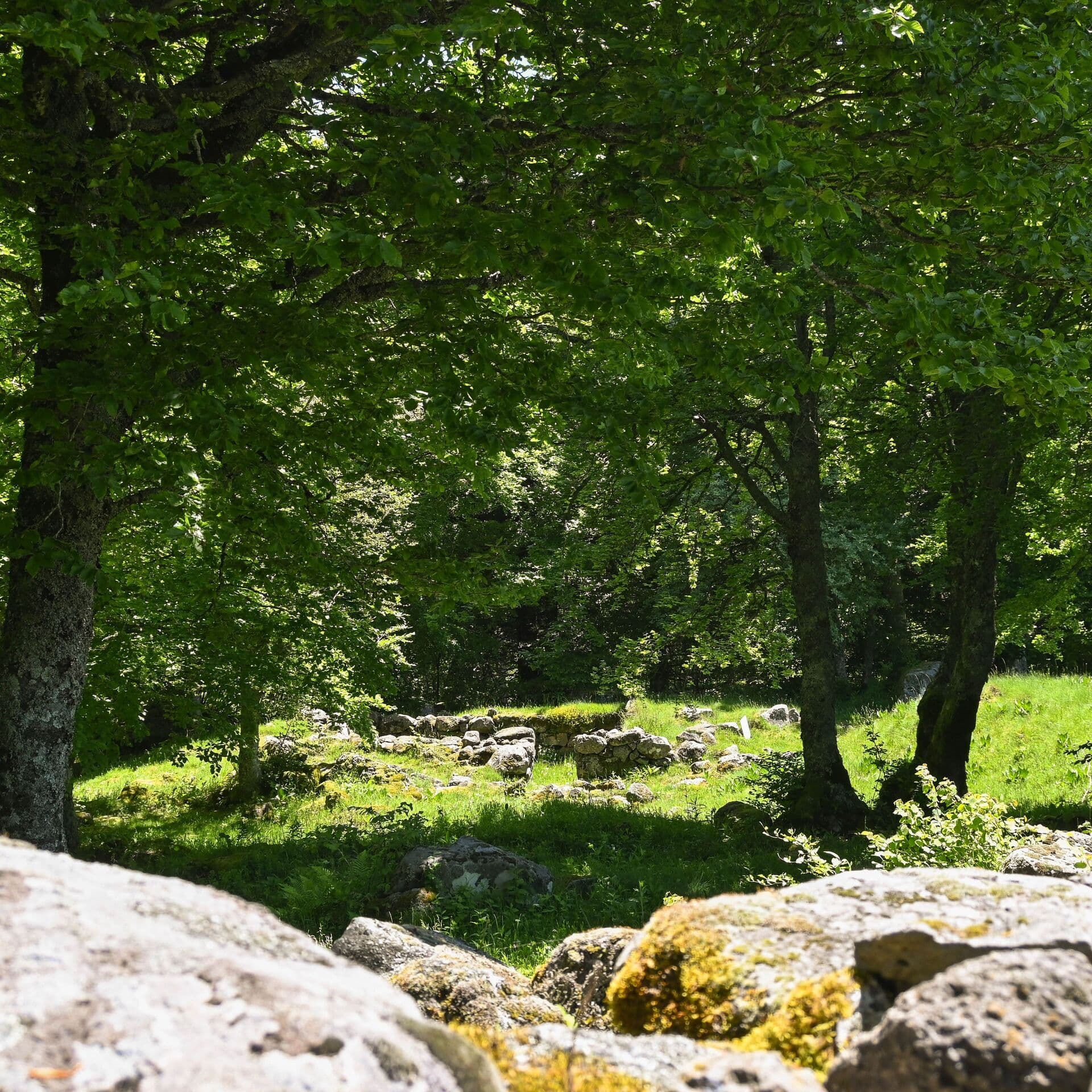 On foot
Cases de Cotteughes
Start: Parking aménagé des Cases de Cotteughes, Saint-Vincent-de-Salers, 15380
- 6.5 km
- +211 m
- 2 h 15 min
 Mountain biking
La Planèze (VTT)
Start: Trizac, place de la Bascule au dessus de la station service du Garage
- 21.8 km
- +544 m
- 3 h 30 min
Hikes around Cascade du Pont d'Aptier
On footCases de Cotteughes
Start: Parking aménagé des Cases de Cotteughes, Saint-Vincent-de-Salers, 15380
- 6.5 km
- +211 m
- 2 h 15 min
Mountain bikingLa Planèze (VTT)
Start: Trizac, place de la Bascule au dessus de la station service du Garage
- 21.8 km
- +544 m
- 3 h 30 min
 On foot
You might also like
More waterfalls in Cantal and nearby.
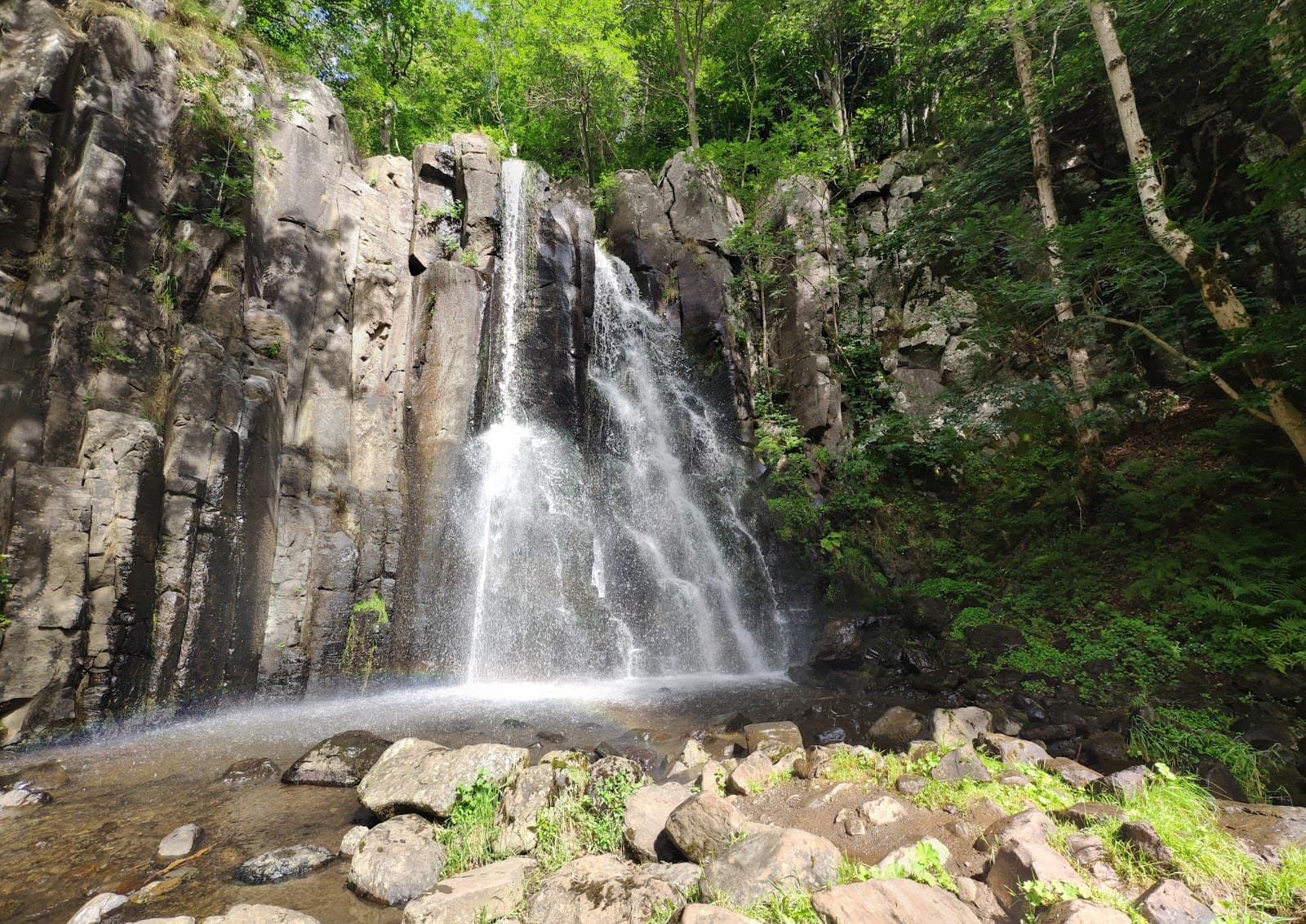
Cascade de la Terrisse
4.7Vèze · Cantal
44 reviews
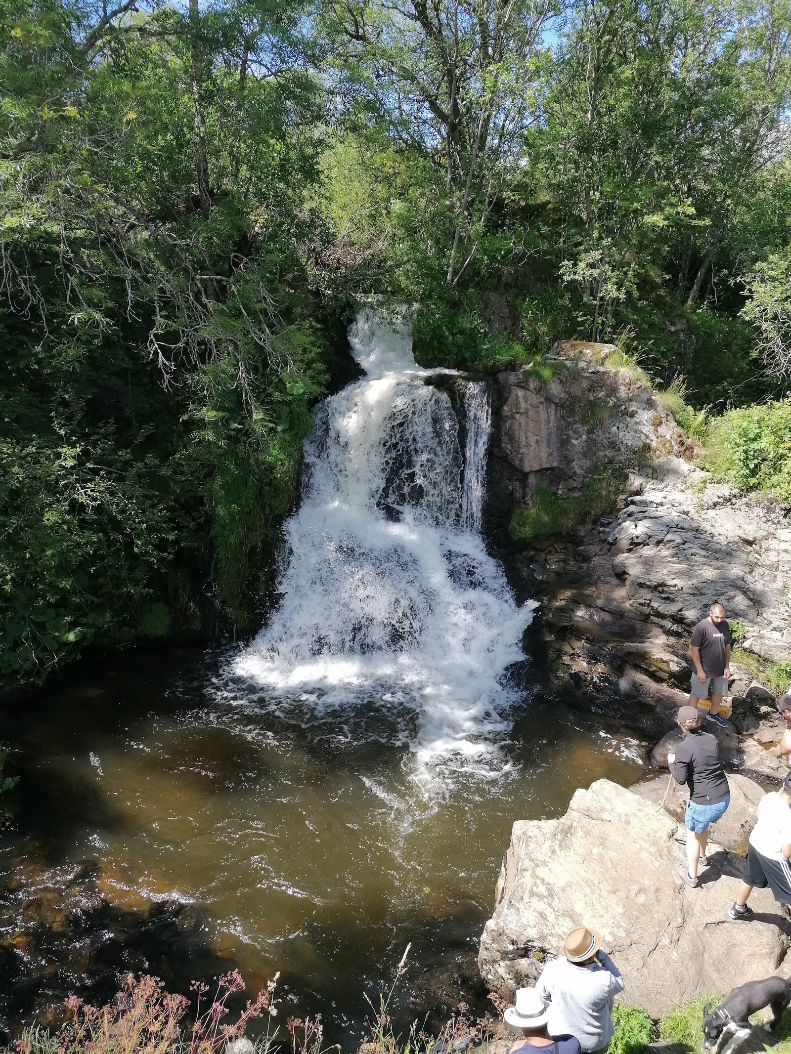
Cascade de Jassy
4.6Saint-Alyre-ès-Montagne · Puy-de-Dôme
136 reviews
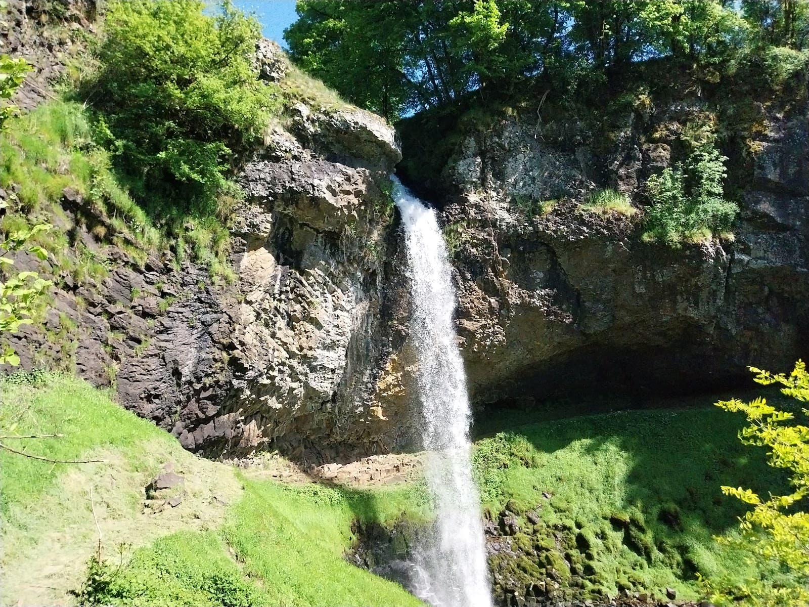
Cascade de Salins
4.6Salins · Cantal
715 reviews
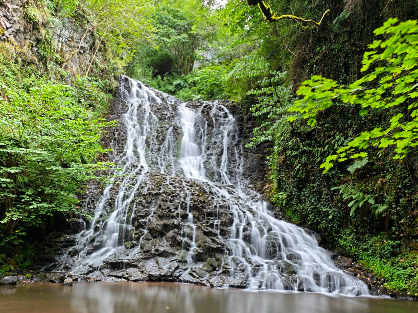
Cascade des Saliens
4.3Nébouzat · Puy-de-Dôme
463 reviews
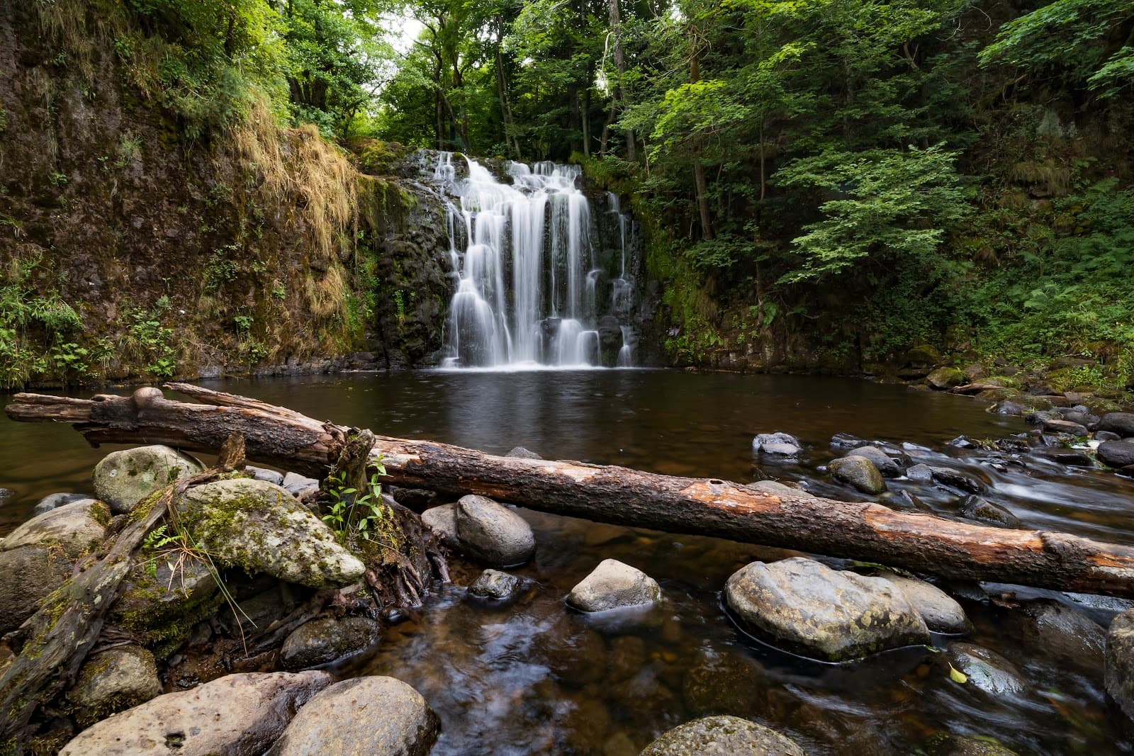
Cascade du Bois de Chaux
4.7Égliseneuve-d'Entraigues · Puy-de-Dôme
320 reviews
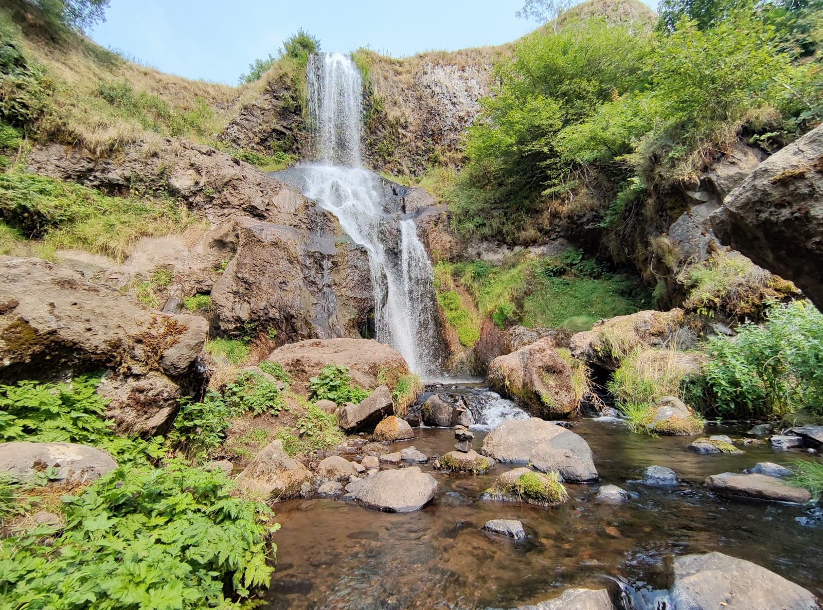
Cascade du Saillant
4.7Marcenat · Cantal
39 reviews