
Our take
A trickle of water over big basalt columns, tucked away on a shady path, and a loop that passes an old mill and a Roman bridge.
A trickle of water slides down big basalt columns, between Pradiers and Vèze, at the end of a shady path in the Cézallier.
Between Pradiers and Vèze, in the Cézallier, a trickle of water slides down big basalt columns. The path that leads there is shady and cool, and in spring, plenty of dusky cranesbills bloom below the falls.
You get there on foot, along the waymarked trail “Au fil de la Sianne” that starts from the fountain square in Vèze. At La Terrisse, go back down by the road under the cliffs, then take the path that goes down on the left into the woods: at the crossroads, a there-and-back leads to the waterfall. The full loop is 12 km, about 4 hours 10 and 490 m of ascent, green waymarking; along the way, you pass the remains of an old mill and a Roman bridge over the stream.
On the plateau, the Lac de Vèze attracts anglers and is good for a picnic.
Why we love it
- A trickle of water sliding down big basalt columns
- In spring, dusky cranesbills in flower at the foot of the falls
- A shady, cool hiking path
- The Roman bridge and the remains of an old mill on the “Au fil de la Sianne” loop
Top tip
Set off from the fountain square in Vèze, on the “Au fil de la Sianne” trail, waymarked in green. At La Terrisse, go back down by the road under the cliffs, then take the path that goes down on the left into the woods: at the crossroads, the waterfall is a there-and-back, to the left.
Before you go
- In spring, when the dusky cranesbills bloom at the foot of the falls.
- The start is at the fountain square, in Vèze, on the “Au fil de la Sianne” trail.
- Follow the green waymarking; at La Terrisse, a path goes down into the woods, and at the crossroads the waterfall is a there-and-back.
- The full loop is 12 km, 4 hours 10 and 490 m of ascent: plan on half a day.
Weather for the next 3 days
Today
10°/2°
2 mm · 49 km/h
Tomorrow
13°/1°
dry · 24 km/h
Tue 27
18°/9°
dry · 21 km/h
Source: Open-Meteo (CC BY 4.0). General lowland forecasts, to be cross-checked with specialist mountain forecasts at altitude.
Practical info
- Address
- 15160 Vèze, France
15160 Vèze - Monday24 hours
- Tuesday24 hours
- Wednesday24 hours
- Thursday24 hours
- Friday24 hours
- Saturday24 hours
- Today24 hours
Opening hours
What visitors say
Google rating
Average of 44 reviews on Google Maps.
Community rating
No reader reviews yet: yours gets things started.
Your logbook
Around Cascade de la Terrisse
Enough to build your day around this address.
A place to see, a night to spend?
Hotels, gîtes and B&Bs within 20 km of Vèze. Availability and online booking.
Worth seeing nearby

Cézallier
4.9Anzat-le-Luguet · 5.8 km away

Cascade des Veyrines
4.7Landeyrat · 7.6 km away

Cascade du Saillant
4.7Marcenat · 7.8 km away
Hikes nearby
Waymarked routes within 15 km, GPX track included.
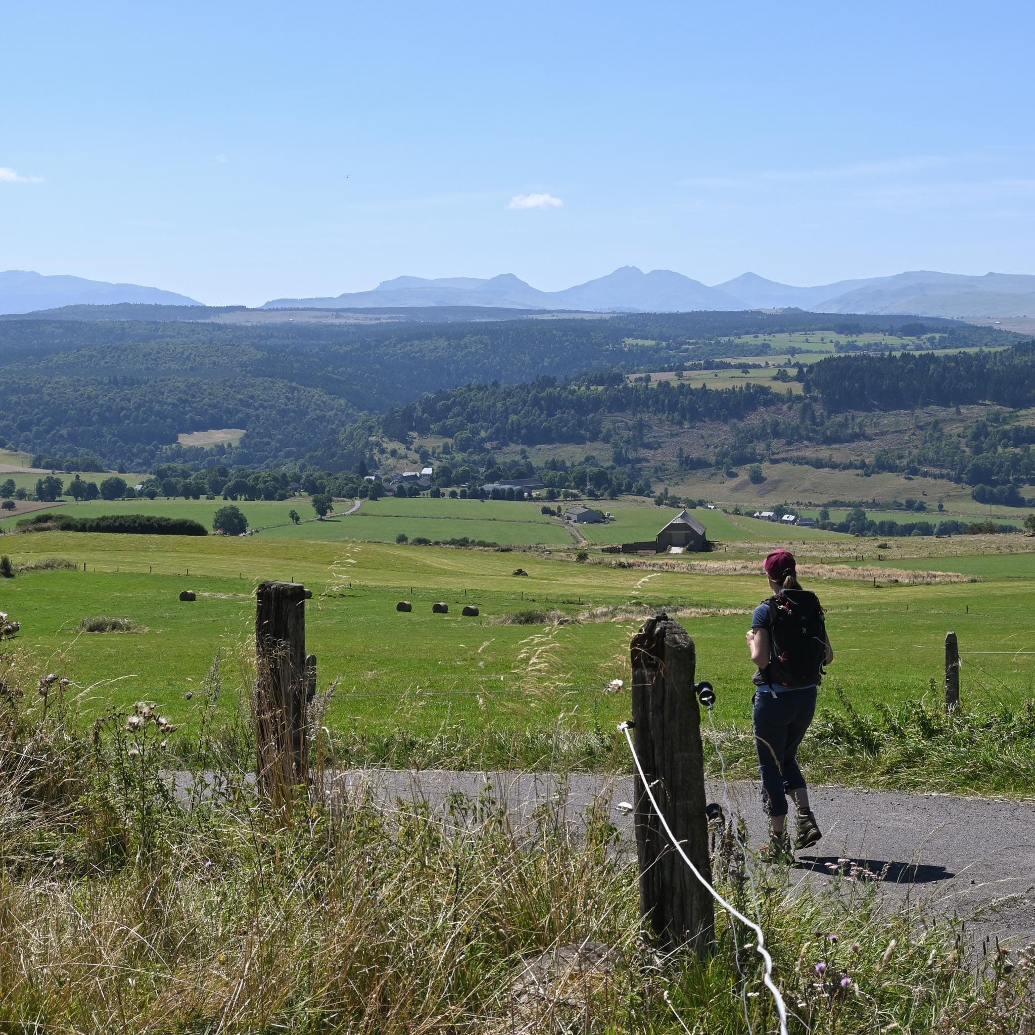 On foot
 On foot
Hikes around Cascade de la Terrisse
On footOn foot On foot
You might also like
More waterfalls in Cantal and nearby.

Cascade du Creux de l'Oulette
4.2Saillant · Puy-de-Dôme
258 reviews

Cascade de Gomot
4.8Saint-Germain-l'Herm · Puy-de-Dôme
18 reviews
Cascade du Saillant
4.7Marcenat · Cantal
39 reviews

Cascade de la Voissière
4.6Chambon-sur-Lac · Puy-de-Dôme
134 reviews

Cascade du Bois de Chaux
4.7Égliseneuve-d'Entraigues · Puy-de-Dôme
320 reviews

Cascade du Rossignolet
4.7Le Mont-Dore · Puy-de-Dôme
342 reviews