
Our take
Two phonolite pinnacles facing each other, a valley carved by a glacier between them, and all of it can be taken in from the car park.
A viewpoint at 1,268 m at the Col de Guéry, facing the Roche Tuilière and the Roche Sanadoire, two phonolite pinnacles. The Lac de Guéry is just below.
The Col de Guéry, at 1,268 m, is crossed on the D983, the road from Le Mont-Dore to Clermont-Ferrand, on the boundary between Orcival and Perpezat. From Orcival, it’s 7 km: the D27, then the D983 for the last kilometre and a half.
Park in the pass car park: the designated viewpoint is right there, with an orientation table and a picnic area. In front of you, to the north, the Roche Tuilière and the Roche Sanadoire, two giants of phonolite, that grey rock that rings under the hammer: the Sanadoire (nearly 1,290 m) owes its name to the “ringing rock”.
The two pinnacles are the remains of upwellings of viscous lava from the Aiguiller massif, about 2 million years ago, later exposed by erosion.
The Tuilière formed in a single pulse of lava: its regular organ-pipe columns split into thin slabs, the lauzes, which once covered the roofs and gave it its name. The Sanadoire, for its part, was built up by several successive pulses of lava.
Between the two, the Fontsalade valley, a trough carved by a former glacier. Behind you, just below the pass, the Lac de Guéry, the highest lake in Auvergne.
Why we love it
- 1,268 m, on the D983
- Roche Tuilière and Roche Sanadoire: two phonolite pinnacles, remains of two volcanoes
- The glacial Fontsalade valley between the two
- Orientation table and picnic area
- Lac de Guéry just below
Top tip
For the photo, stay until sunset: the Lac de Guéry area is a good spot at that hour. And the walking loop around the lake starts from the pass car park (1 hour 30 to 2 hours).
Before you go
- Col de Guéry car park, on the D983. In 2026, charges apply from 1 May to 30 September at weekends, on long weekends, on public holidays and during school holidays (all zones): first half hour free, €0.90 for one hour, €4 for 7 hours, night rate of €6. Parking along the lake is not allowed.
- Free access all year, except in snow or bad weather. A ramp links the car park to the viewpoint, and the car park has dry toilets.
- To tell them apart: the Tuilière is on the left, the one whose columns gave the lauzes for the roofs, the Sanadoire on the right
Weather for the next 3 days
Today
9°/2°
4 mm · 39 km/h
Tomorrow
12°/2°
dry · 15 km/h
Tue 27
16°/10°
dry · 26 km/h
Source: Open-Meteo (CC BY 4.0). General lowland forecasts, to be cross-checked with specialist mountain forecasts at altitude.
Practical info
- Address
- Col de Guéry, 63210 Perpezat, France
63210 Orcival
What visitors say
Google rating
Average of 90 reviews on Google Maps.
Community rating
No reader reviews yet: yours gets things started.
Your logbook
Around Col de Guéry
6 spots in and around Orcival, enough to build your day.
Where to eat close by
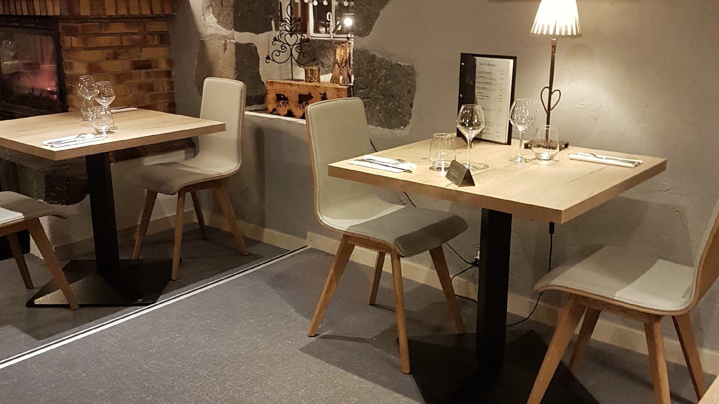
Auberge de la Golmotte
4.7Le Mont-Dore · 4.2 km away
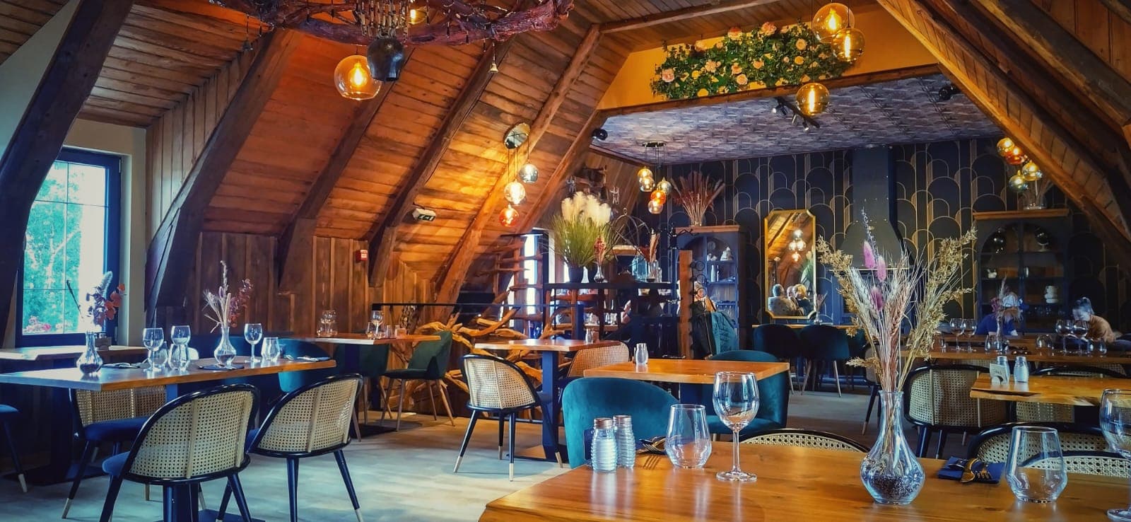
Là-Haut
4.8Le Mont-Dore · 5.3 km away
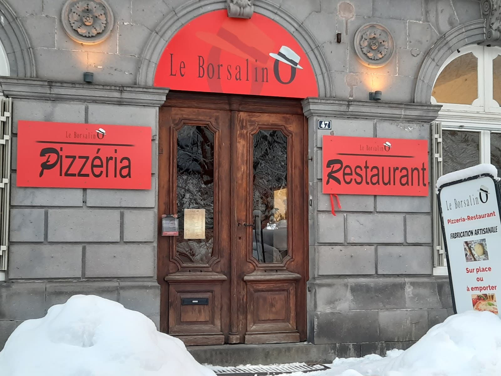
Le Borsalino
4.6Le Mont-Dore · 5.5 km away
Where to stay nearby


Hikes nearby
Waymarked routes within 15 km, GPX track included.
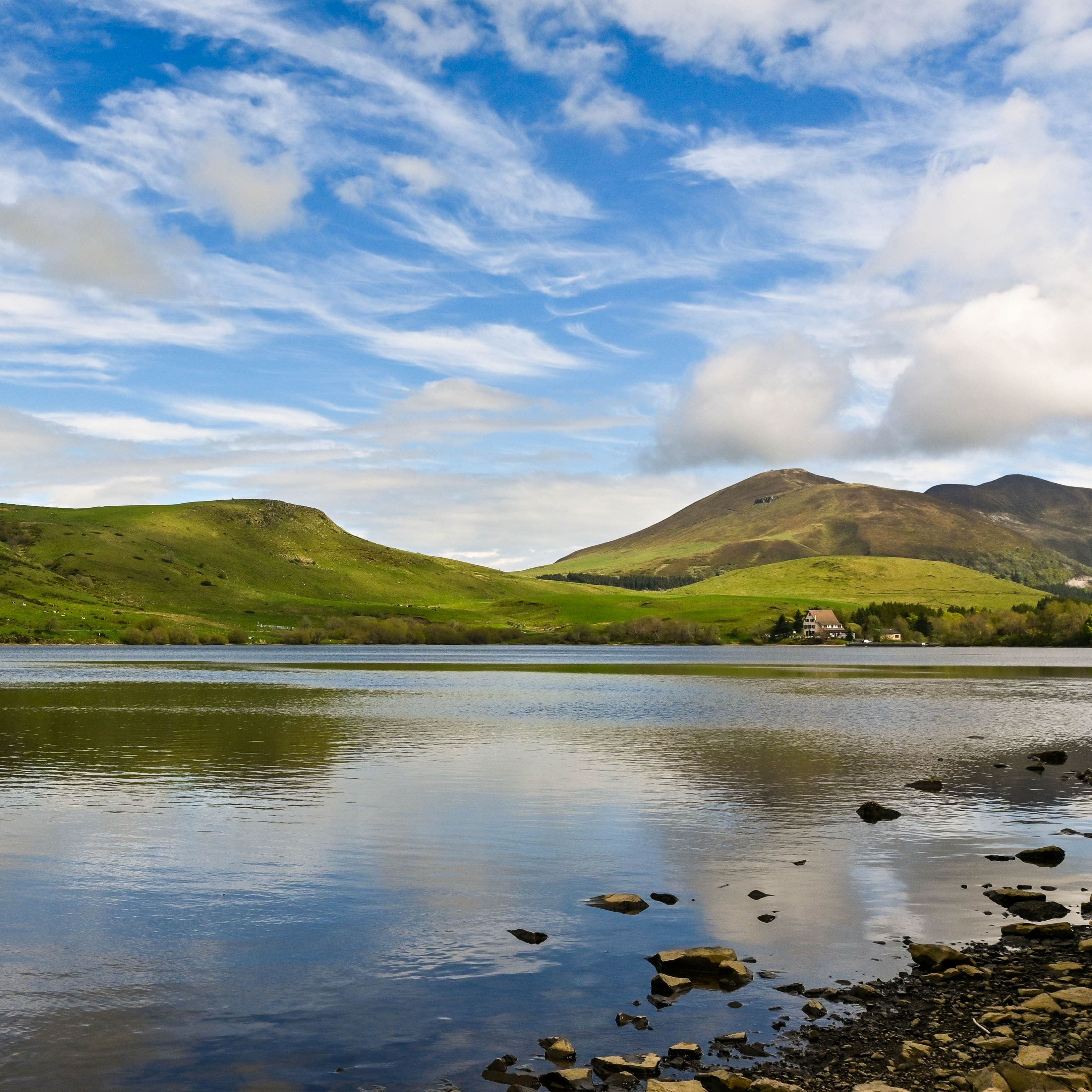 On foot
Plateau du Guéry via the Puy Loup
Start: Centre Montagnard Cap Guéry, Col de Guéry, 63210 Orcival
- 13.2 km
- +530 m
- 4 h 30 min
 On foot
Banne d'Ordanche
Start: Au panneau de randonnée, au bout du parking le long de la route
- 8.5 km
- +488 m
- 3 h
Worth a read
Articles and guides that mention this place.

Guide
Mer de nuages en Auvergne : où la voir et comment la prévoir
Brouillard plaqué sur la Limagne, soleil au sommet : le mécanisme de l'inversion, nos 5 spots pour voir une mer de nuages et la méthode pour la prévoir la veille au soir.

Guide
L'Auvergne en camping-car et en van · Le guide pratique
Toutes les infos pratiques pour parcourir l'Auvergne en camping-car ou en van : aires par département, spots tolérés, cols routiers (Pas de Peyrol et compagnie), itinéraire 5 jours, services techniques.

Guide
Auvergne en famille · nos idées par tranche d'âge
Visiter l'Auvergne en famille avec un bébé, un primaire ou un ado : des idées concrètes par tranche d'âge, des parcs aux randos, des baignades aux nuits insolites.
Hikes around Col de Guéry
On footPlateau du Guéry via the Puy Loup
Start: Centre Montagnard Cap Guéry, Col de Guéry, 63210 Orcival
- 13.2 km
- +530 m
- 4 h 30 min
On footBanne d'Ordanche
Start: Au panneau de randonnée, au bout du parking le long de la route
- 8.5 km
- +488 m
- 3 h
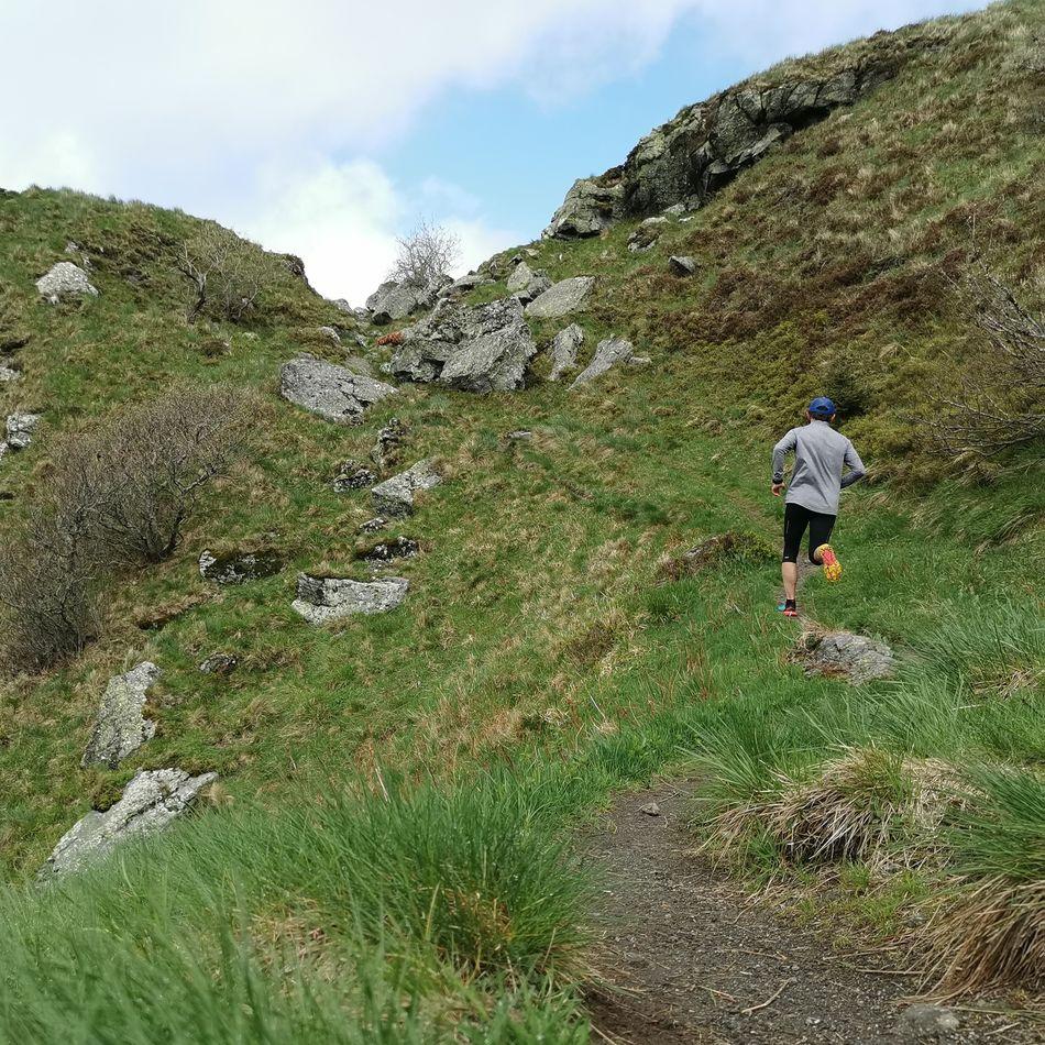 Trail running
You might also like
More viewpoints in Puy-de-Dôme and nearby.

Lac de Guéry
4.7Le Mont-Dore · Puy-de-Dôme
813 reviews

Col de la Croix-Morand
4.8Chambon-sur-Lac · Puy-de-Dôme
253 reviews

La Banne d'Ordanche
4.8Murat-le-Quaire · Puy-de-Dôme
345 reviews

Lac Chauvet
4.0Picherande · Puy-de-Dôme
277 reviews

Château-Rocher
4.4Saint-Rémy-de-Blot · Puy-de-Dôme
767 reviews

Puy de l'Angle
4.9Le Mont-Dore · Puy-de-Dôme
59 reviews