
Our take
A huge block of rock on the edge of the Chavade plateau, between the Cézallier and the Monts Dore. The story goes that during the Revolution, priests secretly said Mass in a cave below.
A huge block of rock set on the edge of the Chavade plateau, above Valbeleix. Fifteen minutes' walk from the car park, and a loop you can do in 45 minutes.
A geological curiosity in Valbeleix (Puy-de-Dôme), between the Cézallier and the Massif du Sancy. A huge block of rock set on the edge of the Chavade plateau, probably an old volcanic chimney exposed by the glacier that once covered the valley. Open access and free of charge: 15 minutes' walk from the car park, plus a short waymarked loop of about 45 minutes. From the rock, the view runs out to the puys of Montcé, Montcineyre and Montchal, as far as the Massif du Sancy; turn around, and there are the Cézallier mountains. Combine it with Compains or Lac Pavin.
Why we love it
- The big block of rock set on the edge of the Chavade plateau
- A site with open access, also a take-off point for paragliding and hang gliding
Top tip
From Valbeleix, take the D127 towards Vauzelle la Mayrand, then turn left towards la Chavade-Roche Nité: the car park is on the left as you arrive on the plateau. The short waymarked loop takes about 45 minutes.
Before you go
- The short Roche Nitée loop, from the Léa et Tino walks series, is 1.9 km in 45 minutes, graded easy.
- Dogs are allowed, but must be kept on a lead because of the herds.
- From the rock, pick out the puys of Montcé, Montcineyre and Montchal, then the Sancy; turn around for the Cézallier mountains
- Allow 15 minutes' walk from the car park, 45 minutes for the loop
- From the road up to the rock, look for the cave where, they say, priests secretly said Mass during the Revolution
Weather for the next 3 days
Today
10°/2°
4 mm · 55 km/h
Tomorrow
12°/1°
dry · 18 km/h
Tue 27
17°/10°
0 mm · 18 km/h
Source: Open-Meteo (CC BY 4.0). General lowland forecasts, to be cross-checked with specialist mountain forecasts at altitude.
Practical info
- Address
- FX9W+2X, 63610 Valbeleix, France
63610 Valbeleix
What visitors say
Google rating
Average of 20 reviews on Google Maps.
Community rating
No reader reviews yet: yours gets things started.
Your logbook
Around La Roche Nité
2 spots in and around Valbeleix, enough to build your day.
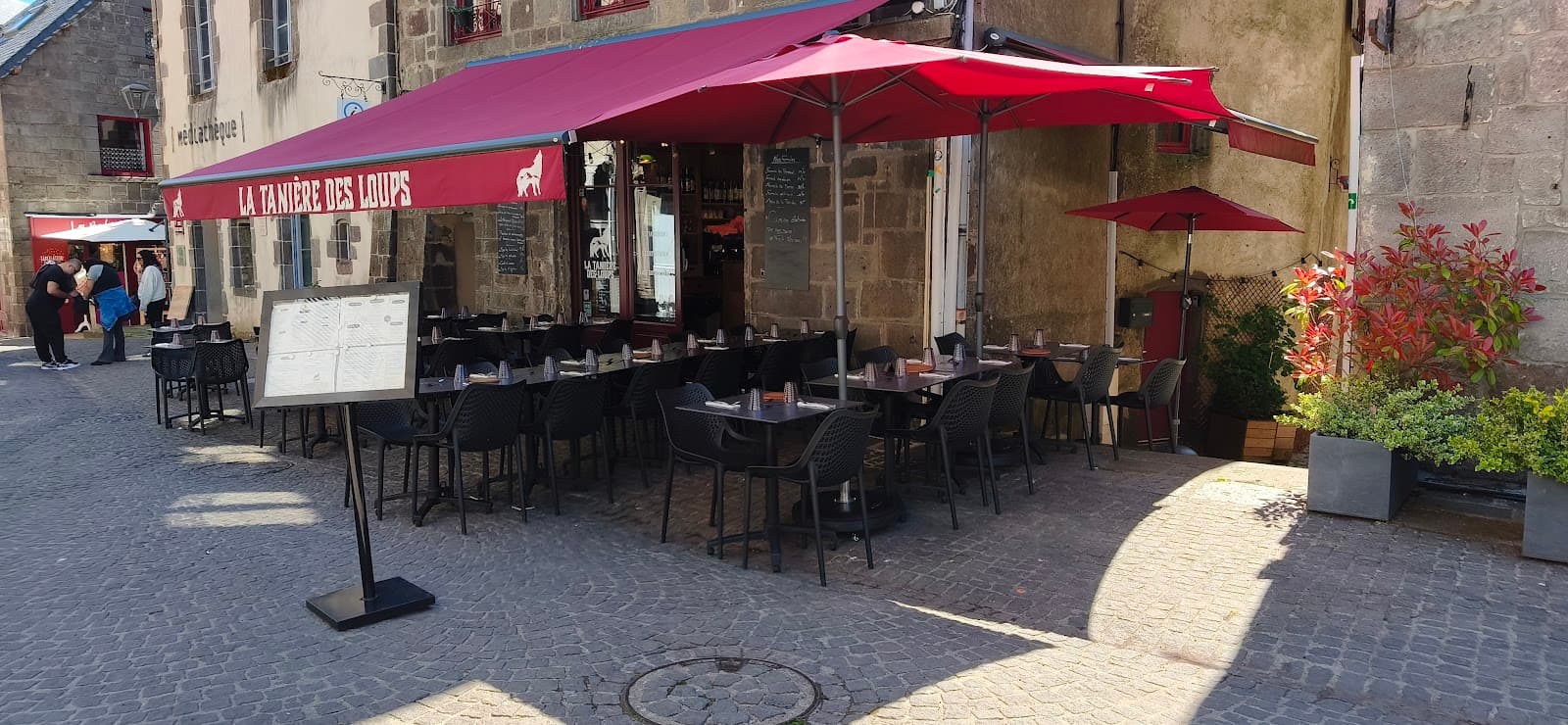
Where to eat close by
Where to stay nearby
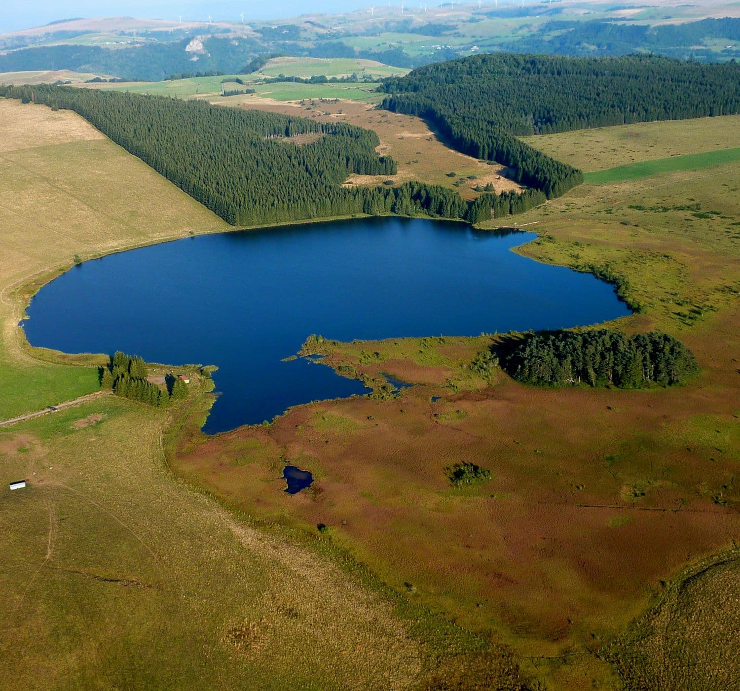
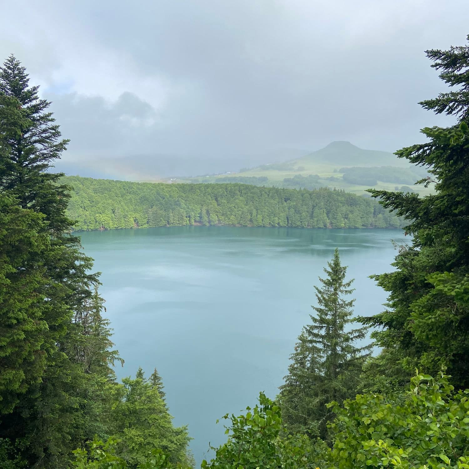
Hikes nearby
Waymarked routes within 15 km, GPX track included.
 On foot
 On foot
Hikes around La Roche Nité
On footOn foot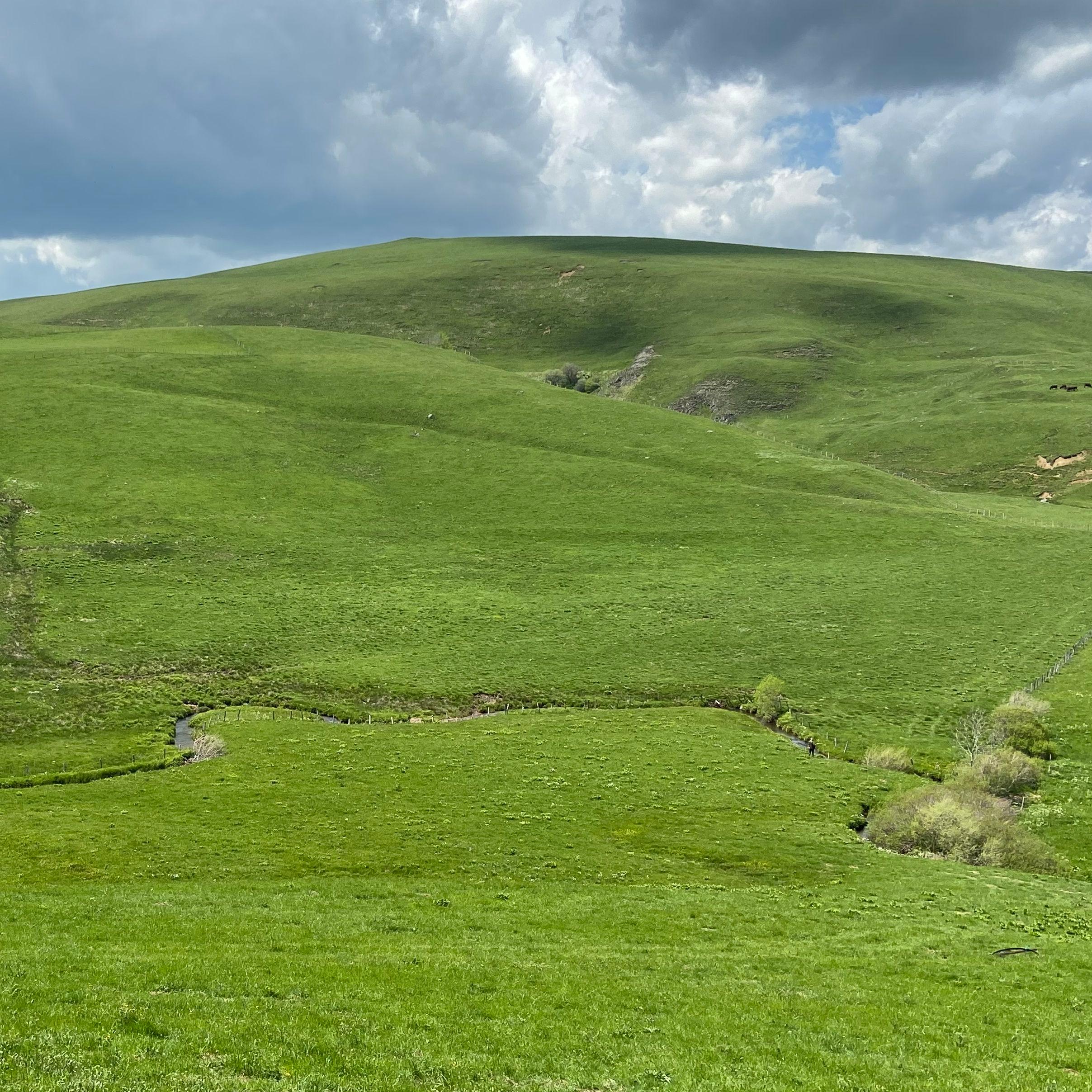 On foot
Jassy
Start: Panneau de départ et petit parking, sur la D32, en bas du village, face à la mairie
- 14.3 km
- +321 m
- 4 h
You might also like
More photo spots in Puy-de-Dôme and nearby.

Célestins spring
4.5Vichy · Allier
1928 reviews

Cheminée de Fée
4.3Saint-Diéry · Puy-de-Dôme
315 reviews

Rocher de Bonnevie
4.5Murat · Cantal
33 reviews

Résidence Le Bois de la Reine
4.0Besse-et-Saint-Anastaise · Puy-de-Dôme
487 reviews

Puy de Montchal
4.6Besse-et-Saint-Anastaise · Puy-de-Dôme
53 reviews

Camping Bois de Gravière
4.2Besse-et-Saint-Anastaise · Puy-de-Dôme
592 reviews
Continue
Do you run La Roche Nité?
Claim your page to update the details, add your photos and access our editorial feature offers.
- Free for info & photos
- Editorial feature (quote on request)
- Social media sponsorship (40 000+ Instagram and Facebook followers)