
Our take
A small road follows the Couze de Valbeleix at the bottom of the gorges. Along the way: the village of Courgoul and its pailhats, dry-stone terraces that an association of residents has been rebuilding since 1998, free to visit all year round.
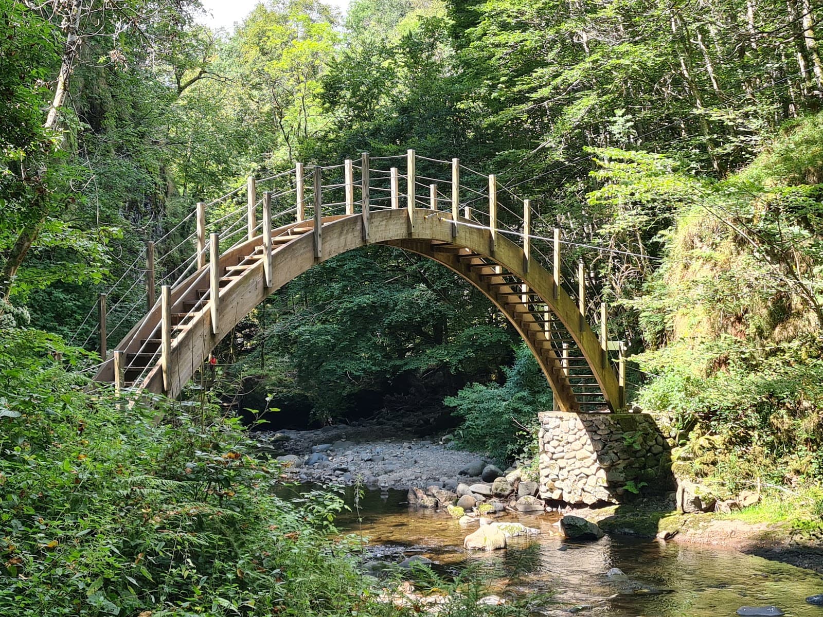
A small road follows the Couze de Valbeleix at the bottom of wooded gorges: a restored bridge that seems to date from Gallo-Roman times, the pailhats of Courgoul and an easy 2.5 km loop.
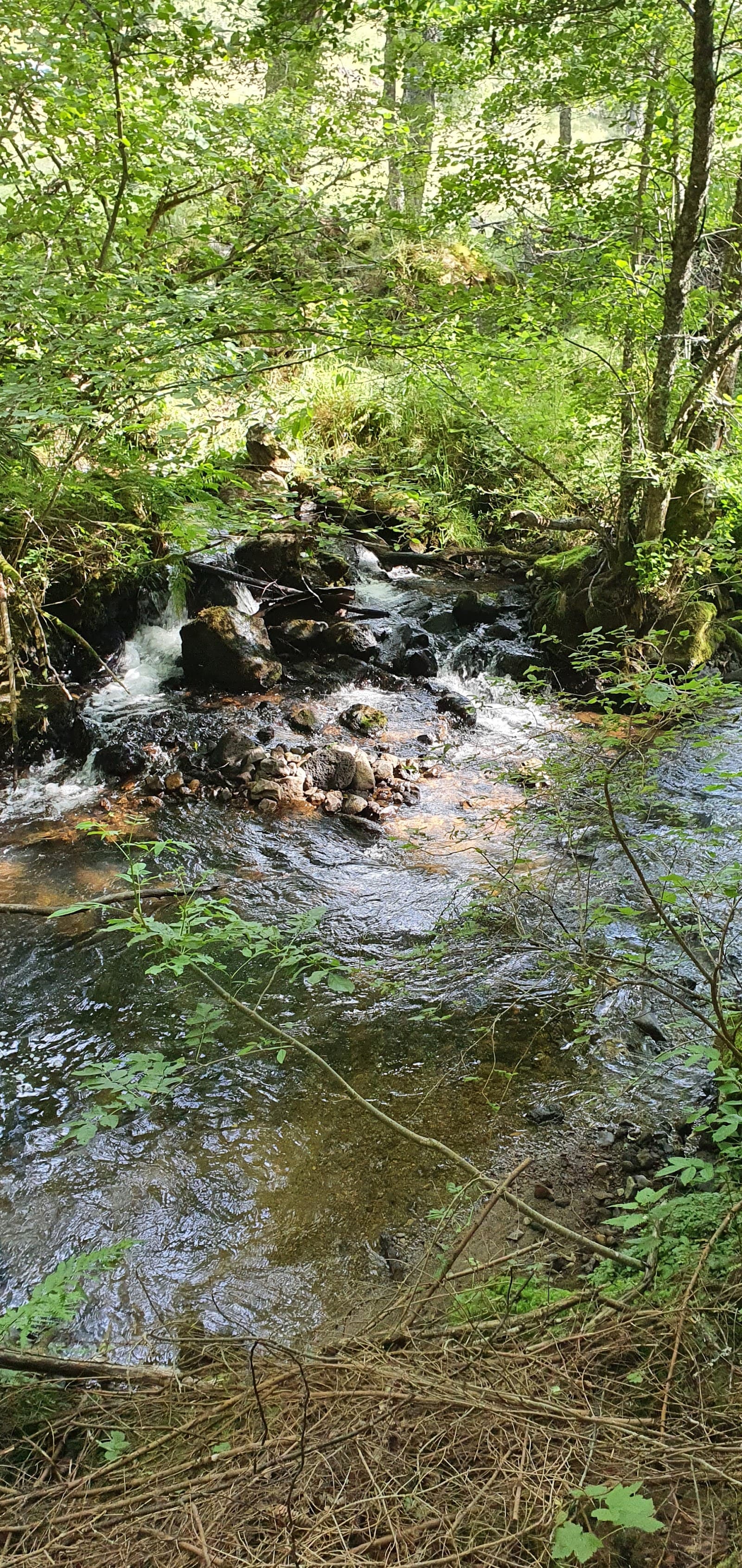
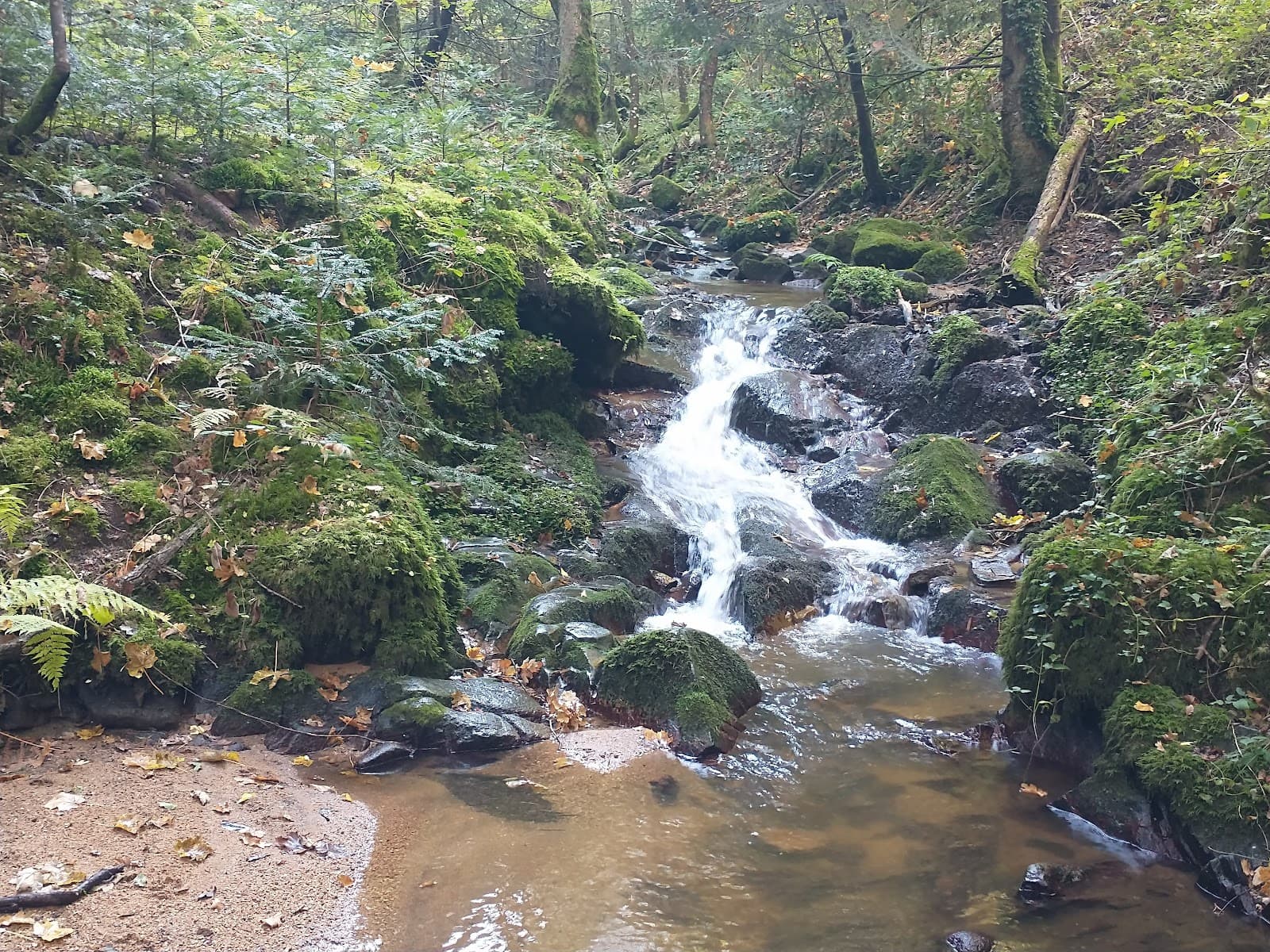
Between Saurier and Valbeleix, west of Issoire, a small road follows the Couze de Valbeleix along the bottom of a valley that narrows into wooded gorges. The river comes down from the Cézallier.
In the heart of the gorges, a restored bridge, which seems to date from Gallo-Roman times, spans the Couze. Around the village of Courgoul, the slopes are covered in pailhats, dry-stone terraces that an association of residents has been restoring since 1998. Free to visit all year round.
Drive or cycle through, then stop at Courgoul: the “Entre saules et pailhats” loop (2.5 km, about 1 hour 30) crosses a bridge over the Couze, climbs into the woods and comes back down along the terraces.
Why we love it
- A restored bridge, which seems to date from Gallo-Roman times, in the heart of the gorges
- The pailhats of Courgoul, dry-stone terraces rebuilt by an association from the village
- The vines and the educational apiary set up on the terraces
- The easy “Entre saules et pailhats” loop, 2.5 km starting from Courgoul
Top tip
At Courgoul, the “Entre saules et pailhats” loop starts on the small road opposite the métier à ferrer (farrier's stocks): 2.5 km, about 1 hour 30, butterfly waymarks. It crosses a bridge over the Couze, climbs into the woods, then comes back down along the pailhats. Dogs on a lead: livestock graze in the area.
Before you go
- In spring, when the Couze is running well and the terraces turn green again.
- The gorges road runs between Saurier and Valbeleix, west of Issoire. From Valbeleix, follow the D26 for about 4 km: the old bridge is on the left, level with the road bridge, with somewhere to park just before it.
- The “Entre saules et pailhats” loop starts from Courgoul on the small road opposite the métier à ferrer: 2.5 km, about 1 hour 30, butterfly waymarks.
- The route crosses a bridge over the Couze, climbs into the woods, then comes back down along the pailhats. Dogs on a lead: livestock graze in the area.
- You can drive or cycle through, but it is a small road along the valley floor: you don't go fast on it.
Weather for the next 3 days
Today
14°/4°
2 mm · 39 km/h
Tomorrow
14°/1°
dry · 7 km/h
Tue 27
21°/10°
0 mm · 13 km/h
Source: Open-Meteo (CC BY 4.0). General lowland forecasts, to be cross-checked with specialist mountain forecasts at altitude.
Practical info
- Address
- Gorges de Courgoul, 63610 Valbeleix, France
63610 Valbeleix
What visitors say
Google rating
Average of 45 reviews on Google Maps.
Community rating
No reader reviews yet: yours gets things started.
Your logbook
Around Gorges de Courgoul
2 spots in and around Valbeleix, enough to build your day.
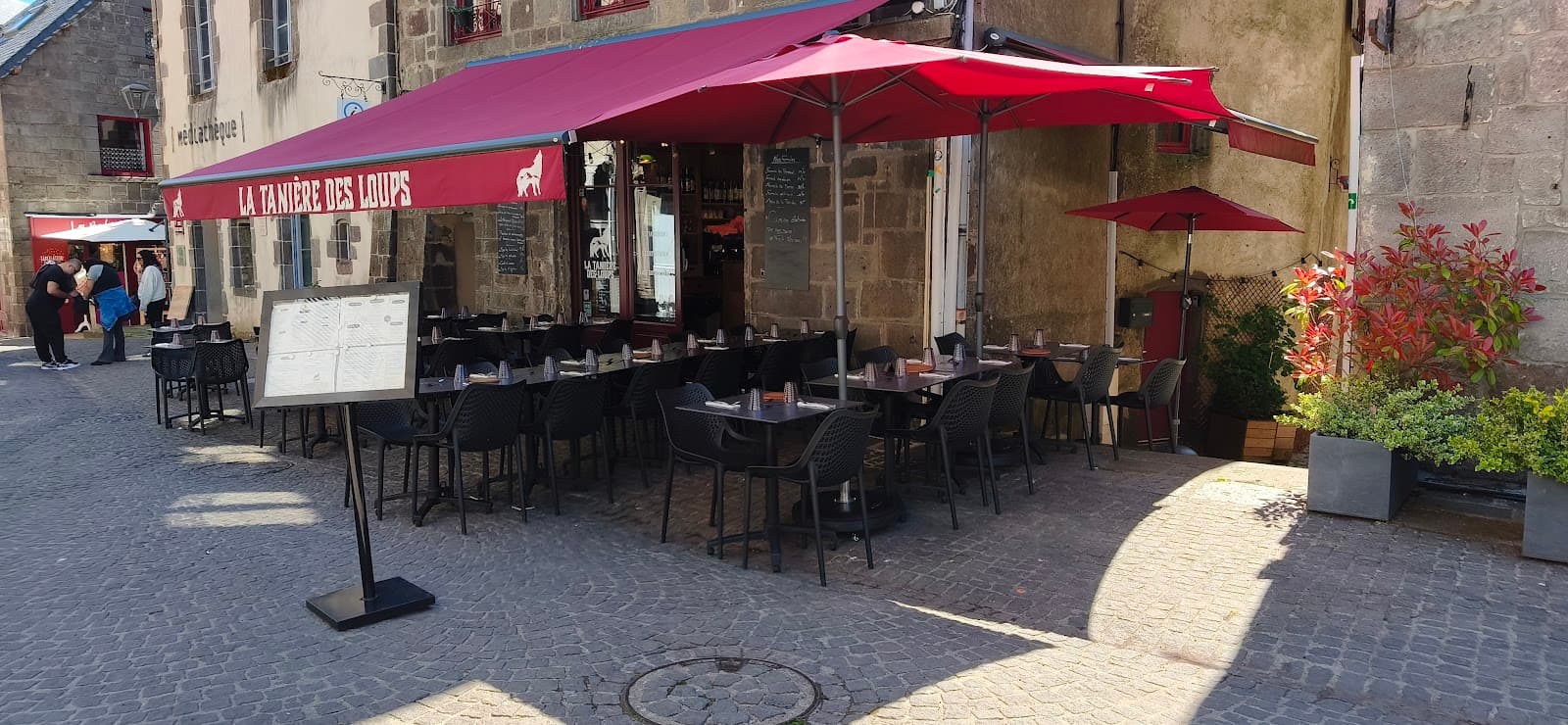
Where to eat close by
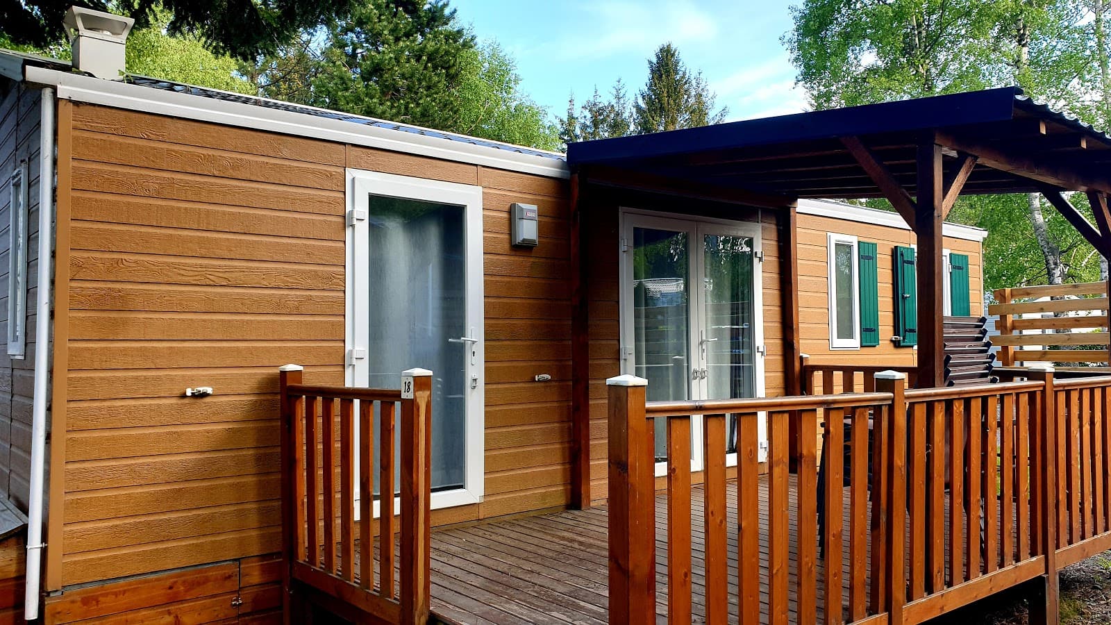
Where to stay nearby
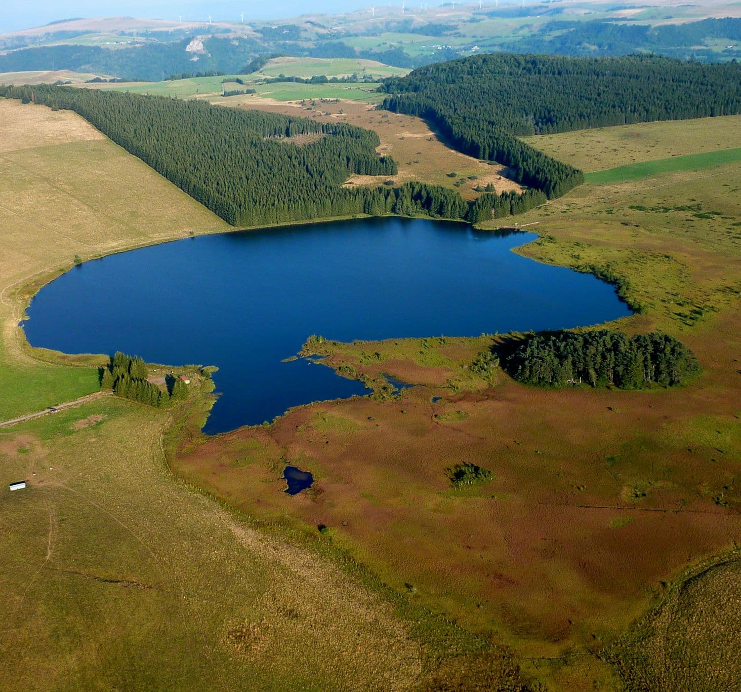
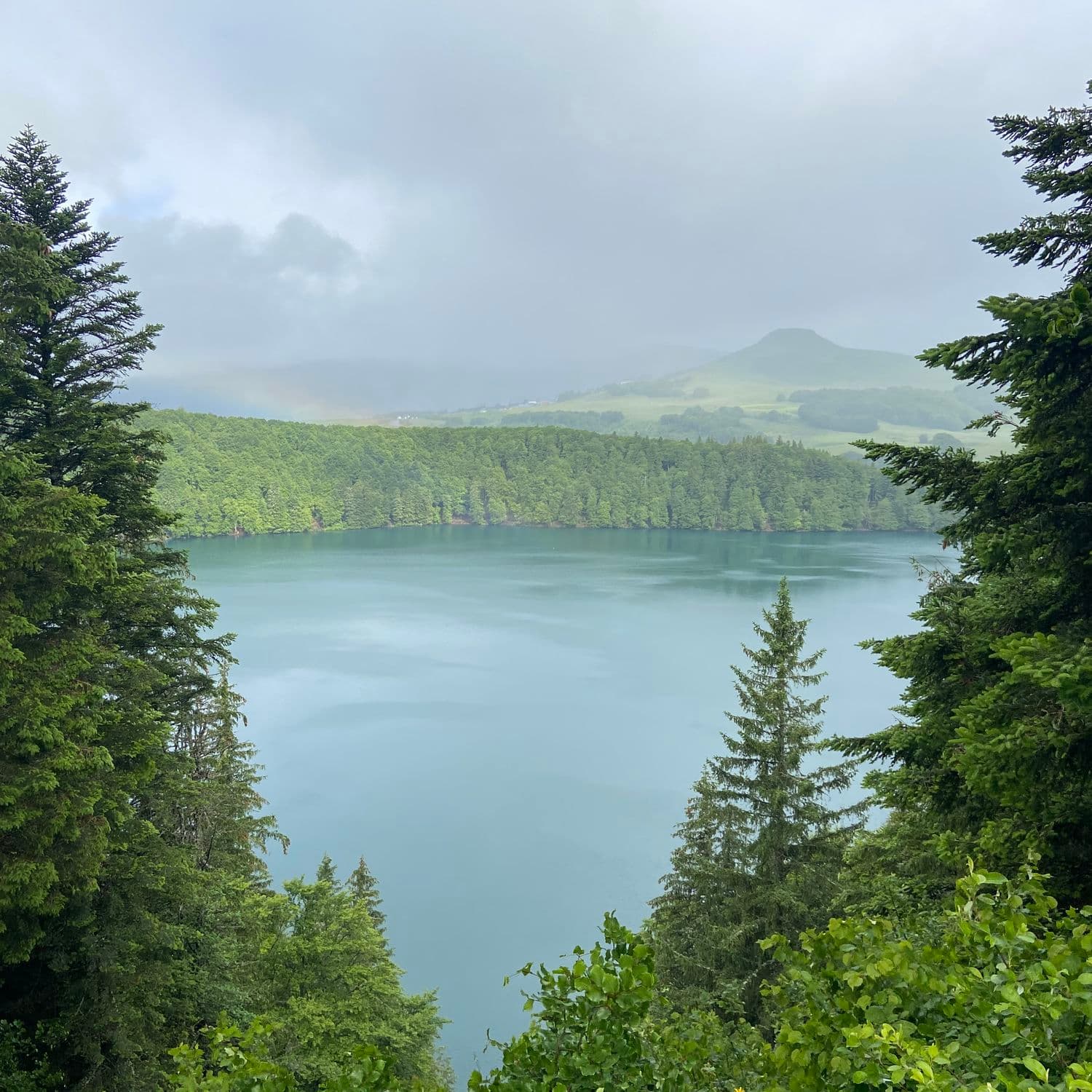
Hikes nearby
Waymarked routes within 15 km, GPX track included.
 On foot
 On foot
Hikes around Gorges de Courgoul
On footOn foot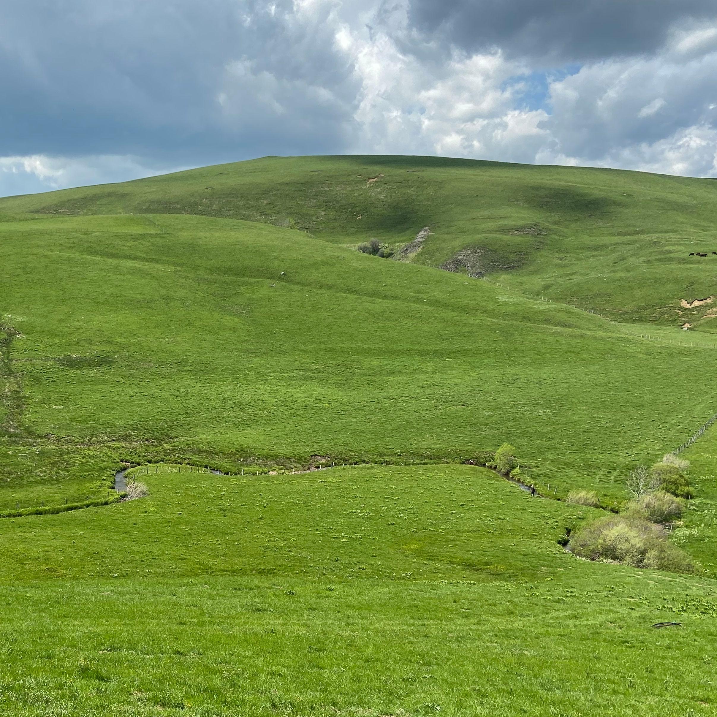 On foot
Jassy
Start: Panneau de départ et petit parking, sur la D32, en bas du village, face à la mairie
- 14.3 km
- +321 m
- 4 h
You might also like
More gorges in Puy-de-Dôme and nearby.
Gorges de la Jordanne
4.4Saint-Cirgues-de-Jordanne · Cantal
1331 reviews
La Couze Pavin
4.4Saint-Floret · Puy-de-Dôme
74 reviews
Gorges de Ceyrat
4.5Ceyrat · Puy-de-Dôme
590 reviews
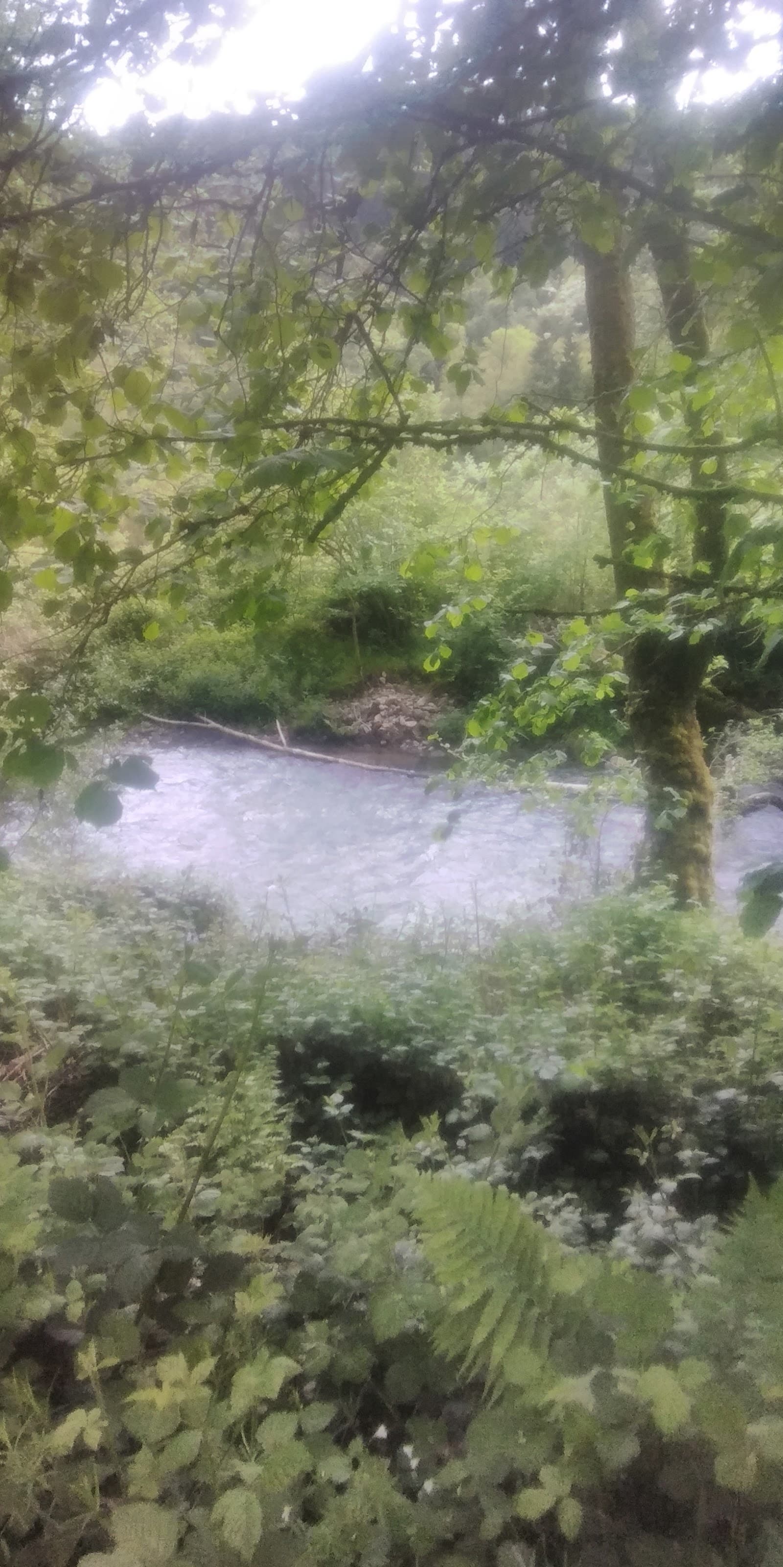
Gorges d'Avèze
3.0Messeix · Puy-de-Dôme
11 reviews
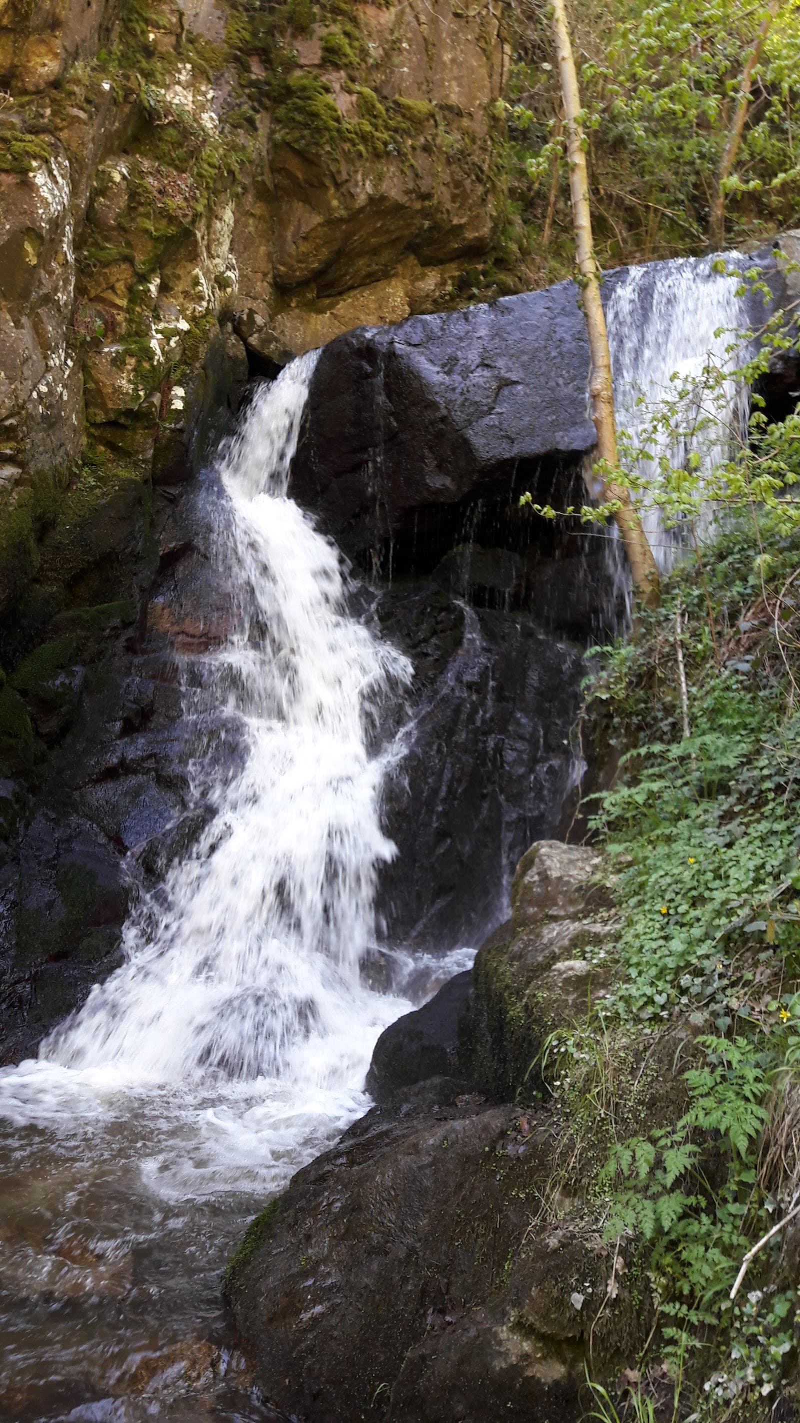
Gorges d'Enval
4.5Enval · Puy-de-Dôme
115 reviews
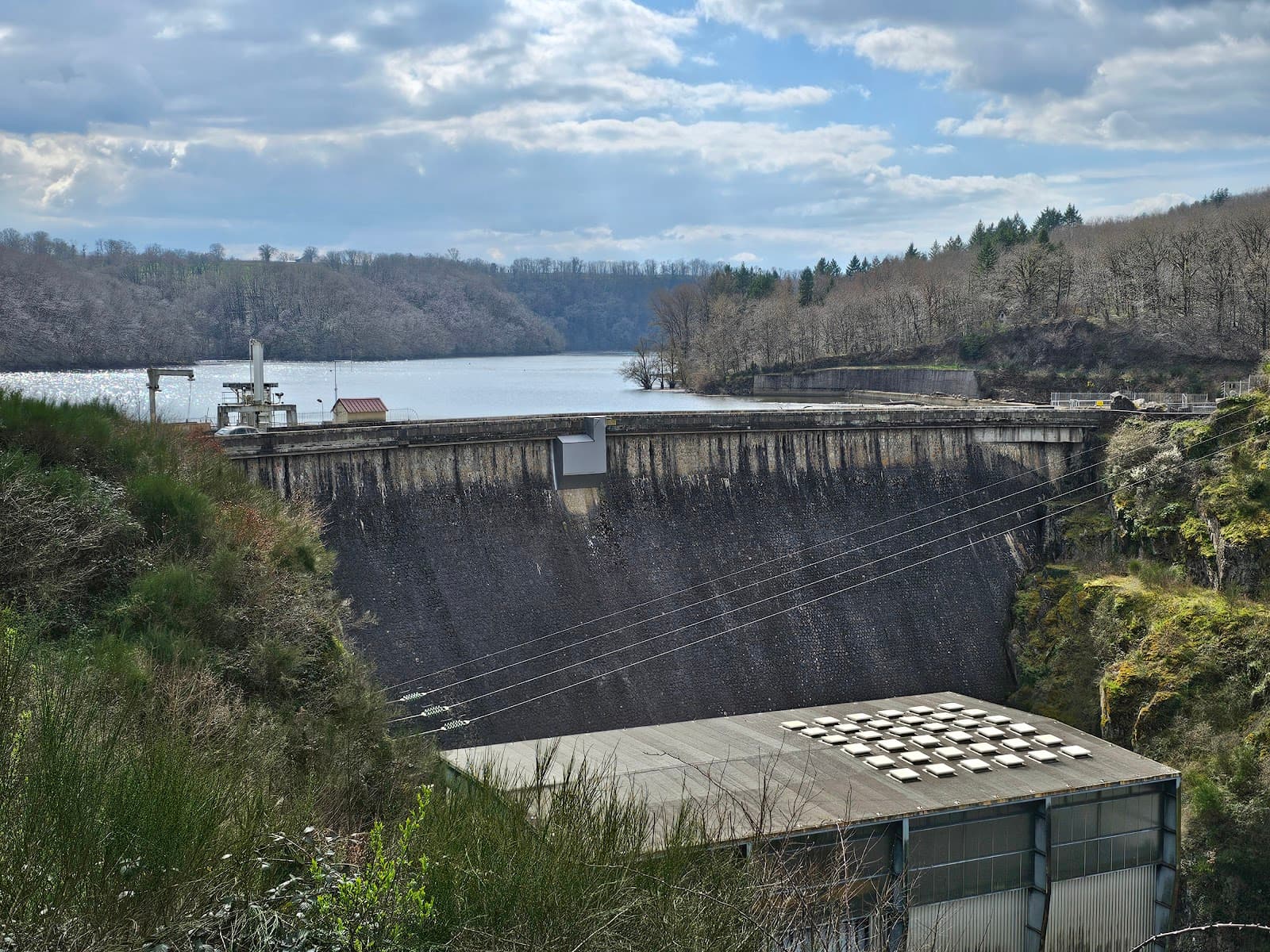
Gorges du Cher et retenue de Rochebut
4.4Mazirat · Allier
40 reviews