
Our take
A series of waterfalls under the chestnut trees, a shaded path and a setting that Maupassant describes in Mont-Oriol. All with open access.
A wooded cleft where the Ambène tumbles down in rapids and waterfalls, a stone's throw from Riom. Shaded, green and properly wild.
Just above Enval, between Riom and Volvic, the Ambène plunges into a wooded cleft full of rapids and small waterfalls. You walk under chestnut trees, at the water's edge, with boulders everywhere, on a well-shaded path.
The path follows the stream then climbs: the loop of the APAGE path (APAGE is the local association that lays it out) is 8.5 km, 3 hours of walking and 352 m of ascent, via the Grand and Petit Gornand waterfalls. For a shorter outing, man-made crossings let you get over the torrent and reach the Bout du Monde waterfall. Higher up, the fox path opens up the view of the Château de Tournoël.
Watch where you put your feet: wet rocks are properly slippery, and the loop crosses a ford and steep steps. Good shoes, and keep children close by near the pools.
Why we love it
- The Ambène tumbling down in rapids and small waterfalls under the chestnut trees
- The shaded path, at the bottom of the wooded cleft
- Boulders everywhere along the water
- The view of the Château de Tournoël from the fox path
Top tip
Park at the Gorges d'Enval car park, on the way out of the village towards Châtel-Guyon. It's 300 m along on the left on the D15, and the APAGE path starts from there.
Before you go
- In spring, when the Ambène is in full flow and the waterfalls give their all.
- The APAGE path loop is 8.5 km, 3 hours of walking and 352 m of ascent, rated 4 out of 5: for a shorter outing, aim for the Bout du Monde waterfall, reached by man-made crossings over the torrent.
- Grippy soles: wet rocks really are slippery, and keep children close to you around the pools.
- For the view of the Château de Tournoël, go further up by the fox path.
Weather for the next 3 days
Today
14°/6°
2 mm · 41 km/h
Tomorrow
14°/4°
dry · 10 km/h
Tue 27
22°/10°
1 mm · 17 km/h
Source: Open-Meteo (CC BY 4.0). General lowland forecasts, to be cross-checked with specialist mountain forecasts at altitude.
Practical info
- Address
- Gorges d'Enval, 63530 Enval, France
63530 Enval
What visitors say
Google rating
Average of 115 reviews on Google Maps.
Community rating
No reader reviews yet: yours gets things started.
Your logbook
Around Gorges d'Enval
Enough to build your day around this address.
Where to eat close by
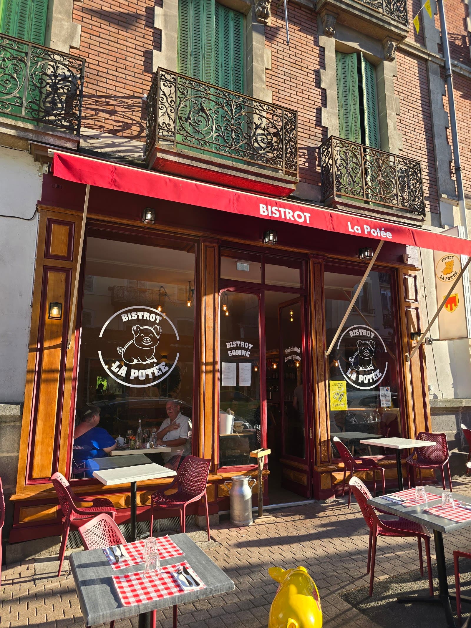 €€
Bistrot La Potée
4.4Châtel-Guyon · 3.4 km away
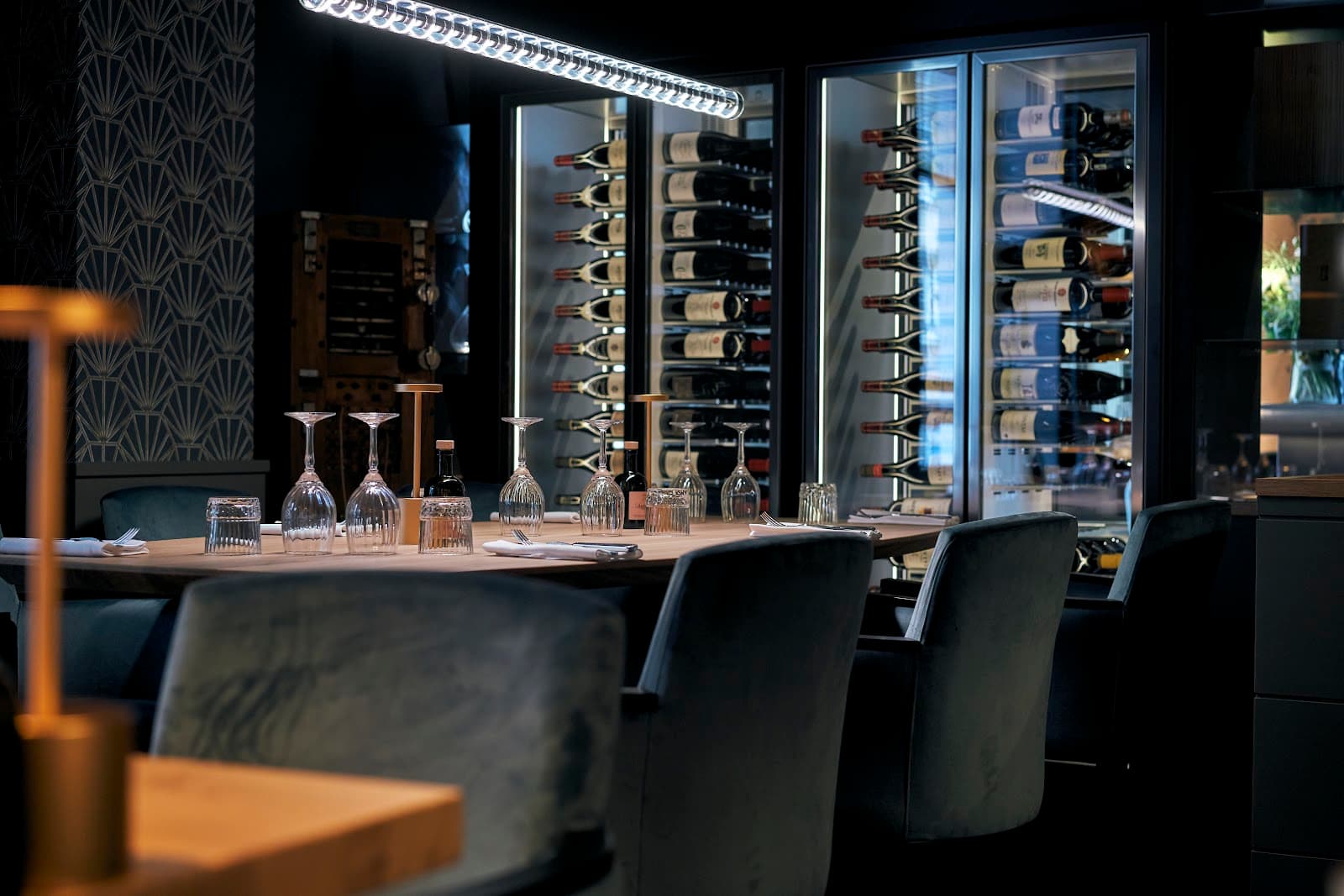 €€
Augustine Bistronomie 1890
4.8Riom · 6.4 km away
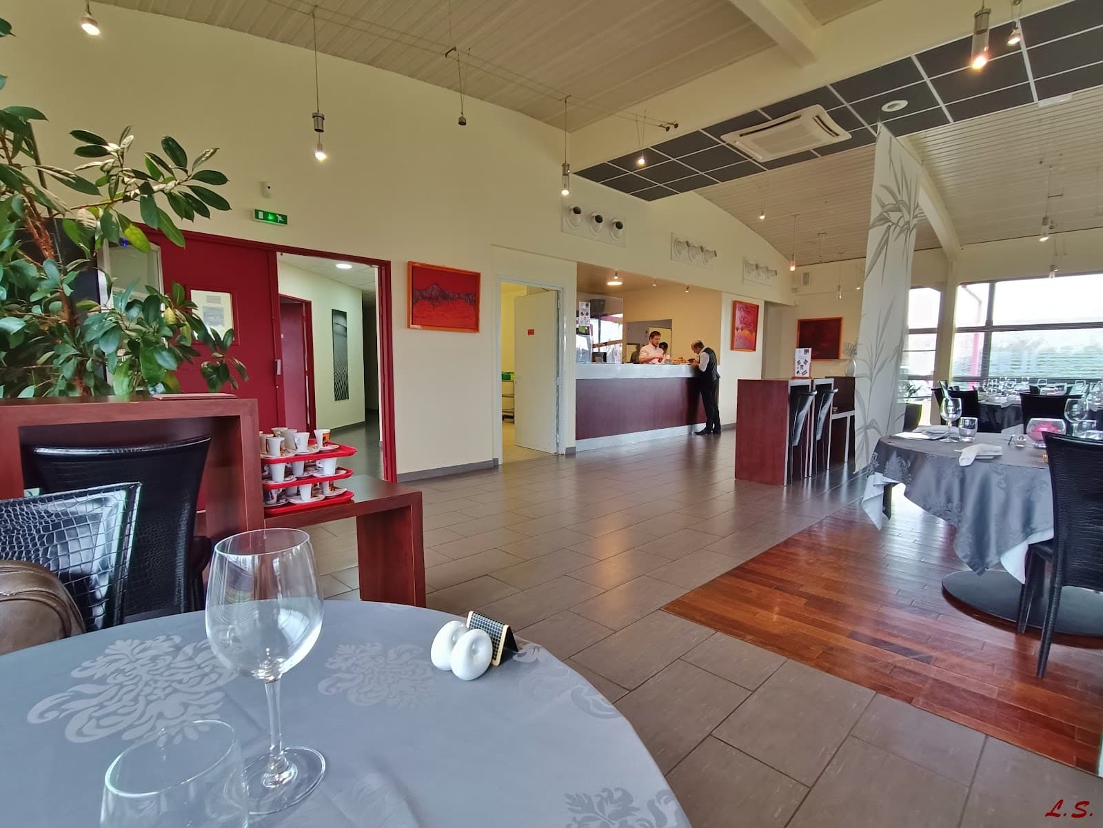 €€
L'Envolée
4.6Riom · 6.7 km away
Where to stay nearby

Hikes nearby
Waymarked routes within 15 km, GPX track included.
 Mountain biking
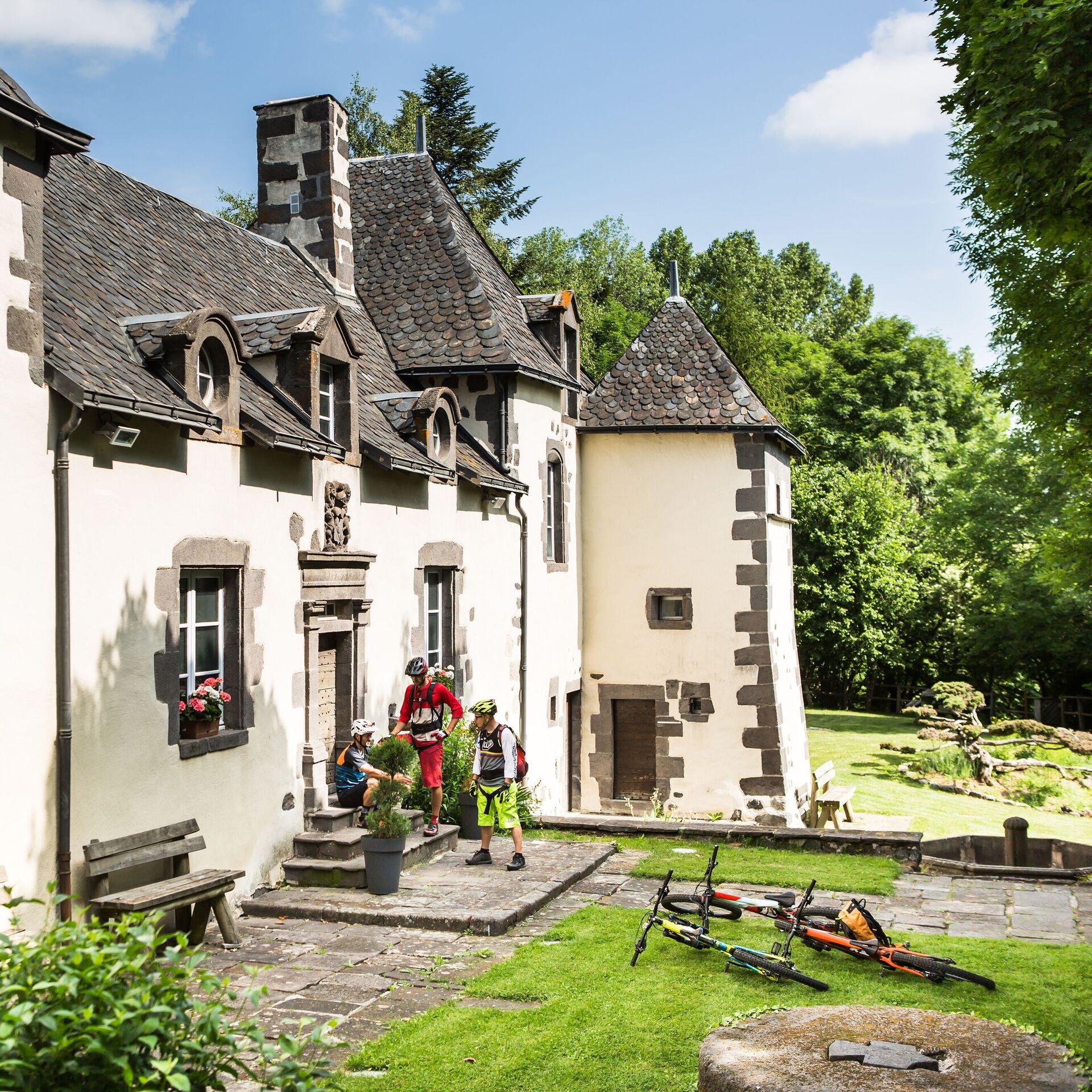
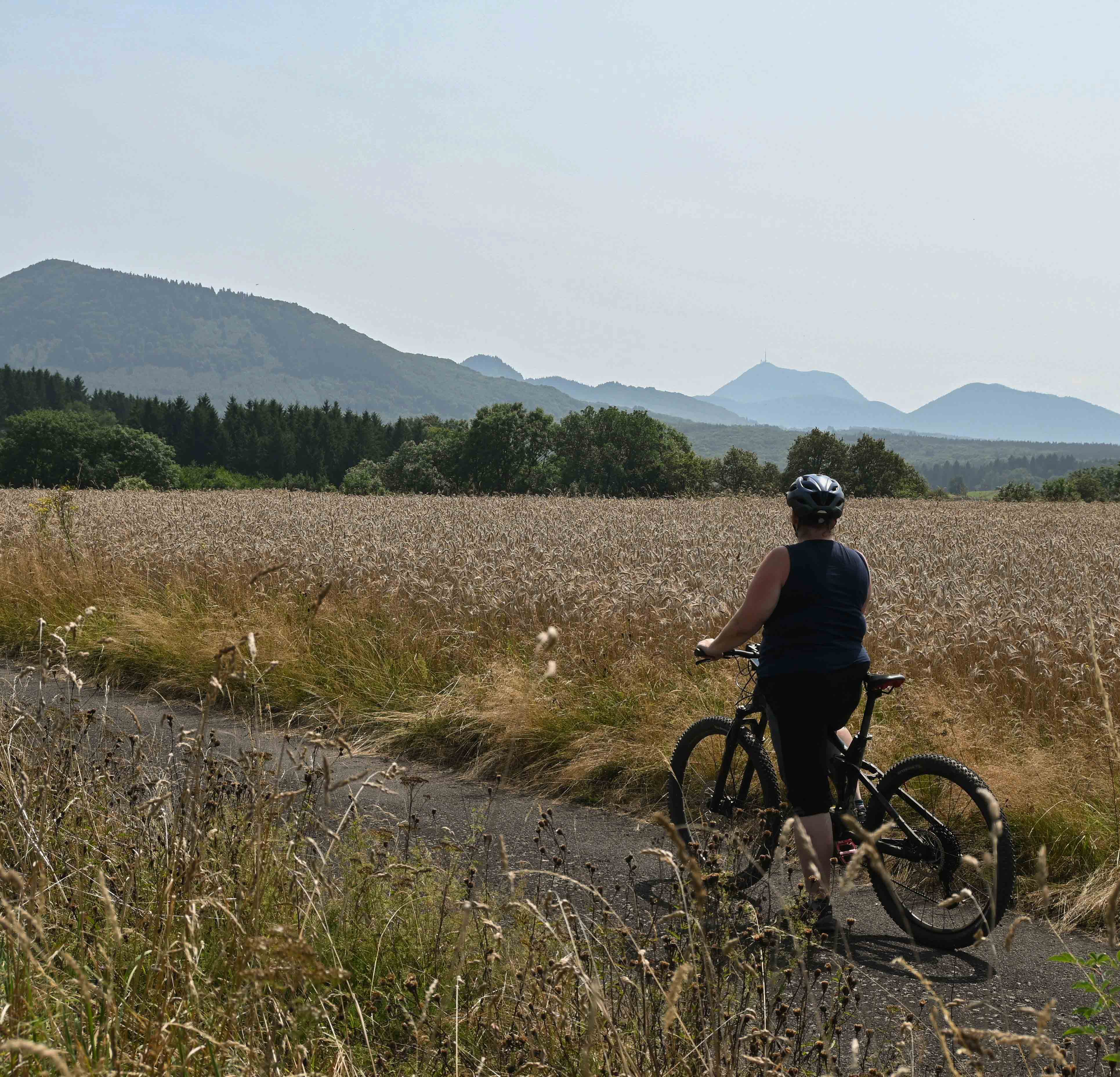
The Veygoux loop (mountain bike)
Start: Manoir de Veygoux, Charbonnières-les-Varennes
- 10.1 km
- +174 m
- 2 h
 Mountain biking
Hikes around Gorges d'Enval
Mountain bikingThe Veygoux loop (mountain bike)
Start: Manoir de Veygoux, Charbonnières-les-Varennes
- 10.1 km
- +174 m
- 2 h
Mountain biking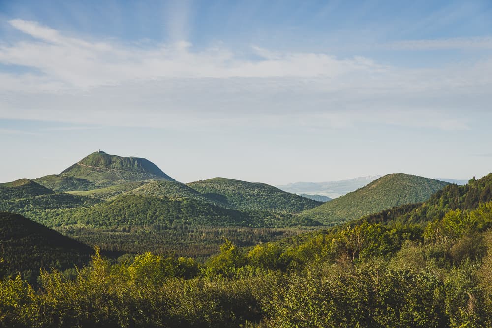 On foot
Puy de Jumes, Puy de la Coquille and Puy des Gouttes
Start: Parking de la D576 en direction de Beauregard
- 14.6 km
- +487 m
- 4 h
You might also like
More gorges in Puy-de-Dôme and nearby.

Cascade de la Besque
3.4Prades · Haute-Loire
5 reviews

Cascade du Rossignolet
4.7Le Mont-Dore · Puy-de-Dôme
342 reviews

Cascade de la Barthe
4.7Picherande · Puy-de-Dôme
196 reviews

Cascade du Creux de l'Oulette
4.2Saillant · Puy-de-Dôme
258 reviews

Cascade Sainte-Élisabeth
4.3La Tour-d'Auvergne · Puy-de-Dôme
77 reviews

La Grande Cascade
4.7Le Mont-Dore · Puy-de-Dôme
606 reviews