
Our take
The river that flows a stone's throw from Lac Pavin before heading off to the Allier. Just under fifty kilometres between the Monts Dore and Issoire, with Saurier and Saint-Floret set by the water.
The river that runs down from the Monts Dore to the Allier: just under fifty kilometres, through Besse, Saurier and Saint-Floret, a village tucked against the rock by the water.
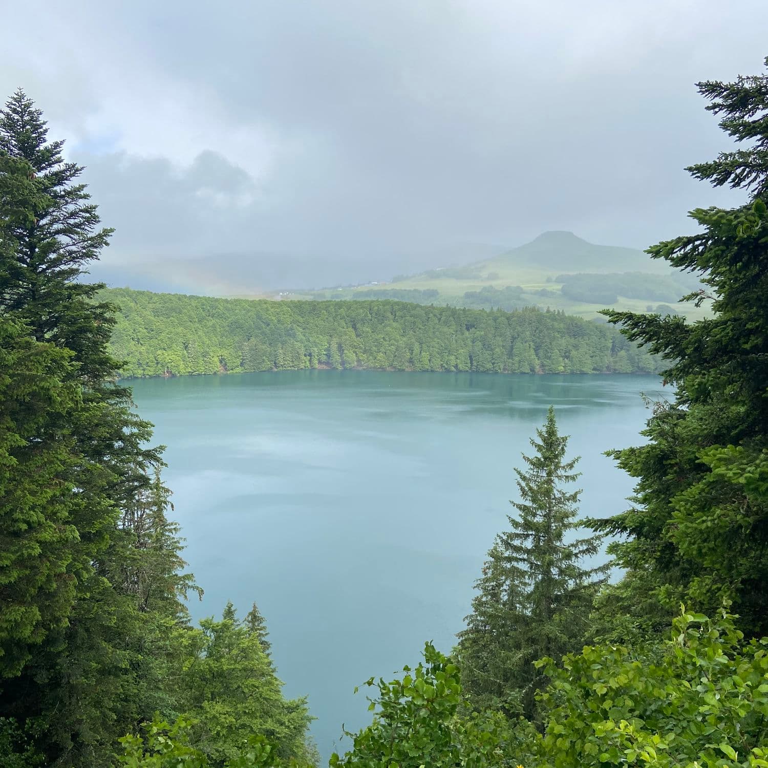
A river and tributary of the Allier, rising at 1,580 m on the slopes of the Puy de la Perdrix, in the Monts Dore. It passes below Lac Pavin, collecting its outflow, then crosses Besse-et-Saint-Anastaise, Saurier and Saint-Floret before joining the Allier near Issoire. Its course runs just under fifty kilometres. At Saurier, on the other side of the 15th-century chicane bridge, a path follows the bank to the salt springs, in about ten minutes. Further down, Saint-Floret, a small town of character, spreads over both banks, linked by the pont de la Pède and its oratory.
Why we love it
- The water that changes colour with the light, between green and cold blue
- The rocks that narrow the valley at the entrance to Saint-Floret
- Saint-Floret, tucked against the rock along the river, beneath the keep of its castle
- Saurier's 15th-century chicane bridge, with its little oratory
Top tip
At Saurier, cross the 15th-century bridge and head up the path that runs along the river: in about ten minutes, you are at the salt springs. Avoid it after a storm, the water rises fast.
Before you go
- At Saint-Floret, the Tête de Lion spring path runs along the river and climbs a little: bring good shoes
- Lac Pavin flows into the Couze: you can see both in the same day.
- Avoid it after recent heavy rain, the river rises fast and the current can take you by surprise
Weather for the next 3 days
Today
15°/5°
1 mm · 32 km/h
Tomorrow
15°/1°
dry · 5 km/h
Tue 27
22°/11°
dry · 14 km/h
Source: Open-Meteo (CC BY 4.0). General lowland forecasts, to be cross-checked with specialist mountain forecasts at altitude.
Practical info
- Address
- La Couze Pavin, France
63320 Saint-Floret
What visitors say
Google rating
Average of 74 reviews on Google Maps.
Community rating
No reader reviews yet: yours gets things started.
Your logbook
Around La Couze Pavin
2 spots in and around Saint-Floret, enough to build your day.
Where to eat close by

A place to see, a night to spend?
Hotels, gîtes and B&Bs within 20 km of Saint-Floret. Availability and online booking.
Hikes nearby
Waymarked routes within 15 km, GPX track included.
 On foot
 On foot
Hikes around La Couze Pavin
On footOn footYou might also like
More gorges in Puy-de-Dôme and nearby.

Cascade de la Besque
3.4Prades · Haute-Loire
5 reviews

Gorges de Ceyrat
4.5Ceyrat · Puy-de-Dôme
590 reviews

Gorges de la Sioule
4.6Menat · Puy-de-Dôme
156 reviews

Gorges de l'Alagnon
4.8Laveissière · Cantal
36 reviews

Gorges du Pas de Cère
4.5Thiézac · Cantal
246 reviews

Cascade d'Alleyras
4.3Alleyras · Haute-Loire
65 reviews