
Our take
Watching a 483 km river being born in a trickle of water on the flank of a volcano, 20 or 30 minutes' walk from the Sancy car park: few places in France offer that. And the Sancy ridges set the scene.
The Dordogne is born here, at 1,366 m on the north flank of the Sancy, where the Dore and the Dogne meet. An easy walk from the foot of the Puy de Sancy.
This is where it all begins. On the north flank of the Puy de Sancy, two mountain streams, the Dore and the Dogne, meet at an altitude of 1,366 m. From this junction the Dordogne is born, running on for 483 km to the Garonne.
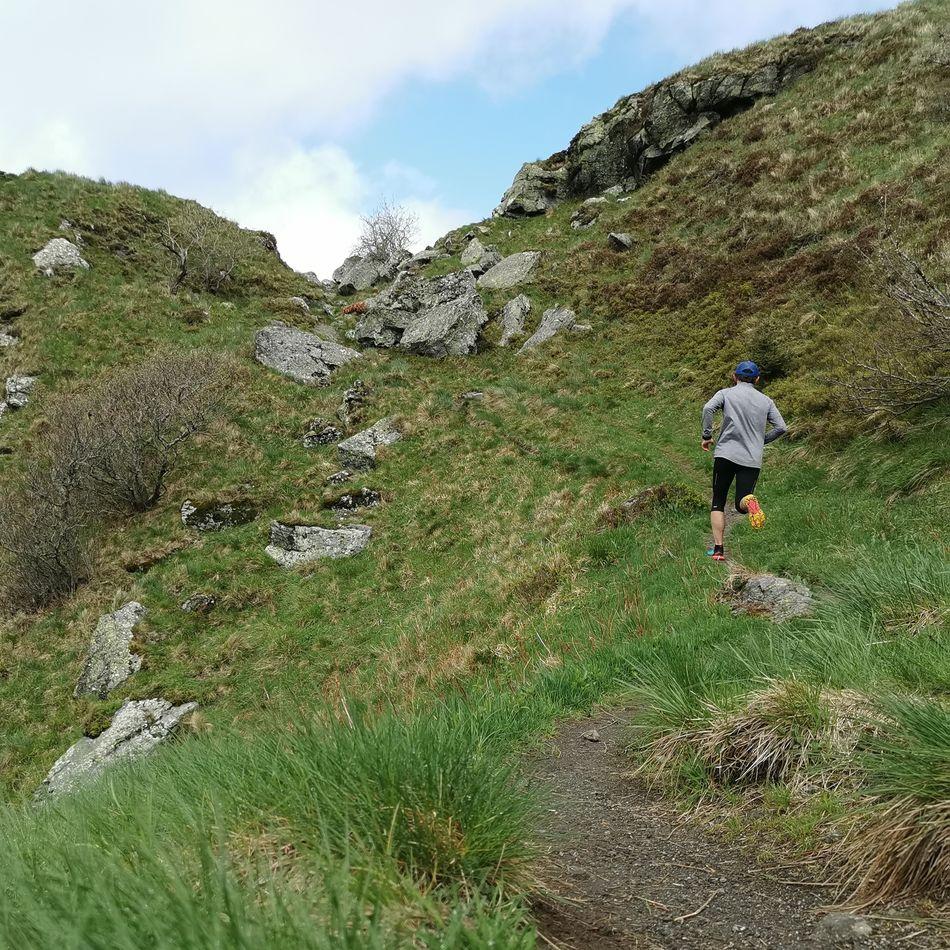
From the car park at the foot of the Sancy, at the end of the road that climbs from Le Mont-Dore, allow 20 to 30 minutes of easy walking on the GR4E, waymarked in yellow. The path climbs gently up the small valley, with the Sancy ridges as a backdrop.
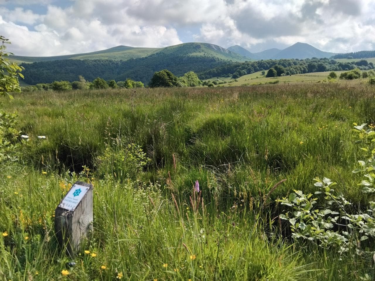
On the spot there is no monument: a trickle of clear water tumbling down the short-grass slope. A fun detail: the name Dordogne does not come from Dore plus Dogne, but from the old word Duranius, the torrent.
Why we love it
- The Dore and the Dogne meeting at 1,366 m to form a 483 km river
- No monument and no staging, just a trickle of clear water tumbling down the short grass
- The Sancy ridges as a backdrop all the way up
Top tip
Access is closed when the Le Mont-Dore ski resort is operating: save this walk for the fine-weather months. And slip an extra layer in your bag, the wind picks up quickly at this altitude.
Before you go
- Early in the morning in summer, when the light still skims the Sancy ridges and the valley is all yours.
- The car goes no further than the car park at the foot of the Sancy: the rest is on foot, on the GR4E waymarked in yellow.
- Access is closed when the Le Mont-Dore ski resort is operating: save this walk for the fine-weather months.
- At 1,366 m, the wind picks up quickly: slip an extra layer in your bag.
Weather for the next 3 days
Today
8°/1°
8 mm · 43 km/h
Tomorrow
11°/3°
dry · 15 km/h
Tue 27
15°/9°
0 mm · 28 km/h
Source: Open-Meteo (CC BY 4.0). General lowland forecasts, to be cross-checked with specialist mountain forecasts at altitude.
Practical info
- Address
- 63240 Mont-Dore, France
63240 Le Mont-Dore
What visitors say
Google rating
Average of 56 reviews on Google Maps.
Community rating
No reader reviews yet: yours gets things started.
Your logbook
Around Sources of the Dordogne
24 spots in and around Le Mont-Dore, enough to build your day.
Where to eat close by
 €€
La Table de l'Ours
4.4Le Mont-Dore · a 5-minute walk away

Le Borsalino
4.6Le Mont-Dore · 3.9 km away
 €€
Mémé Joe
4.8Besse-et-Saint-Anastaise · 4.1 km away
Where to stay nearby

Hôtel Le Castelet
4.6Le Mont-Dore · 4.4 km away
 €
Résidence Le Bois de la Reine
4.0Besse-et-Saint-Anastaise · 5.1 km away
 €€€
Cabanes des Volcans
4.4La Tour-d'Auvergne · 6.1 km away
Hikes nearby
Waymarked routes within 15 km, GPX track included.
 Trail running
 On foot
From Chastreix village to the glacial valley
Start: Parking à côté de l'église, au centre du bourg
- 18.3 km
- +535 m
- 5 h 30 min
Worth a read
Articles and guides that mention this place.
Hikes around Sources of the Dordogne
Trail runningOn footFrom Chastreix village to the glacial valley
Start: Parking à côté de l'église, au centre du bourg
- 18.3 km
- +535 m
- 5 h 30 min
 On foot
You might also like
More unusual experiences in Puy-de-Dôme and nearby.

Super-Besse winter sports resort
4.3Besse-et-Saint-Anastaise · Puy-de-Dôme
4630 reviews

Puy de l'Angle
4.9Le Mont-Dore · Puy-de-Dôme
59 reviews

Taillerie du Sancy
4.4Le Mont-Dore · Puy-de-Dôme
758 reviews

Forteresse de Polignac
4.6Polignac · Haute-Loire
3189 reviews

Puy de Sancy
4.8Le Mont-Dore · Puy-de-Dôme
2375 reviews

GR 30 Tour des Volcans et Lacs d'Auvergne
4.8La Bourboule · Puy-de-Dôme
56 reviews
Continue
Do you run Sources of the Dordogne?
Claim your page to update the details, add your photos and access our editorial feature offers.
- Free for info & photos
- Editorial feature (quote on request)
- Social media sponsorship (40 000+ Instagram and Facebook followers)