
Our take
A 15-metre fall a stone's throw from the road, mossy rocks, and a name inherited from a Roman bridge. A lot of history for a simple stop.
A stone's throw from the D47, the waterfall drops over a 15-metre granite step before breaking on big blocks, among the trees and mossy rocks.
On the D47, between La Tour-d'Auvergne and Bagnols, the waterfall first drops over a 15-metre granite step, then breaks on big blocks, among the trees and mossy rocks. All of it a few steps from the road.
A car park and a picnic area are close by. Take care when crossing the road.
The name comes from a Roman bridge: an ancient road passed here before climbing up through the meadows to the hamlet of La Gagne. Roman pottery and coins were found nearby, and are now kept in the Musée Bargoin, in Clermont-Ferrand.
Downstream of the bridge, the Gagne and the Burande meet. Beyond the confluence, a small cascade spreads its four arms among huge rocks.
Why we love it
- The 15-metre granite step, then the water breaking on the big blocks
- The moss-covered rocks all around, under the trees
- A car park and a picnic area close by
- The Roman bridge that gave the place its name, and the pottery and coins found nearby, now in the Musée Bargoin
Top tip
Have a look downstream: the Gagne and the Burande meet there, and beyond the confluence, a small cascade spreads its four arms among huge rocks.
Before you go
- In spring or after a good spell of rain, when the watercourse has a good flow.
- From La Tour-d'Auvergne, take the D47 towards Bagnols: a car park is close to the waterfall.
- Take care when crossing the road from the car park.
- Soles that grip are a better bet here: the blocks are covered in moss.
Weather for the next 3 days
Today
11°/3°
4 mm · 28 km/h
Tomorrow
13°/2°
dry · 9 km/h
Tue 27
17°/9°
1 mm · 17 km/h
Source: Open-Meteo (CC BY 4.0). General lowland forecasts, to be cross-checked with specialist mountain forecasts at altitude.
Practical info
- Address
- D47, 63680 La Tour-d'Auvergne, France
63680 La Tour-d'Auvergne - Monday24 hours
- Tuesday24 hours
- Wednesday24 hours
- Thursday24 hours
- Friday24 hours
- Saturday24 hours
- Today24 hours
Opening hours
What visitors say
Google rating
Average of 76 reviews on Google Maps.
Community rating
No reader reviews yet: yours gets things started.
Your logbook
Around Cascade du Pont-de-Pierre
6 spots in and around La Tour-d'Auvergne, enough to build your day.
Where to stay nearby
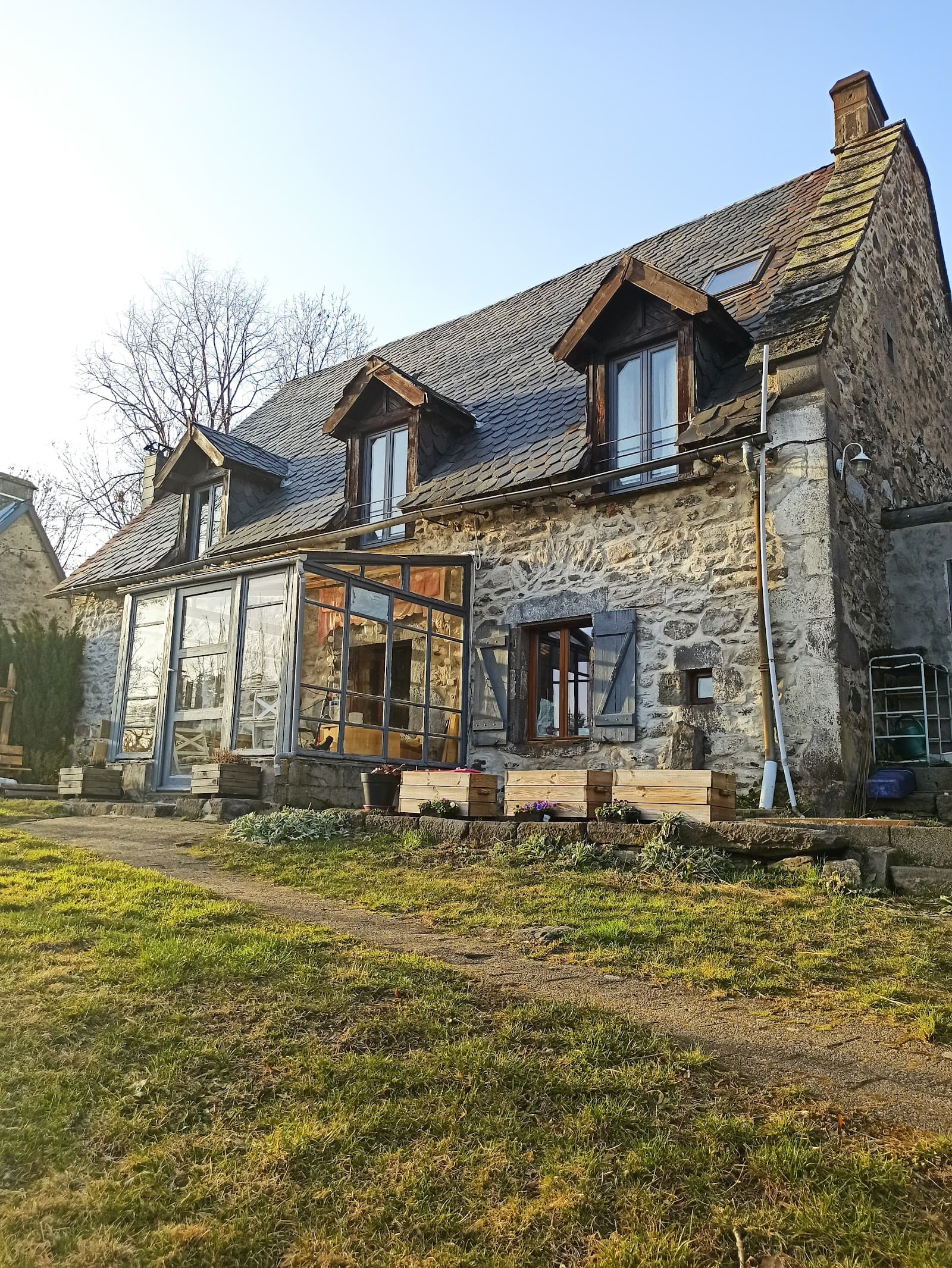
Chambre et table d'hôtes La Burande
4.9La Tour-d'Auvergne · 4.3 km away
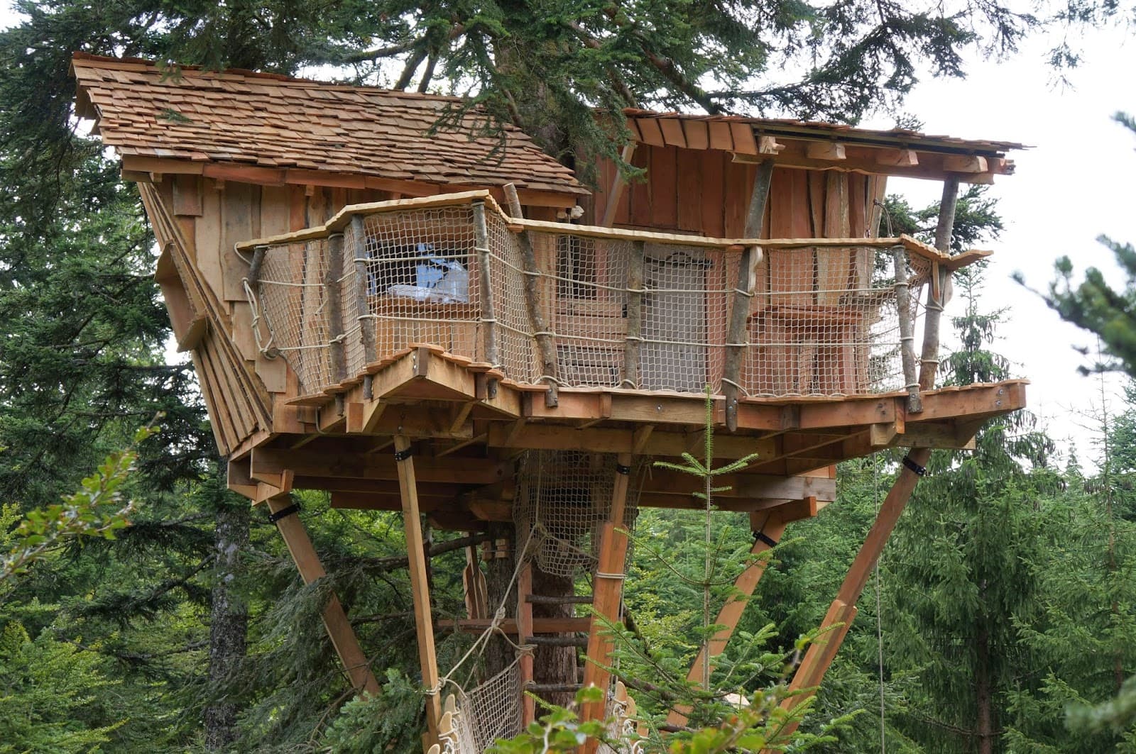 €€€
Cabanes des Volcans
4.4La Tour-d'Auvergne · 6.6 km away
Hikes nearby
Waymarked routes within 15 km, GPX track included.
 On foot
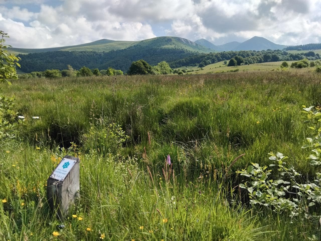 On foot
Worth a read
Articles and guides that mention this place.
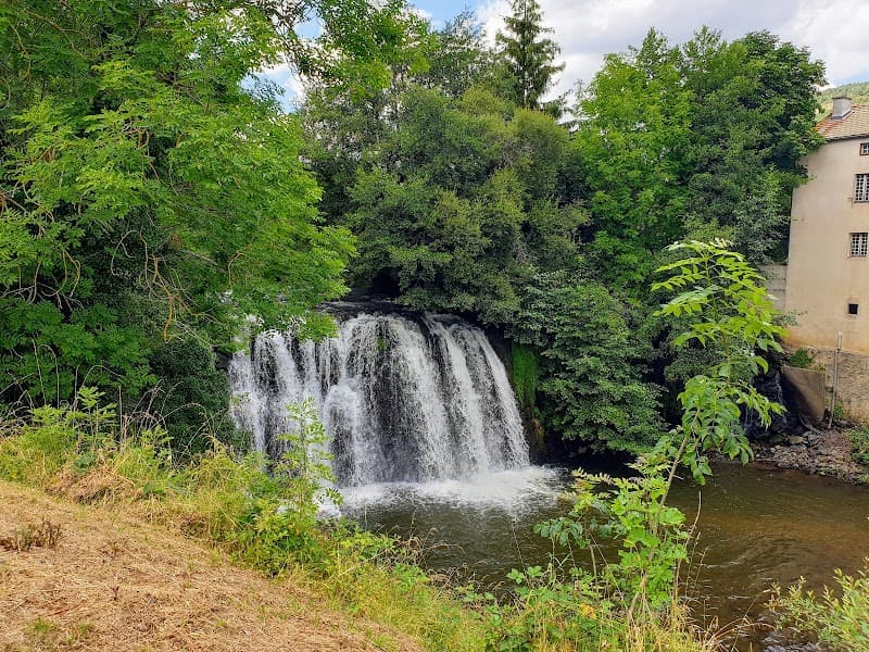
Hikes around Cascade du Pont-de-Pierre
On footOn foot On foot
From Chastreix village to the glacial valley
Start: Parking à côté de l'église, au centre du bourg
- 18.3 km
- +535 m
- 5 h 30 min
You might also like
More waterfalls in Puy-de-Dôme and nearby.
Gorges de la Monne
4.6Olloix · Puy-de-Dôme
240 reviews
Cascade de Captat
4.8Malbo · Cantal
58 reviews
Cascade du Creux de l'Oulette
4.2Saillant · Puy-de-Dôme
258 reviews
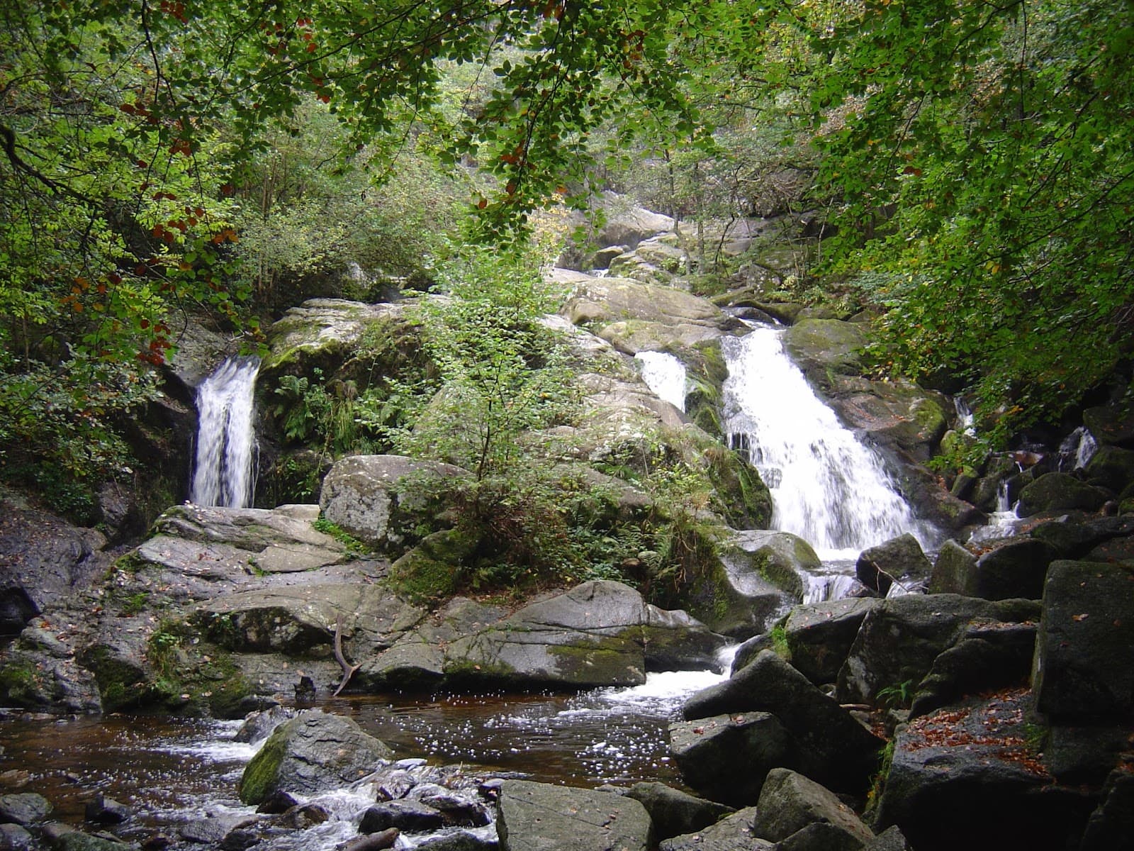
Cascade de la Pisserote
4.4Arfeuilles · Allier
295 reviews
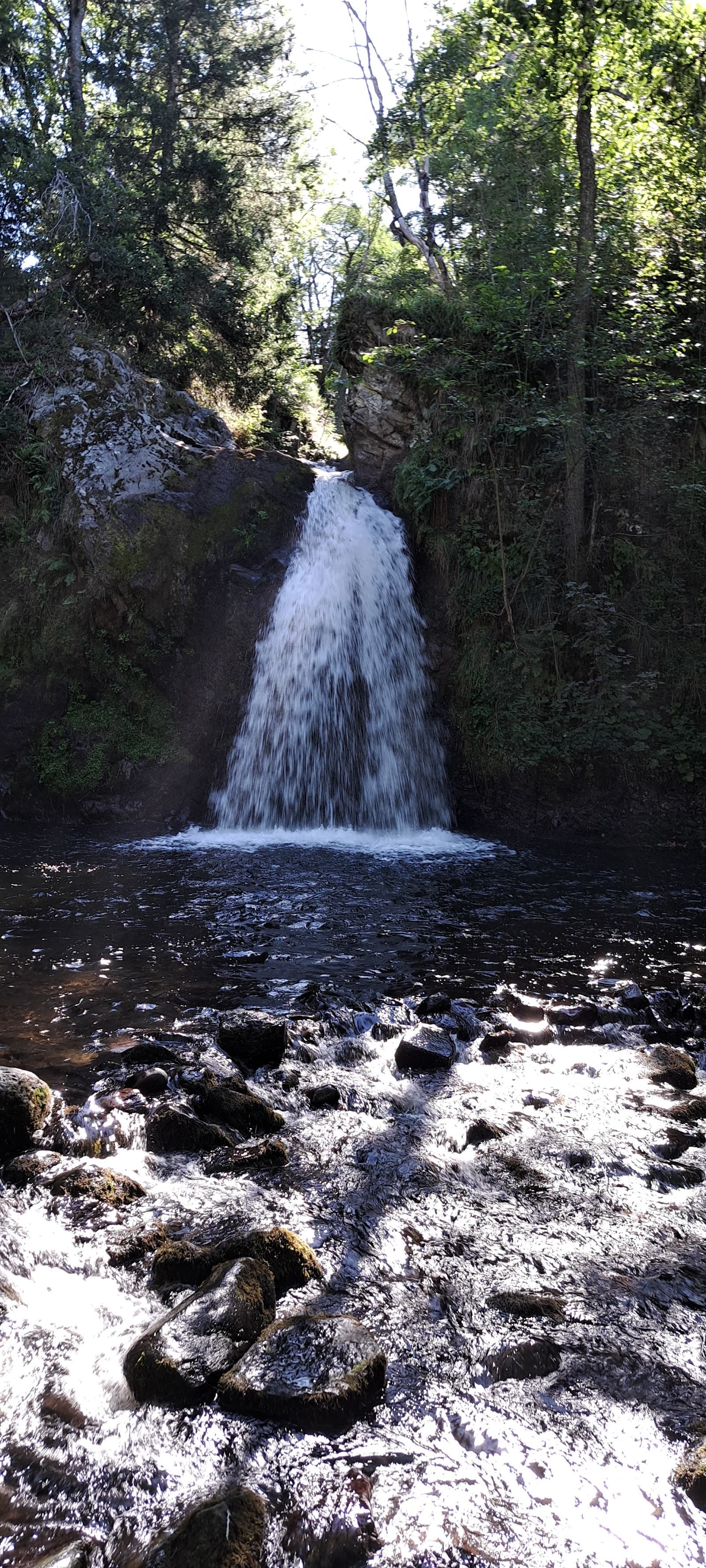
Cascade Sainte-Élisabeth
4.3La Tour-d'Auvergne · Puy-de-Dôme
77 reviews
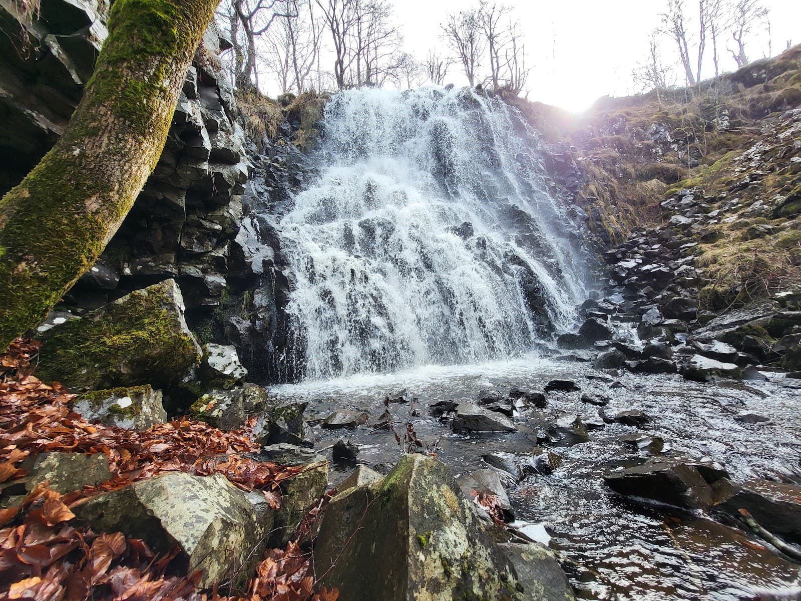
Cascade des Essarts
4.2Chastreix · Puy-de-Dôme
9 reviews