
Our take
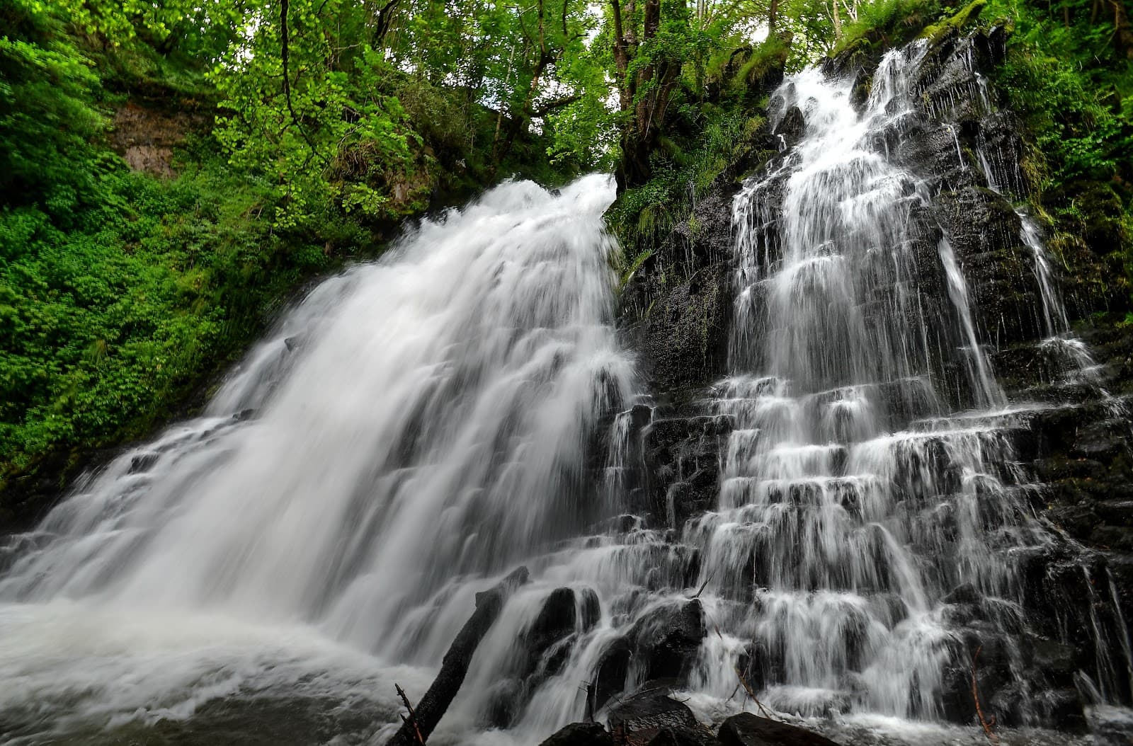
A waterfall signposted from the D204: a car park, a staircase, and you are there. The Gelles stream leaps over the rock before joining the Sioule, in a quiet area between the Combrailles and the Chaîne des Puys.
A staircase leads down the right bank of the Gelles stream, which leaps over the rock between the village and La Miouze. Twenty minutes' walk, signposted access.
The Gelles stream, also called the Say stream, comes down from the puys of Boucau and Banson before heading for the Sioule. On the way, it leaps over the rock between the village of Gelles and the hamlet of La Miouze: that's the Cascade de Say.
Access is simple: on the D204, at the place called Mont la Côte, a sign points to the waterfall and its car park. A path then a staircase take you down the right bank, facing the falls. Allow about twenty minutes there and back.
At the bottom, the water splashes over a jumble of boulders under the trees. Come after a few days of rain, the flow changes everything. And watch where you put your feet: the descent and the surroundings are slippery.
Why we love it
- The staircase that drops you right in front of the falls, on the right bank
- A jumble of boulders under the trees, at the foot of the falls
- The Gelles stream, coming down from the puys of Boucau and Banson, on its way to the Sioule
- A quiet area, between the Combrailles and the Chaîne des Puys
Top tip
Look for the sign on the D204 at Mont la Côte, the car park is right there. Bring shoes with good grip: the staircase and the area around the falls are slippery, especially after rain.
Before you go
- After a few days of rain, when the Gelles stream is flowing.
- About twenty minutes there and back from the car park, staircase included: a stop that won't break up your day.
- Shoes with good grip: the staircase and the area around the falls are slippery, especially after rain.
Weather for the next 3 days
Today
13°/5°
3 mm · 43 km/h
Tomorrow
14°/2°
dry · 18 km/h
Tue 27
18°/9°
dry · 19 km/h
Source: Open-Meteo (CC BY 4.0). General lowland forecasts, to be cross-checked with specialist mountain forecasts at altitude.
Practical info
- Address
- Cascade de Say, 63740 Gelles, France
63740 Gelles
What visitors say
Google rating
Average of 91 reviews on Google Maps.
Community rating
No reader reviews yet: yours gets things started.
Your logbook
Around Cascade de Say
Enough to build your day around this address.
Where to stay nearby
Hikes nearby
Waymarked routes within 15 km, GPX track included.
 On foot
From Pont des Eaux to Mazayes (stage 2 of the Dômes loop)
Start: Pont des Eaux
- 10.6 km
- +160 m
- 3 h 30 min
 On foot
From the marsh to the lava flow
Start: Au pied Est du Rey de St-Pierre, près du passage à niveau.
- 7.5 km
- +139 m
- 2 h
Hikes around Cascade de Say
On footFrom Pont des Eaux to Mazayes (stage 2 of the Dômes loop)
Start: Pont des Eaux
- 10.6 km
- +160 m
- 3 h 30 min
On footFrom the marsh to the lava flow
Start: Au pied Est du Rey de St-Pierre, près du passage à niveau.
- 7.5 km
- +139 m
- 2 h
 On foot
You might also like
More waterfalls in Puy-de-Dôme and nearby.
Cascade de Captat
4.8Malbo · Cantal
58 reviews
Cascade du Trou de la Conche
4.1Vic-sur-Cère · Cantal
37 reviews
Cascade de la Roche
4.7Cheylade · Cantal
59 reviews
Gorges d'Enval
4.5Enval · Puy-de-Dôme
115 reviews
Cascade du Rossignolet
4.7Le Mont-Dore · Puy-de-Dôme
342 reviews
Cascade du Creux de l'Oulette
4.2Saillant · Puy-de-Dôme
258 reviews