
Our take
A waterfall a quarter of an hour's walk from the centre of Vic-sur-Cère, with a family loop of 1.9 km waymarked in blue. The basin carved by the Iraliot is worth the detour after rain.
Fifteen minutes' walk from the church in Vic-sur-Cère, the Iraliot slides over the rock and fills a natural basin, the famous conche.
Behind the church in Vic-sur-Cère, a path climbs alongside the Iraliot, a stream that comes down from the Coyan plateau. A quarter of an hour's climb in the shade and you are in front of the waterfall: the water slides gently down the rock and fills a natural basin, the conche that gives the place its name.
From the church square, take the rue du Cap del Lioc, then the path after the little bridge. Another option: the 1.9 km loop waymarked in blue from the Maison du Tourisme (the tourist office), a quiet hour through the lanes of the old town centre.
The step is about 4 metres, and the water caresses the stone more than it falls. Aim for spring or after rain: the Iraliot is often dry in summer and autumn.
Why we love it
- Water that slides gently down the rock rather than falling
- The natural basin carved by the Iraliot, the conche that gives the place its name
- A step of about 4 metres, a quarter of an hour's walk from the centre of Vic-sur-Cère
- The climb in the shade alongside the stream, behind the church
Top tip
Keep an eye on the weather: the Iraliot is often almost dry in summer and autumn. The day after a good spell of rain, the conche fills up and the waterfall gets its flow back.
Before you go
- The start is the church square in Vic-sur-Cère: take the rue du Cap del Lioc, then the path after the little bridge.
- Allow a quarter of an hour's climb in the shade to reach the waterfall.
- Another option, the 1.9 km loop waymarked in blue from the Maison du Tourisme (the tourist office), about an hour through the lanes of the old town centre.
- Aim for spring or the day after a good rain: the Iraliot is often almost dry in summer and autumn.
Weather for the next 3 days
Today
12°/4°
7 mm · 26 km/h
Tomorrow
16°/2°
dry · 9 km/h
Tue 27
17°/10°
dry · 18 km/h
Source: Open-Meteo (CC BY 4.0). General lowland forecasts, to be cross-checked with specialist mountain forecasts at altitude.
Practical info
- Address
- Cascade du Trou de la Conche, 15800 Vic-sur-Cère, France
15800 Vic-sur-Cère
What visitors say
Google rating
Average of 37 reviews on Google Maps.
Community rating
No reader reviews yet: yours gets things started.
Your logbook
Around Cascade du Trou de la Conche
Enough to build your day around this address.
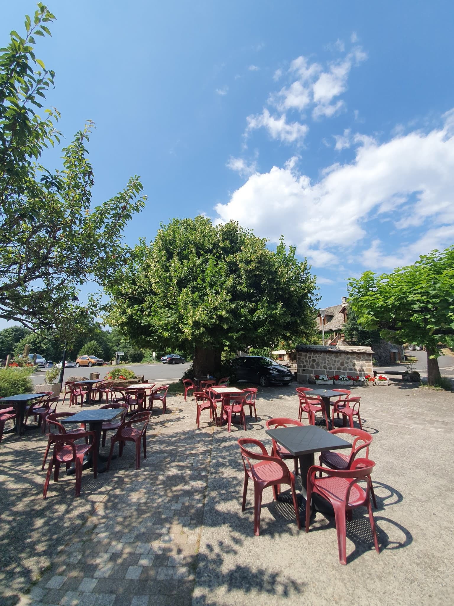
Where to eat close by
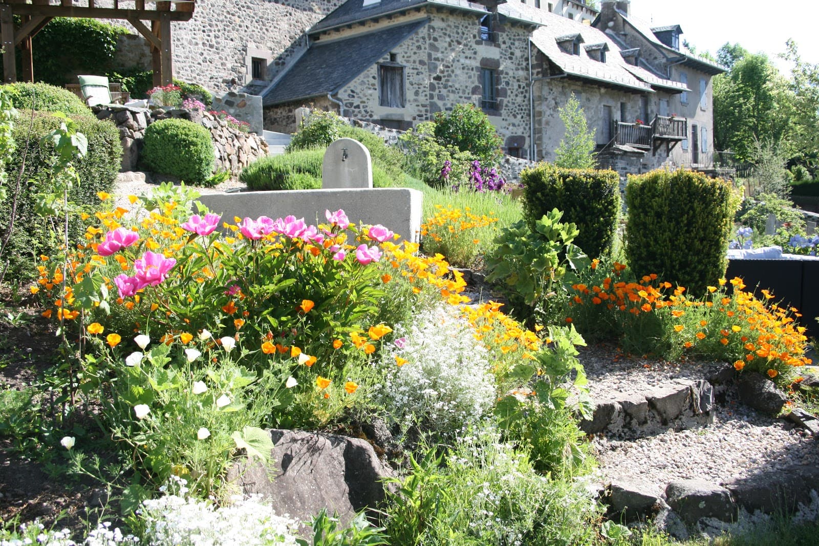
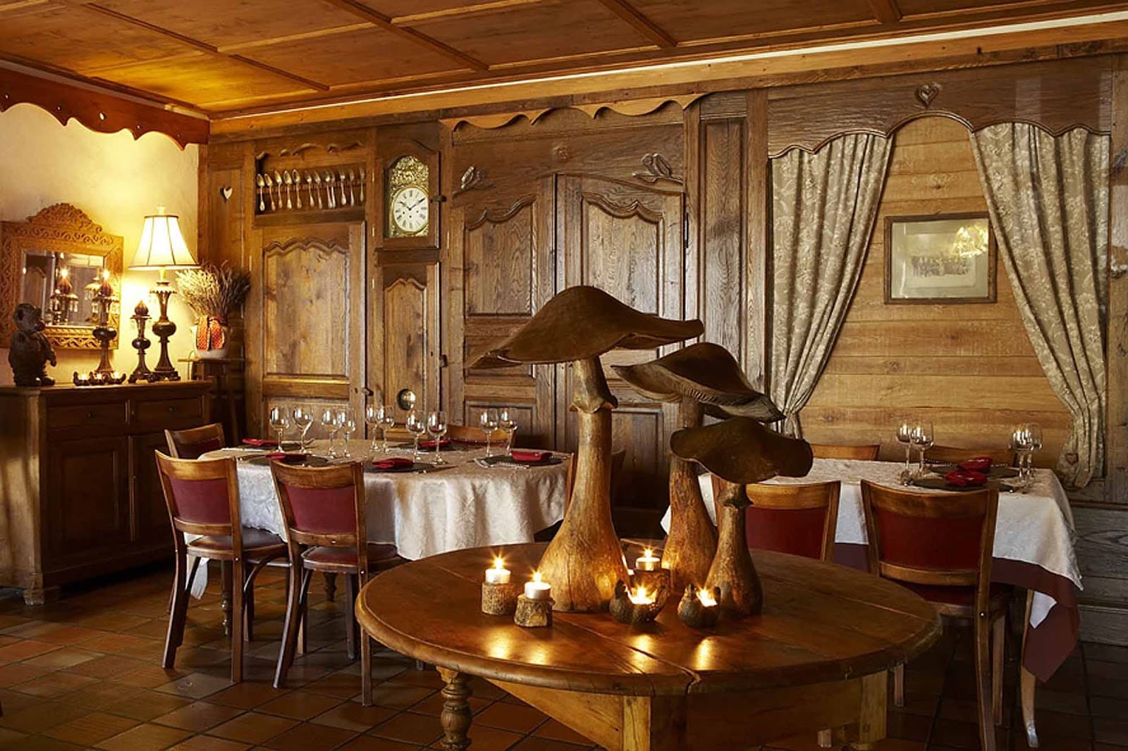
Where to stay nearby
Hikes nearby
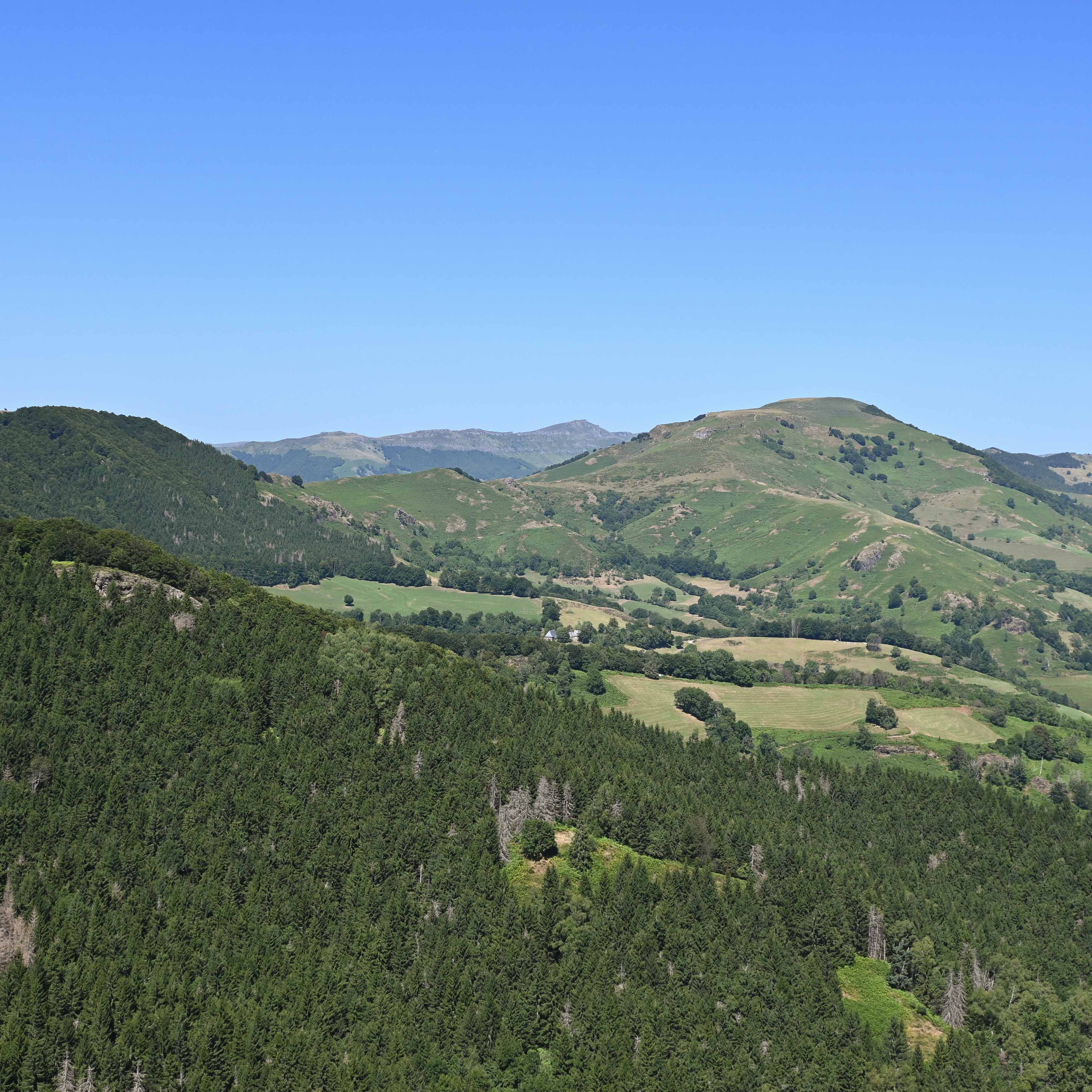
Waymarked routes within 15 km, GPX track included.
 On foot
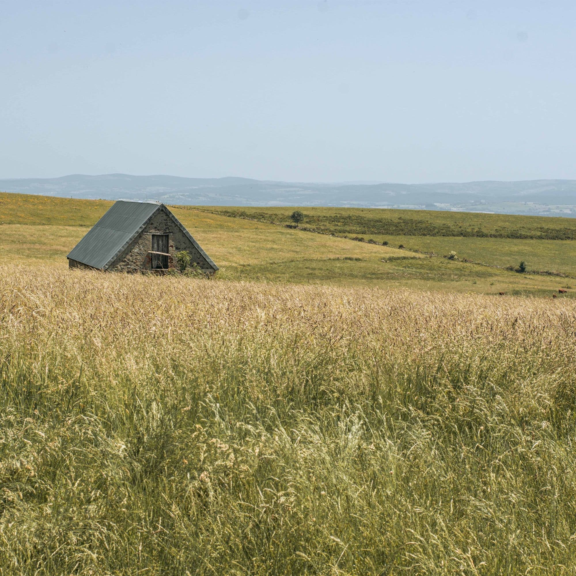 On foot
Hikes around Cascade du Trou de la Conche
On footOn foot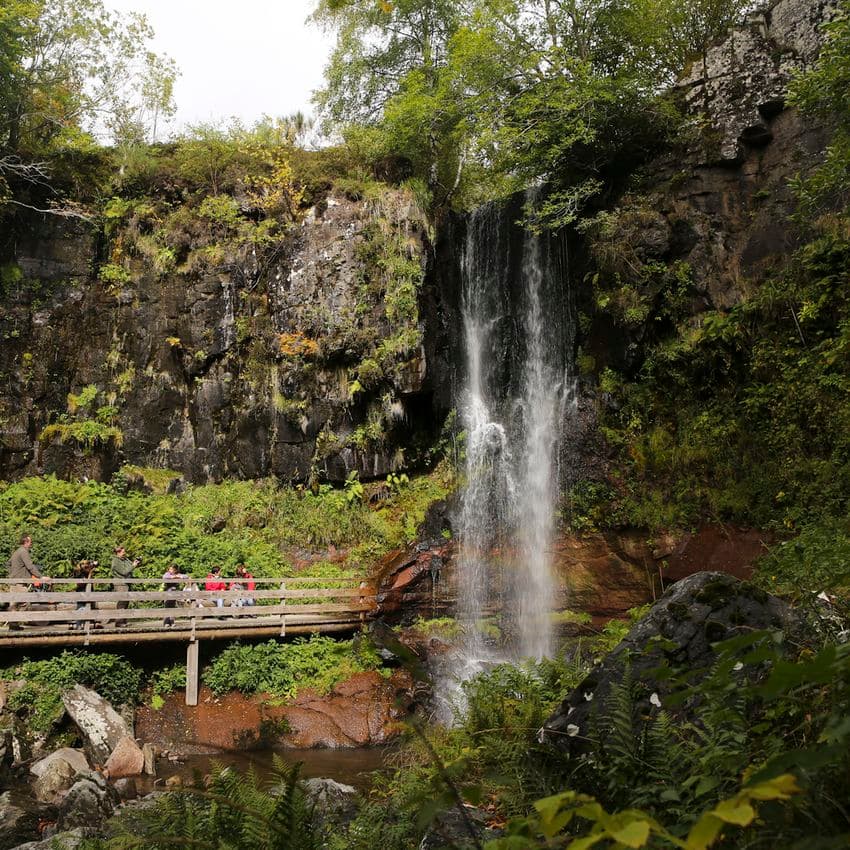 On foot
You might also like
More waterfalls in Cantal and nearby.
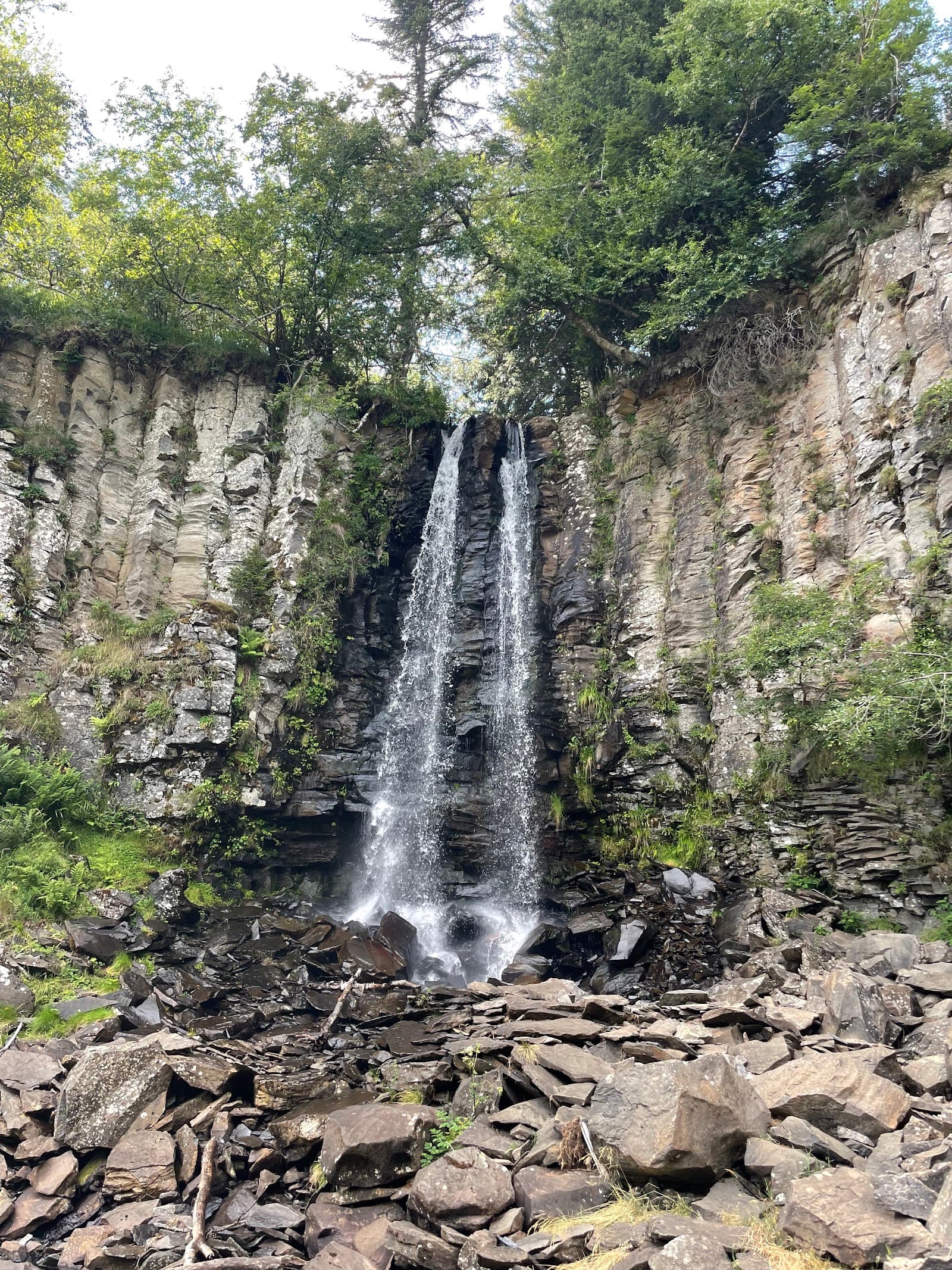
Cascade des Mortes de Guéry
4.6Perpezat · Puy-de-Dôme
358 reviews
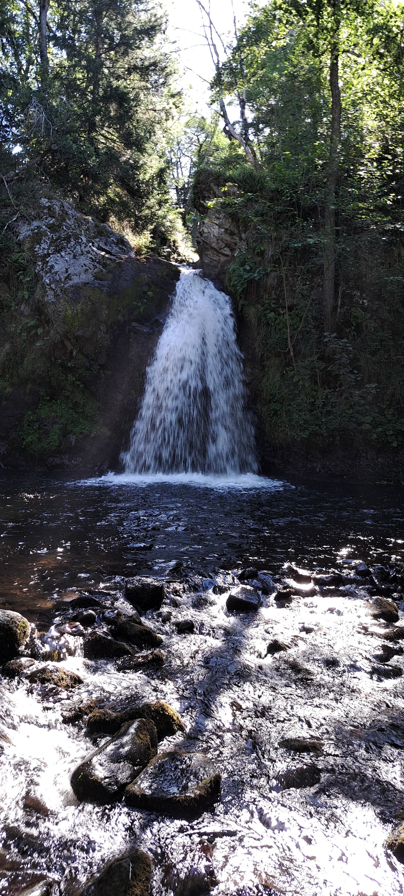
Cascade Sainte-Élisabeth
4.3La Tour-d'Auvergne · Puy-de-Dôme
77 reviews
Cascade du Rossignolet
4.7Le Mont-Dore · Puy-de-Dôme
342 reviews
Cascade de Gomot
4.8Saint-Germain-l'Herm · Puy-de-Dôme
18 reviews
Cascade de la Barthe
4.7Picherande · Puy-de-Dôme
196 reviews
Cascade de la Beaume
4.8Solignac-sur-Loire · Haute-Loire
1049 reviews