
Our take
Its crescent shape, curled against its volcano, and a puzzle that persists: dammed lake or third crater? A lake you can only reach on foot.
A crescent-shaped volcanic lake, curled up against its cone, at the end of a Cézallier path. Swimming is not allowed: it is a drinking water reserve.
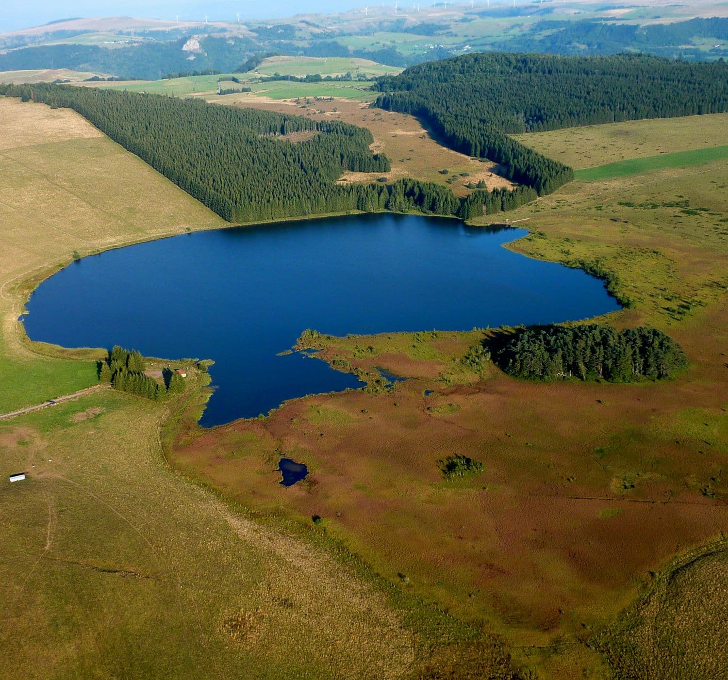
A crescent-shaped lake, tucked against its own volcano. The Puy de Montcineyre is less than 6,000 years old, and its lake keeps some mystery: for a long time, people thought the eruption had dammed the river. More recent studies see it rather as a third crater of the volcano. What is certain: a curved sheet of water of 40 hectares that hugs the cone, at an altitude of 1,182 metres, ringed by beech woods.
You can only get there on foot. On the GR4, allow 10 km there and back from the cemetery in Compains, 9 km from the Lac Pavin viewpoint. The shortest starts from the D36 coming from Besse: 1.5 km after Lac de Bourdouze, a 1.5 km track that vehicles cannot use leads to the lake. Better to warn you right away: you can't walk all the way round the lake, but a path goes round the puy, with access to the summit by an unwaymarked path.
The lake serves as a drinking water reserve, so swimming, boating and fishing are not allowed. You come to walk, breathe and look, not to dive in.
Why we love it
- A crescent-shaped lake, curled into the curve of its own volcanic cone
- The beech woods ringing the water at 1,182 m
- A lake that no road reaches: the last part of the journey is on foot
- The climb to the summit of the Puy de Montcineyre, on an unwaymarked path
Top tip
Park in Compains and take the GR4 at the cemetery: 10 km there and back. The same GR4 also links the lake to the Lac Pavin viewpoint, 9 km there and back.
Before you go
- In autumn, when the beeches around the lake turn russet.
- The lake can only be reached on foot: park in Compains and go up by the GR4.
- Swimming, boating and fishing are not allowed; the lake is a drinking water reserve.
- You can't walk all the way round the lake: a path goes round the puy, with an unwaymarked access to the summit.
- The GR4 links the lake to the Lac Pavin viewpoint: 9 km there and back.
Weather for the next 3 days
Today
9°/2°
9 mm · 37 km/h
Tomorrow
11°/2°
dry · 16 km/h
Tue 27
17°/10°
0 mm · 24 km/h
Source: Open-Meteo (CC BY 4.0). General lowland forecasts, to be cross-checked with specialist mountain forecasts at altitude.
Practical info
- Address
- Lac de Montcineyre, 63610 Compains, France
63610 Compains
What visitors say
Google rating
Average of 131 reviews on Google Maps.
Community rating
No reader reviews yet: yours gets things started.
Your logbook
Around Lac de Montcineyre
Enough to build your day around this address.
Where to eat close by
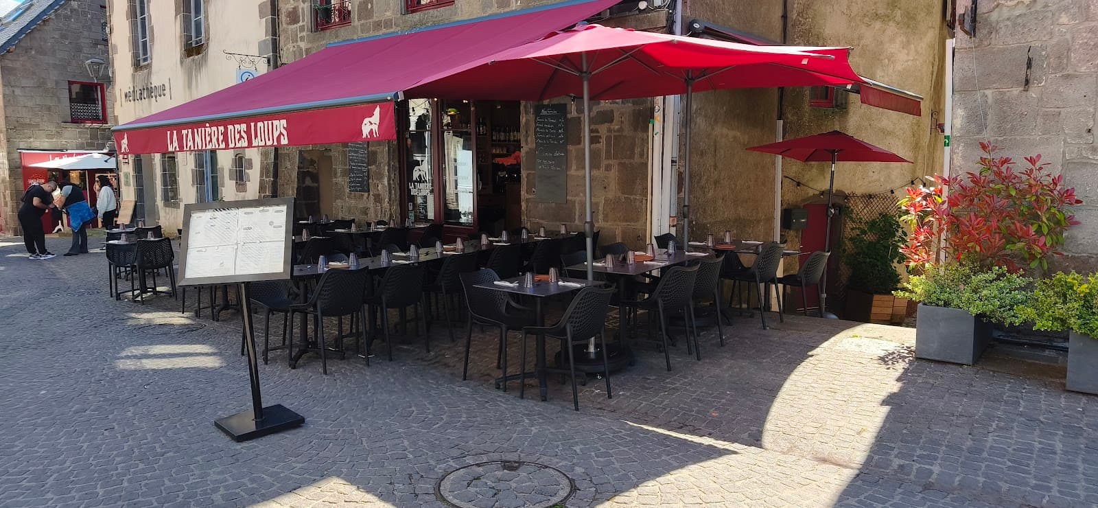 €€
La Tanière des Loups
4.8Besse-et-Saint-Anastaise · 6.5 km away
 €€
Mémé Joe
4.8Besse-et-Saint-Anastaise · 6.6 km away
Where to stay nearby
 €
Résidence Le Bois de la Reine
4.0Besse-et-Saint-Anastaise · 5.6 km away

Camping Bois de Gravière
4.2Besse-et-Saint-Anastaise · 7.3 km away
Hikes nearby
Waymarked routes within 15 km, GPX track included.
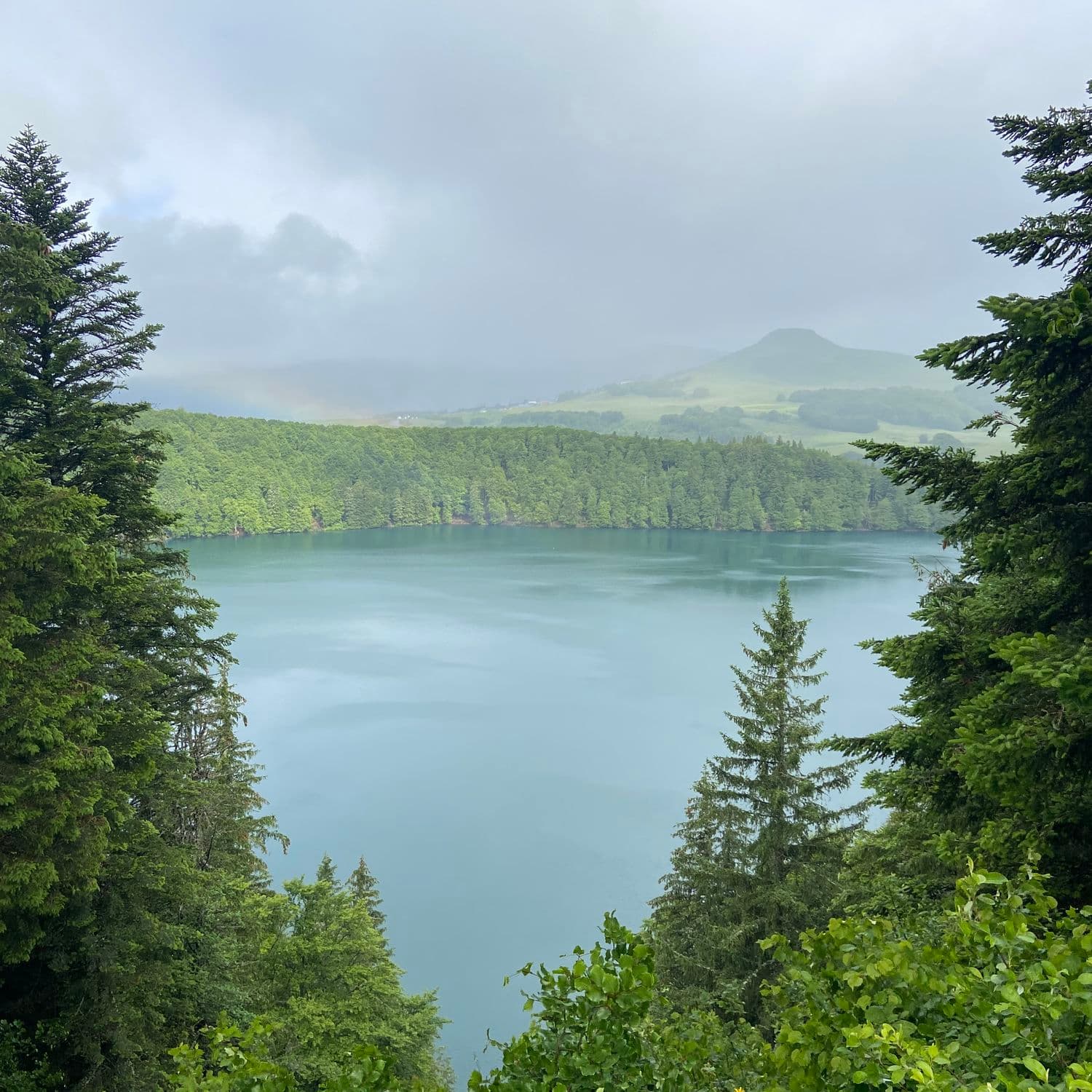 On foot
 On foot
Hikes around Lac de Montcineyre
On footOn foot On foot
You might also like
More lakes in Puy-de-Dôme and nearby.

Volcans Vacances
4.6Aydat · Puy-de-Dôme
151 reviews

Lac du Bouchet
4.7Cayres · Haute-Loire
830 reviews

Lac de Malaguet
4.1Monlet · Haute-Loire
11 reviews

Lac de la Crégut
4.5Trémouille · Cantal
30 reviews

Lac Pavin
4.8Besse-et-Saint-Anastaise · Puy-de-Dôme
2407 reviews

Puy de la Vache
4.7Saint-Genès-Champanelle · Puy-de-Dôme
340 reviews