
Our take
The highest road pass in the Sancy massif, and another gateway to its hikes.
A pass at 1,451 m on the D36, between Chambon-sur-Lac and Le Mont-Dore. Start of routes to the Puy de l'Angle and the Sancy.
A road pass at 1,451 m altitude between Chambon-sur-Lac and Le Mont-Dore, on the D36. The same hikes as the Croix-Morand (Puy de l'Angle to the north, crossing to the Sancy). View of the Sancy to the south, and of the Couze Chambon valley to the east. Parking at the pass. In winter, the road requires equipment and may be closed to traffic. Not to be confused with the Col de la Croix-Morand, 4 km away as the crow flies.
Why we love it
- The highest pass in the Sancy massif, at 1,451 m
- The panorama over the Couze Chambon valley and the Monts Dore, from the pass
Top tip
The wind is often strong, so wrap up.
Before you go
- Parking right at the pass.
- Closed-toe shoes and a warm layer: the wind often blows hard.
- By the D36, the road linking Le Mont-Dore to Besse. From Chambon-sur-Lac, a small departmental road climbs up to join it.
Weather for the next 3 days
Today
7°/1°
7 mm · 45 km/h
Tomorrow
11°/1°
dry · 16 km/h
Tue 27
15°/9°
0 mm · 30 km/h
Source: Open-Meteo (CC BY 4.0). General lowland forecasts, to be cross-checked with specialist mountain forecasts at altitude.
Practical info
- Address
- Col de la Croix Saint-Robert, 63790 Chambon-sur-Lac, France
63790 Chambon-sur-Lac
What visitors say
Google rating
Average of 159 reviews on Google Maps.
Community rating
No reader reviews yet: yours gets things started.
It's for you if
- You want a panorama from the car park, without hours of walking
- You love the end-of-day light on the summits
Give it a miss if
- You plan to come in winter: the pass road closes in the winter period
- You dislike wind: here it often blows hard
Your logbook
Around Col de la Croix Saint-Robert
12 spots in and around Chambon-sur-Lac, enough to build your day.
Where to eat close by
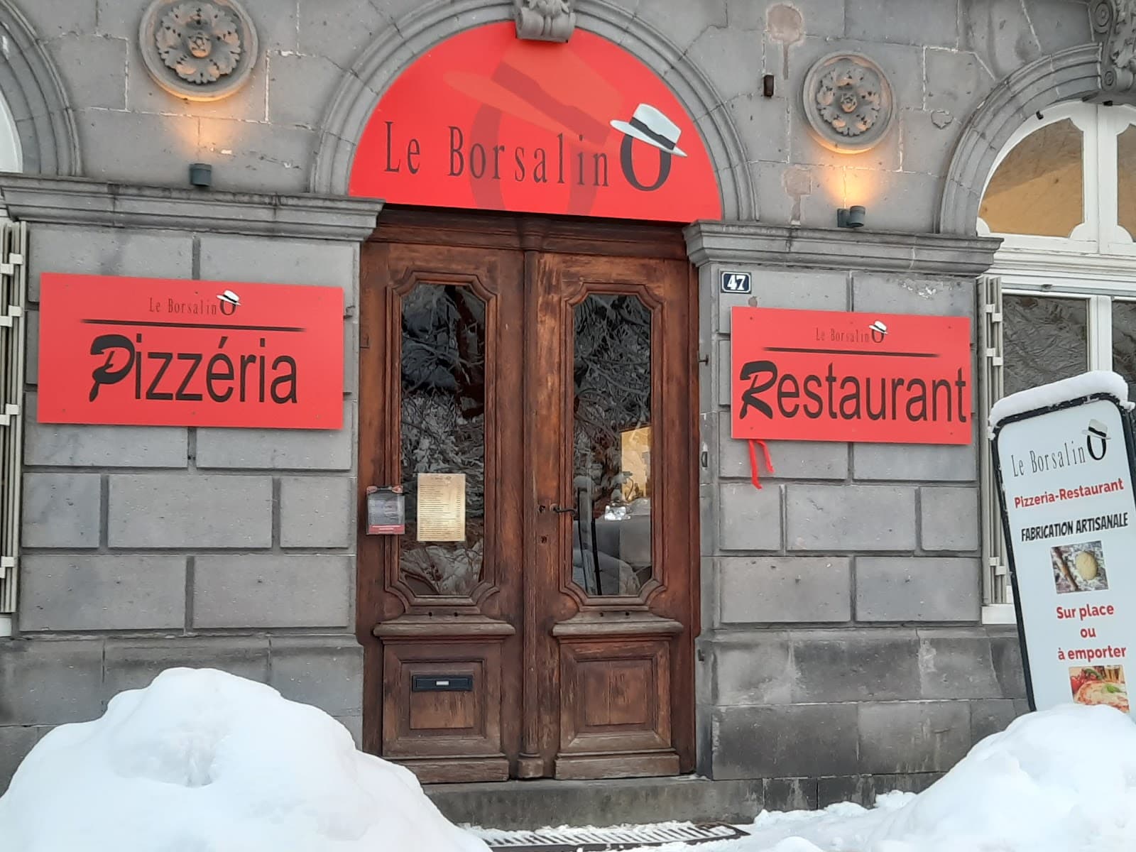
Le Borsalino
4.6Le Mont-Dore · 2.3 km away
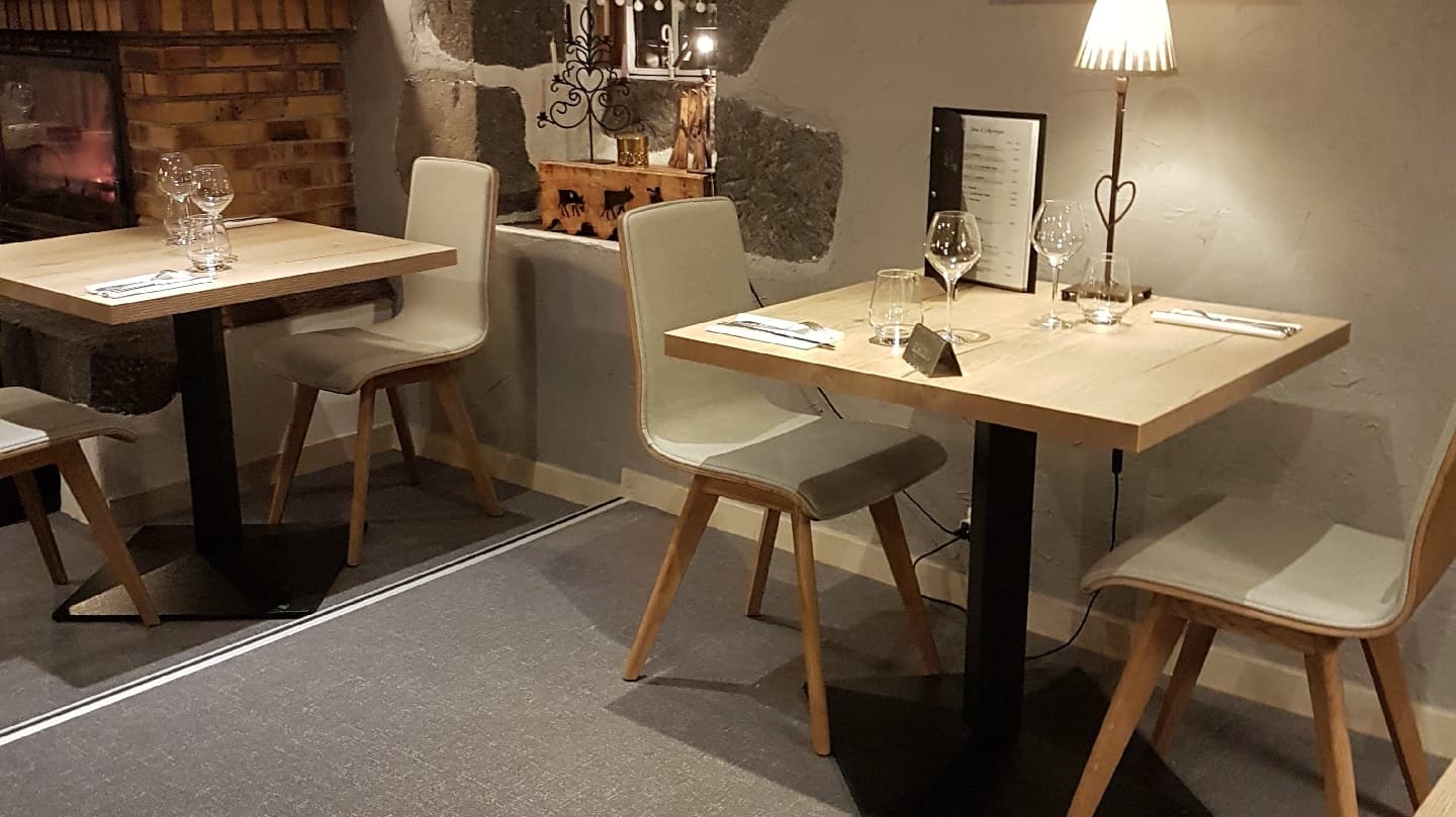
Auberge de la Golmotte
4.7Le Mont-Dore · 2.6 km away
 €€
La Table de l'Ours
4.4Le Mont-Dore · 2.7 km away
Where to stay nearby

Hôtel Le Castelet
4.6Le Mont-Dore · 2.6 km away

Gîte de la Tâche
4.7Le Mont-Dore · 3.9 km away

Les Chalets du Sancy
4.5Chambon-sur-Lac · 3.9 km away
Hikes nearby
Waymarked routes within 15 km, GPX track included.
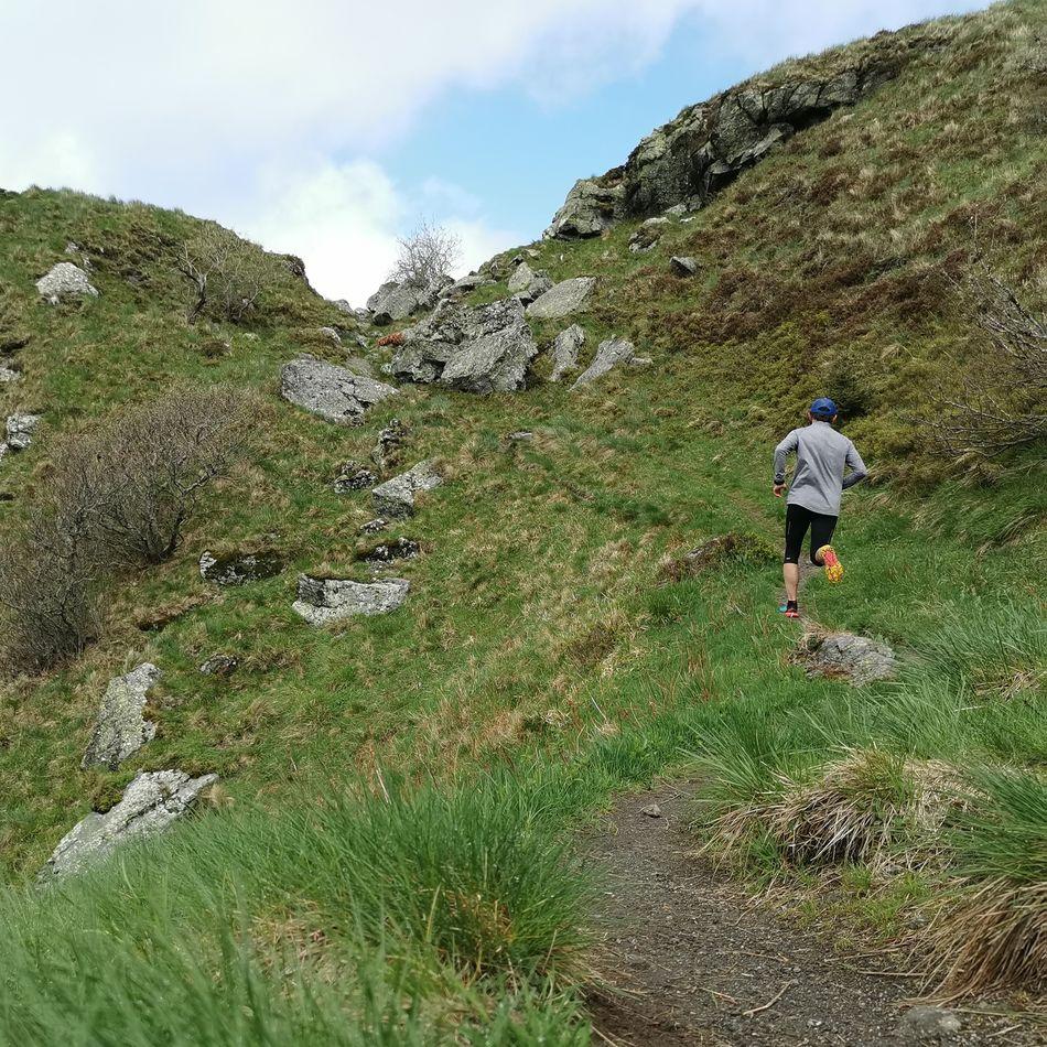 Trail running
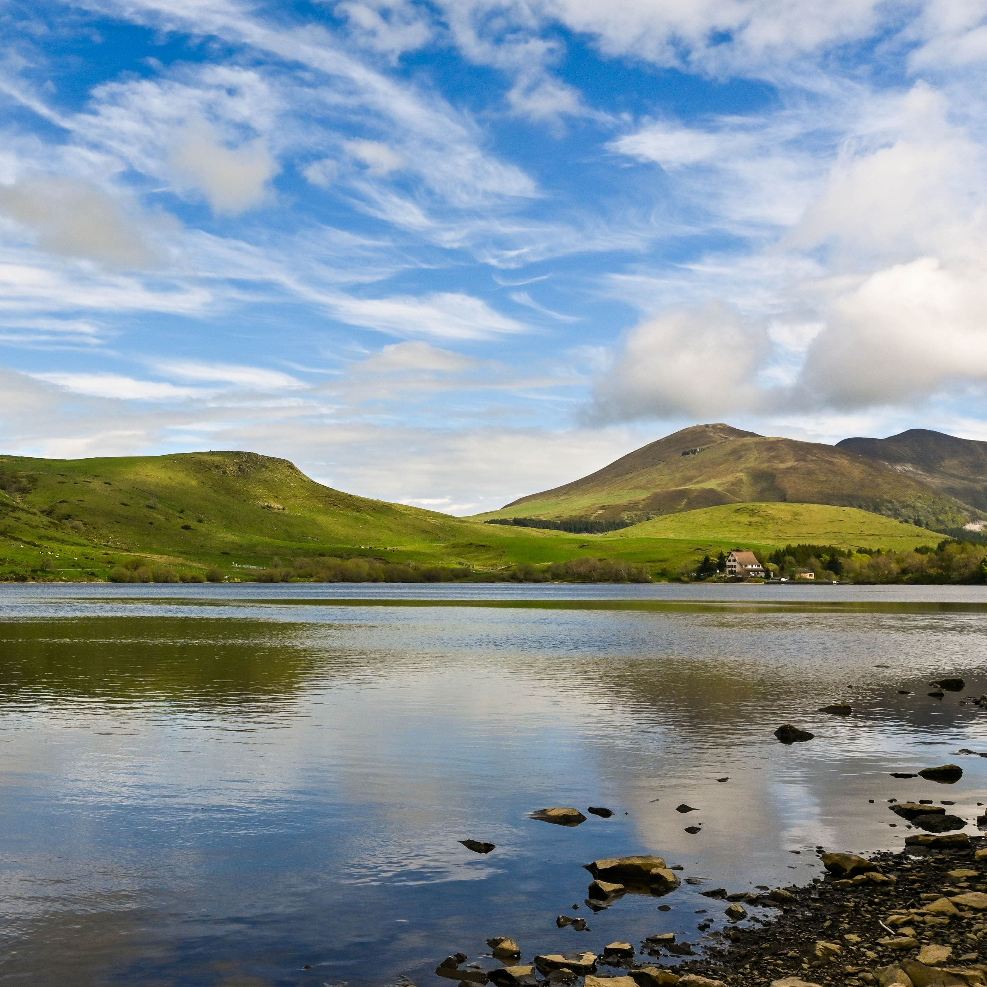 On foot
Plateau du Guéry via the Puy Loup
Start: Centre Montagnard Cap Guéry, Col de Guéry, 63210 Orcival
- 13.2 km
- +530 m
- 4 h 30 min
Hikes around Col de la Croix Saint-Robert
Trail runningOn footPlateau du Guéry via the Puy Loup
Start: Centre Montagnard Cap Guéry, Col de Guéry, 63210 Orcival
- 13.2 km
- +530 m
- 4 h 30 min
 On foot
Banne d'Ordanche
Start: Au panneau de randonnée, au bout du parking le long de la route
- 8.5 km
- +488 m
- 3 h
You might also like
More hikes in Puy-de-Dôme and nearby.

Réserve naturelle nationale de la vallée de Chaudefour
4.7Chambon-sur-Lac · Puy-de-Dôme
2146 reviews

Dent de la Rancune
4.7Chambon-sur-Lac · Puy-de-Dôme
15 reviews

Le Devès
5.0Saint-Jean-Lachalm · Haute-Loire
3 reviews

Puy de la Tache
4.7Le Mont-Dore · Puy-de-Dôme
46 reviews

Lac Chambon
4.6Chambon-sur-Lac · Puy-de-Dôme
2035 reviews

Col de la Croix-Morand
4.8Chambon-sur-Lac · Puy-de-Dôme
253 reviews
Continue
Do you run Col de la Croix Saint-Robert?
Claim your page to update the details, add your photos and access our editorial feature offers.
- Free for info & photos
- Editorial feature (quote on request)
- Social media sponsorship (40 000+ Instagram and Facebook followers)