
Our take
A suc of over 1,380 m that you earn in a 1 hour 30 loop, with a steep finish on phonolite. At the summit, the panorama stretches from the Mézenc to the Alps in fine weather.
A phonolite suc (volcanic peak) of the Velay rising above 1,380 m. A waymarked loop of 1 hour 30 from Araules, an orientation table at the summit and the Mézenc opposite.
A volcanic suc (peak) of the Velay rising above 1,380 m altitude, in the commune of Araules. A cone of phonolite, that grey rock that rings when struck and splits into sheets, once used as lauzes (stone slabs) for roofs. The classic climb follows the Bonas path (PR639), a waymarked loop of 5.2 km starting from the Bonas car park in Araules: 188 m of elevation gain, allow 1 hour 30 minutes in all, with a steep finish on narrow paths of phonolite blocks, slippery in wet weather. At the summit, an orientation table engraved on a phonolite lauze helps you read the 360° panorama: the Mézenc, the Meygal, the sucs of the Yssingelais, the Boutières, the Pilat and, in fine weather, the Alps. Open access.
Why we love it
- The panorama that suddenly opens up over the Mézenc and the Meygal at the summit
- The cone-shaped silhouette of the suc, recognisable from afar in the Velay landscape
- Phonolite, that grey rock that rings when struck and splits into sheets, increasingly present towards the summit
- The feeling of being at the end of the world, with an unobstructed 360°
Top tip
The start is at the Bonas car park in Araules, which has a play area for children. The Mézenc is just under half an hour's drive away: the two combine well in a day. Bring a windproof jacket, the summit is open on all sides (360°). At sunset, the light on the sucs is worth the climb.
Before you go
- Hiking shoes compulsory: the slope becomes really steep and the ground stony towards the top
- Aim for a clear day: in fine weather, the view carries as far as the Alps
- The Bonas car park in Araules is the start of the Bonas path (PR639), the waymarked loop that goes via the summit
Weather for the next 3 days
Today
9°/2°
1 mm · 28 km/h
Tomorrow
12°/1°
dry · 12 km/h
Tue 27
17°/8°
dry · 13 km/h
Source: Open-Meteo (CC BY 4.0). General lowland forecasts, to be cross-checked with specialist mountain forecasts at altitude.
Practical info
- Address
- Araules, Saint-Jeures, Le, 43200 Mazet-Saint-Voy, France
43200 Araules
What visitors say
Google rating
Average of 50 reviews on Google Maps.
Community rating
No reader reviews yet: yours gets things started.
Your logbook
Around Pic du Lizieux
Enough to build your day around this address.
A place to see, a night to spend?
Hotels, gîtes and B&Bs within 20 km of Araules. Availability and online booking.
Worth seeing nearby

Lac Bleu de Champclause
4.5Champclause · 4.3 km away

Cascade du Crouzet
4.3Mazet-Saint-Voy · 6.6 km away
Hikes nearby
Waymarked routes within 15 km, GPX track included.
 Cycling
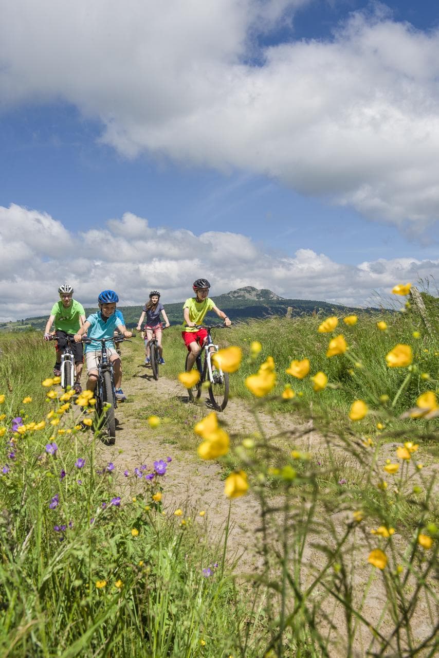 Mountain biking
Hikes around Pic du Lizieux
CyclingMountain biking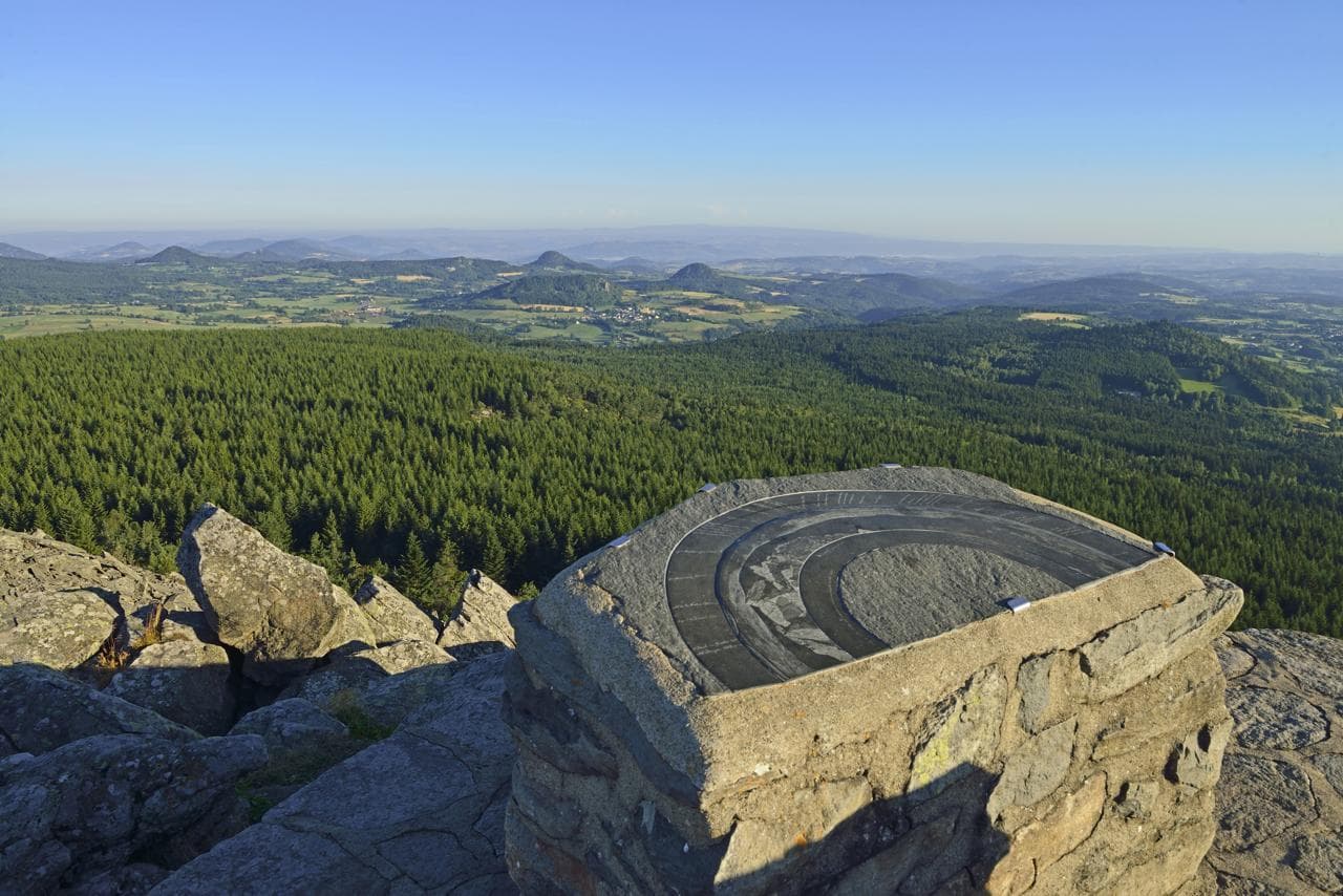 Mountain biking
You might also like
More viewpoints in Haute-Loire and nearby.

Les Chalets du Mézenc
4.6Les Estables · Haute-Loire
210 reviews

Gîte La Redonde
4.9Saint-Front · Haute-Loire
68 reviews

Le Bouchet-Saint-Nicolas municipal campsite
4.4Le Bouchet-Saint-Nicolas · Haute-Loire
198 reviews

La Maison de la Monne
4.4Olloix · Puy-de-Dôme
197 reviews

Hôtel Novotel Clermont-Ferrand
4.3Clermont-Ferrand · Puy-de-Dôme
2304 reviews

La Belle Meunière
4.5Royat · Puy-de-Dôme
361 reviews