
Our take
A former phonolite quarry: in 1910, digging away, lauzerons uncovered a spring, and the water reclaimed the place after the quarry was abandoned. The result is turquoise water over a bed of lauzes, five minutes' walk from the Balayes car park.
A former lauze (stone slab) quarry turned turquoise lake at an altitude of 1,265 m, in the Meygal. Five minutes' walk and the water changes before your eyes.
A small turquoise lake at an altitude of 1,265 metres in the Meygal massif. It is not a crater lake: it's a former lauze (stone slab) quarry. In 1910, the lauzerons (the lauze quarrymen) hit a spring while digging. Once the quarry had closed, the water took over everything.
You park at the shaded Balayes car park, on the D15, and five minutes' walk is enough. The lauzes lining the bottom turn the water from turquoise to emerald depending on the light.
You come here to look, not to swim: swimming, fishing and picnics are not allowed, to protect the site. Fancy a walk? The PR 475 loop starts from Balayes and runs for about 8 km through woods and hamlets.
Why we love it
- Water that shifts from turquoise to emerald depending on the light
- A spring the lauzerons tapped into in 1910, which flooded the quarry after it was abandoned
- At an altitude of 1,265 metres, right in the Meygal massif
- Five minutes' walk from the car park, and that's all
Top tip
Seen from above, the lake forms a heart. Look out too for the trench dug by the lauzerons to divert the spring: still visible, it was used to bring the lauzes up on small wagons pulled by a winch.
Before you go
- In full sun, when the turquoise is at its most vivid.
- Dogs must be kept on a lead on the site.
- Park at the Balayes car park, on the D15: the lake is less than 5 minutes on foot
- Swimming, fishing and picnics not allowed: you look, you take photos, you leave
- The PR 475 loop is about 8 km from Balayes, allow 2 hours' walking for 158 m of elevation gain
Weather for the next 3 days
Today
10°/2°
1 mm · 29 km/h
Tomorrow
13°/1°
dry · 14 km/h
Tue 27
17°/8°
dry · 15 km/h
Source: Open-Meteo (CC BY 4.0). General lowland forecasts, to be cross-checked with specialist mountain forecasts at altitude.
Practical info
- Address
- Le Lac Bleu, 43430 Champclause, France
43260 Champclause
What visitors say
Google rating
Average of 501 reviews on Google Maps.
Community rating
No reader reviews yet: yours gets things started.
Your logbook
Around Lac Bleu de Champclause
Enough to build your day around this address.
Where to stay nearby

Hikes nearby
Waymarked routes within 15 km, GPX track included.
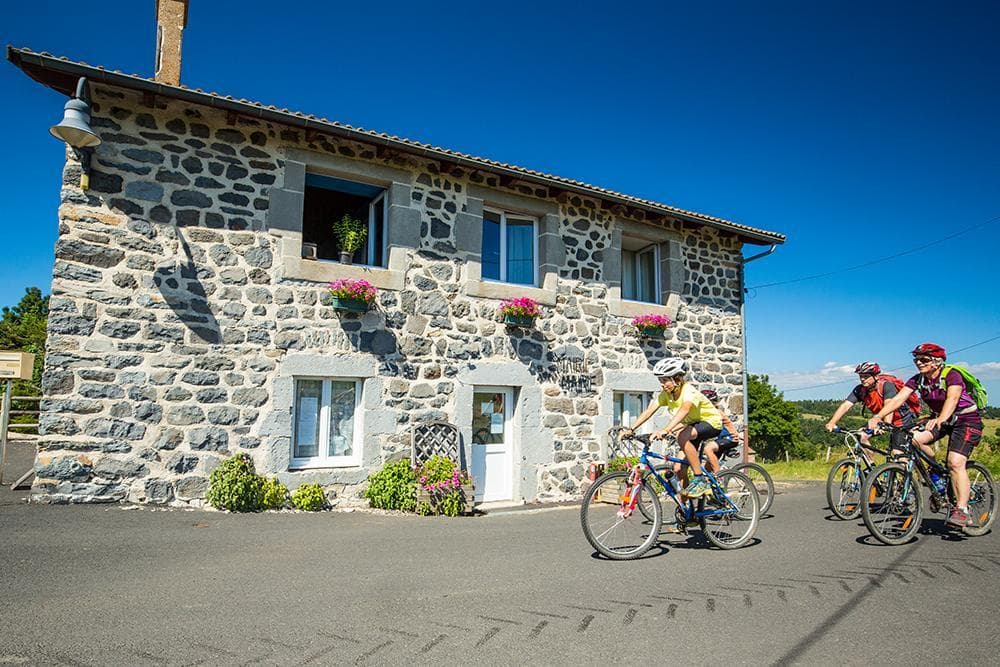 Cycling
25 - Getaway between sucs and plateaux
Start: Office de tourisme de Saint-Julien-Chapteuil
- 67.7 km
- +1692 m
- 3 h
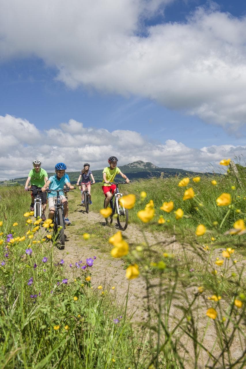 Mountain biking
Hikes around Lac Bleu de Champclause
Cycling25 - Getaway between sucs and plateaux
Start: Office de tourisme de Saint-Julien-Chapteuil
- 67.7 km
- +1692 m
- 3 h
Mountain biking Cycling
You might also like
More lakes in Haute-Loire and nearby.

Lac de Montcineyre
4.4Compains · Puy-de-Dôme
131 reviews

Lac de Saint-Front
4.3Saint-Front · Haute-Loire
245 reviews

Gorges de Courgoul
4.0Valbeleix · Puy-de-Dôme
45 reviews

Lac de la Cassière
4.3Aydat · Puy-de-Dôme
165 reviews

Lac Chauvet
4.0Picherande · Puy-de-Dôme
277 reviews

Les Chalets du Sancy
4.5Chambon-sur-Lac · Puy-de-Dôme
70 reviews