
Our take
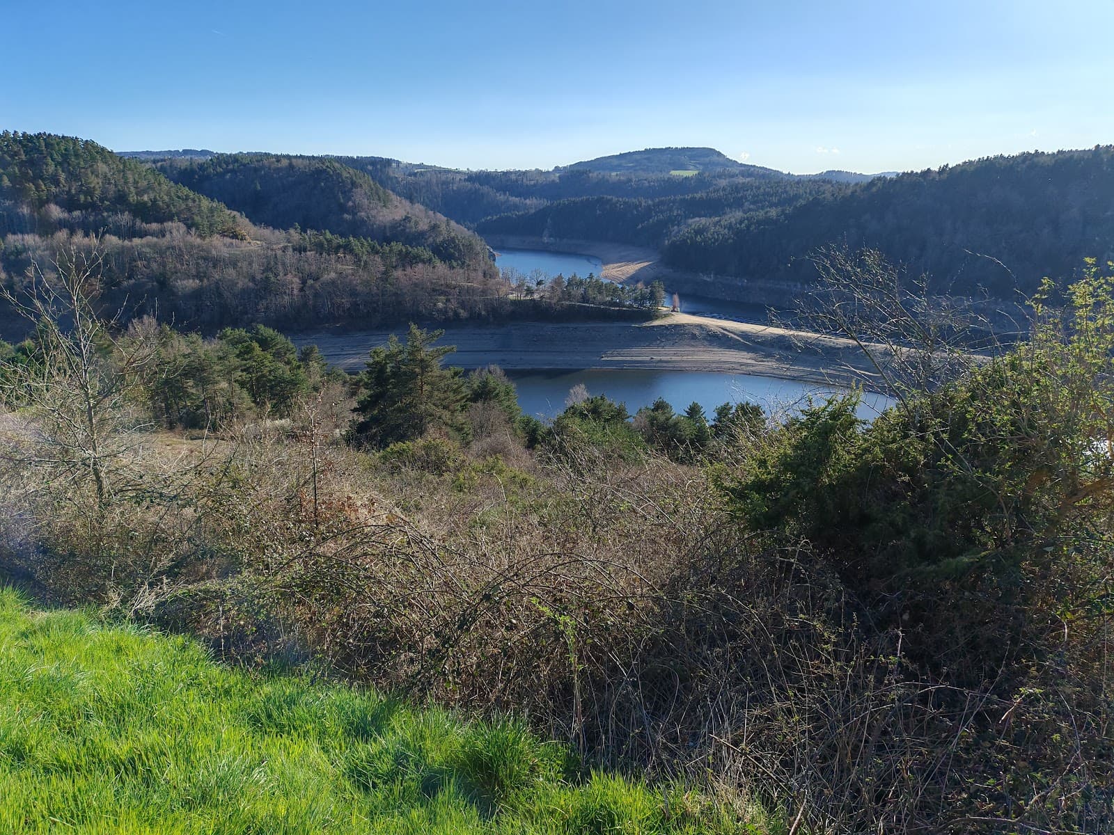
The Alagnon gorges, in the commune where the river rises, to explore on a path laid out by volunteers. Wild trout, quiet paths, a damp-forest atmosphere.
The Alagnon gorges trail, in Laveissière: a path laid out by volunteers, six footbridges and a trout river where the otter lives.
On the uppermost reaches of the Alagnon, in the commune of Laveissière, a path laid out by volunteers winds through the gorges thanks to six footbridges. Along the way, sculptures and picnic tables for families.
The Alagnon rises on the heights of the commune, at Font d'Alagnon, at 1,600 m altitude, then runs 85 km to the Allier, in Haute-Loire. The river is a Natura 2000 site: this is home to the brown trout and the bullhead, and to two rare species, the otter and the white-clawed crayfish.
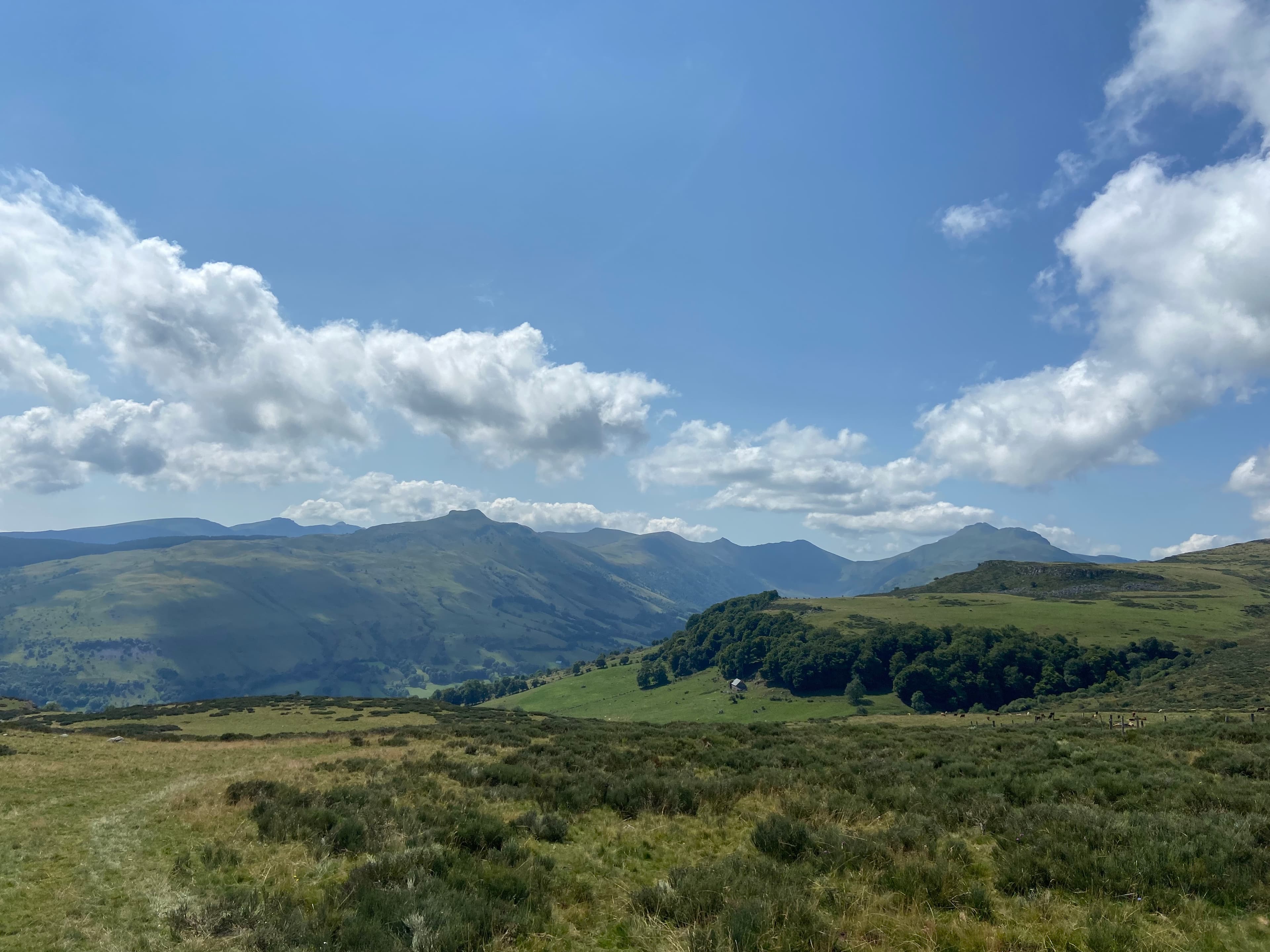
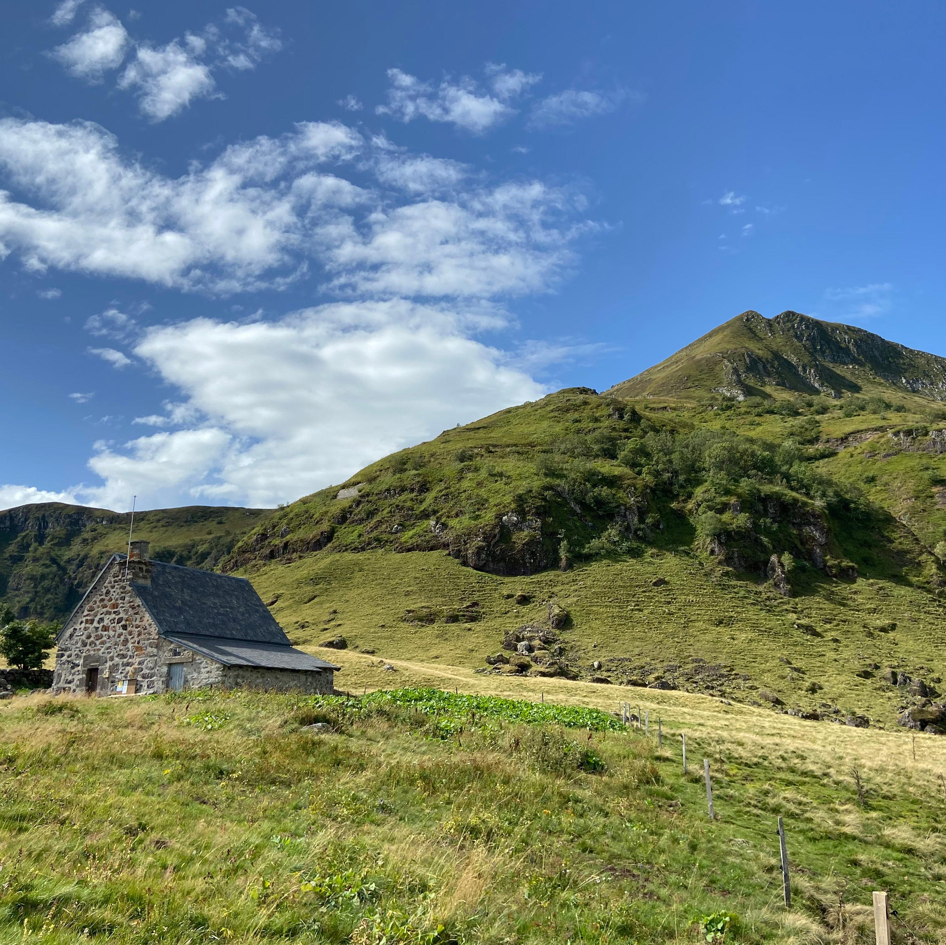
To reach the path, set off from Fraisse-Haut towards the Belles Aigues buron (a stone hut of the summer pastures): it is signposted on the right after 700 m. Laveissière is part of the Volcans d'Auvergne regional nature park.
Why we love it
- The six footbridges that make the path wind through the gorges
- The silence of the dense forest, barely broken by the water
- Spotting an otter between two rocks, if you have the patience
- The contrast between the dark rock and the deep green of the slopes
Top tip
To reach the gorges path, set off from Fraisse-Haut towards the Belles Aigues buron (a stone hut of the summer pastures): it is signposted on the right after 700 m. Avoid going just after a storm.
Before you go
- Wear shoes with lugged soles, riverside paths are often damp
- Take the time to look at the calm areas along the edge: that is where wildlife shows itself
Weather for the next 3 days
Today
10°/1°
11 mm · 47 km/h
Tomorrow
14°/1°
dry · 17 km/h
Tue 27
17°/10°
dry · 18 km/h
Source: Open-Meteo (CC BY 4.0). General lowland forecasts, to be cross-checked with specialist mountain forecasts at altitude.
Practical info
- Address
- Gorges de l'Alagnon, 15300 Laveissière, France
15300 Laveissière
What visitors say
Google rating
Average of 36 reviews on Google Maps.
Community rating
No reader reviews yet: yours gets things started.
Your logbook
Around Gorges de l'Alagnon
4 spots in and around Laveissière, enough to build your day.
A place to see, a night to spend?
Hotels, gîtes and B&Bs within 20 km of Laveissière. Availability and online booking.
Worth seeing nearby
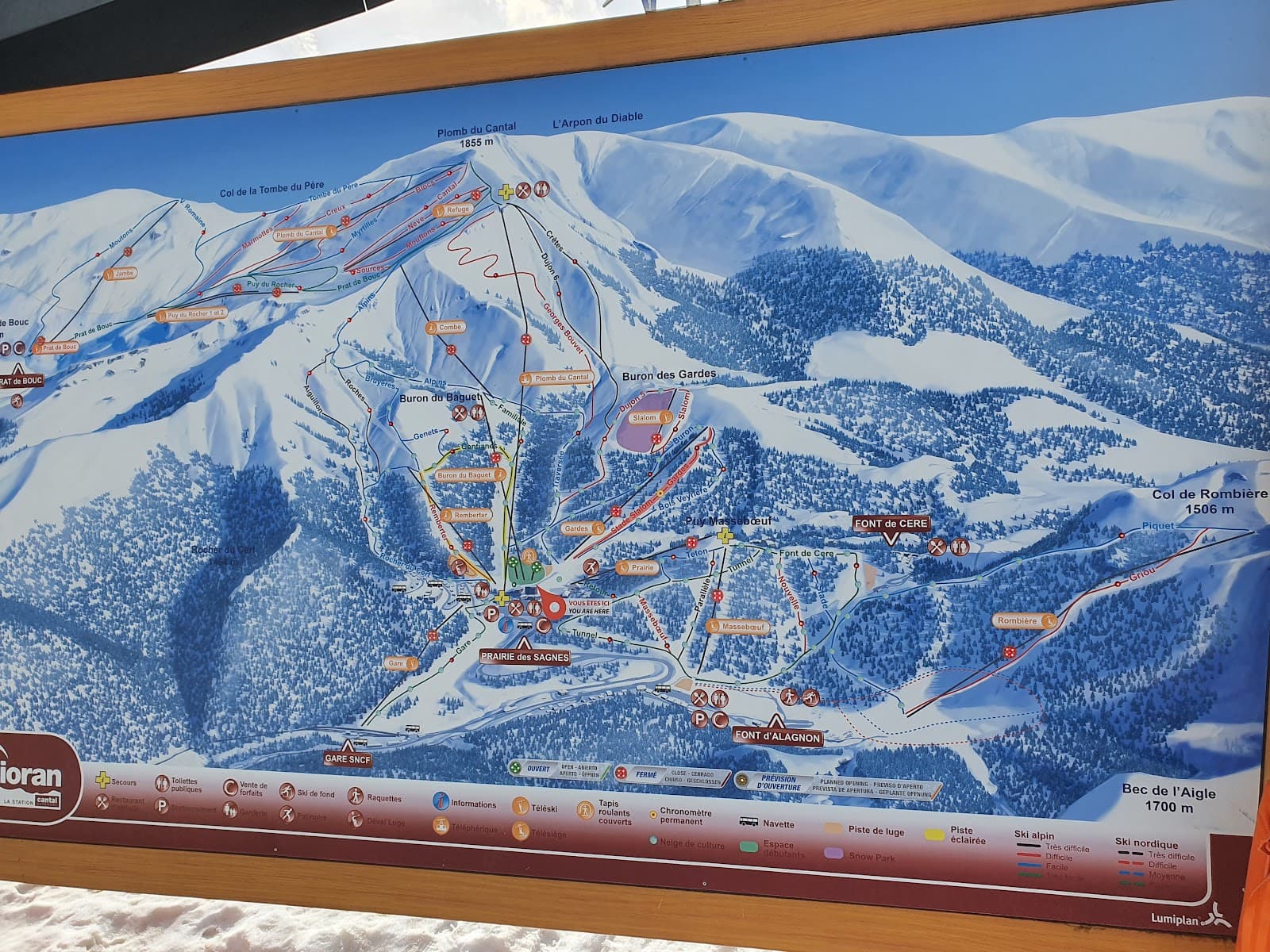
Le Lioran
4.5Laveissière · 1.9 km away
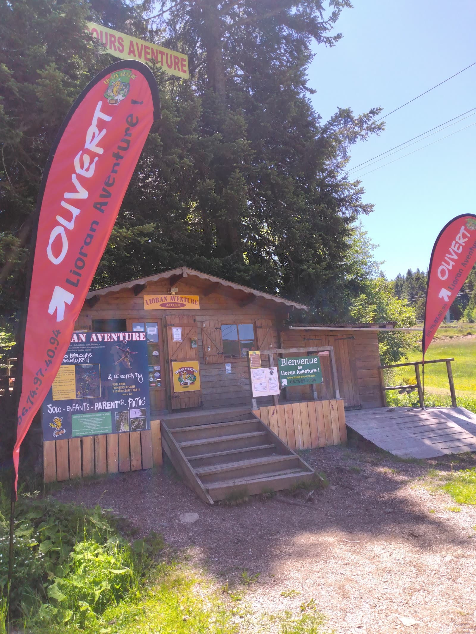
Lioran Aventure
4.6Laveissière · 2.0 km away
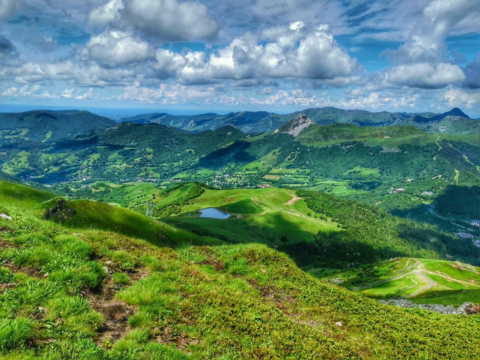
Plomb du Cantal
4.8Saint-Jacques-des-Blats · 4.3 km away
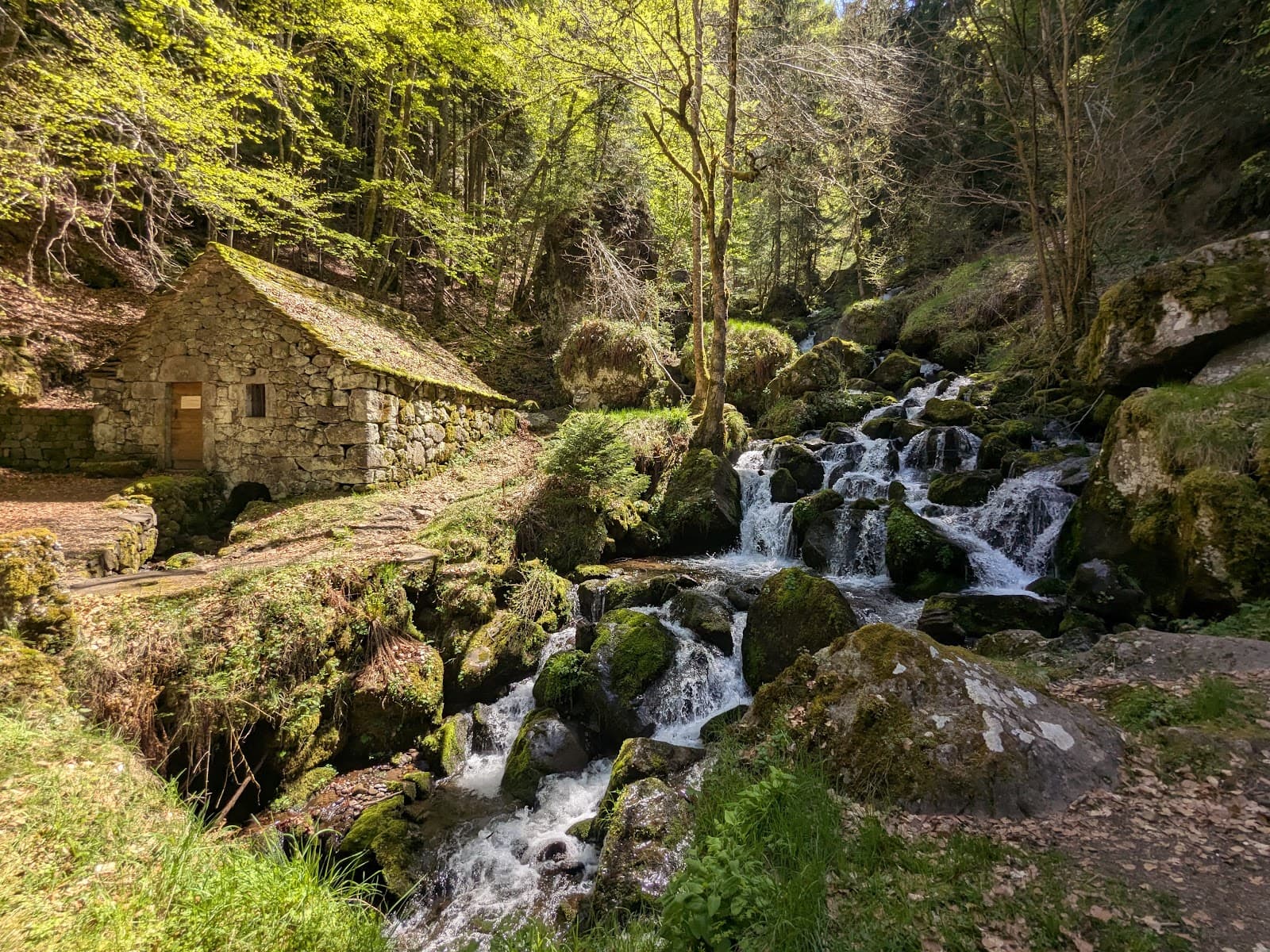
Cascade de Chambeuil
4.7Laveissière · 5.6 km away
Hikes nearby
Waymarked routes within 15 km, GPX track included.
 On foot
 On foot
Hikes around Gorges de l'Alagnon
On footOn foot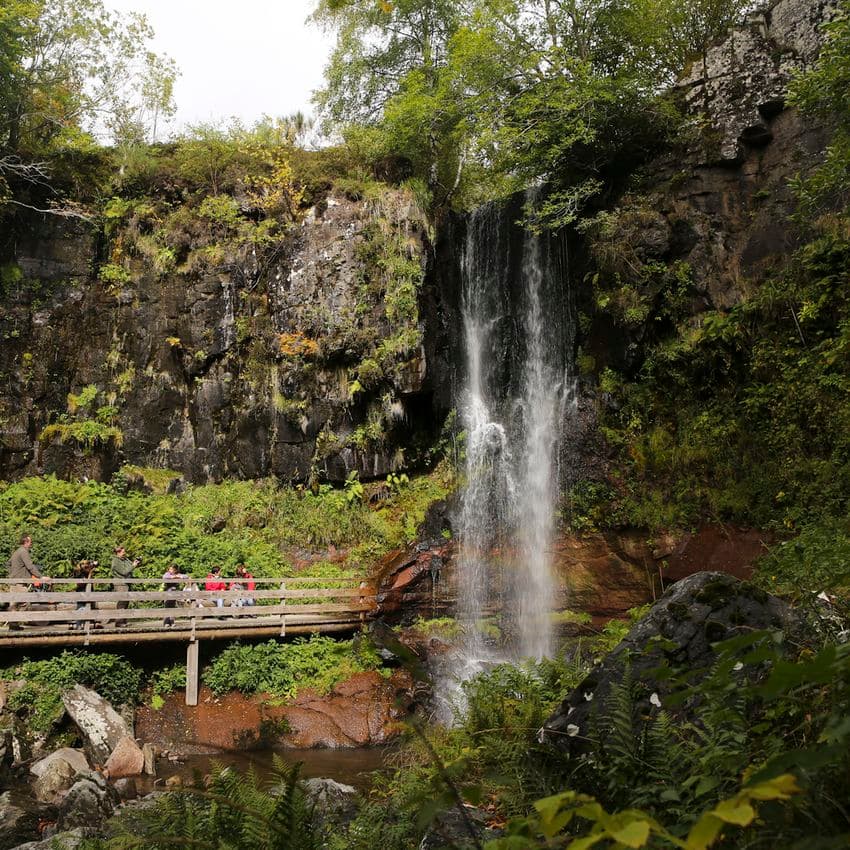 On foot
You might also like
More gorges in Cantal and nearby.
Maison de la Faune
4.6Murat · Cantal
127 reviews
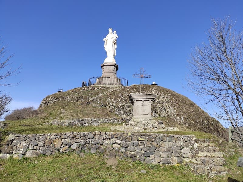
Rocher de Bonnevie
4.5Murat · Cantal
33 reviews
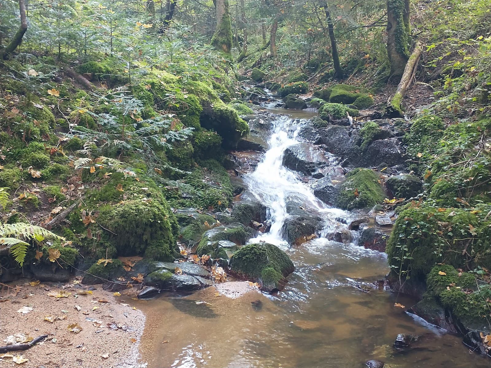
Gorges de Ceyrat
4.5Ceyrat · Puy-de-Dôme
590 reviews
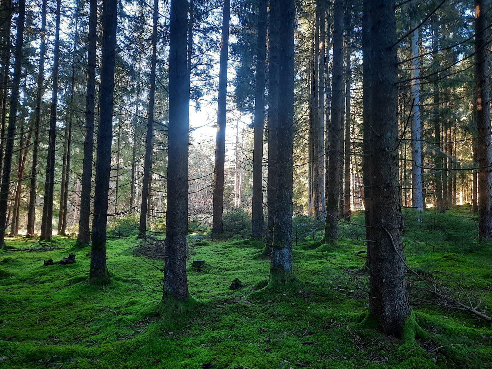
La Senouire
4.5Brioude · Haute-Loire
85 reviews
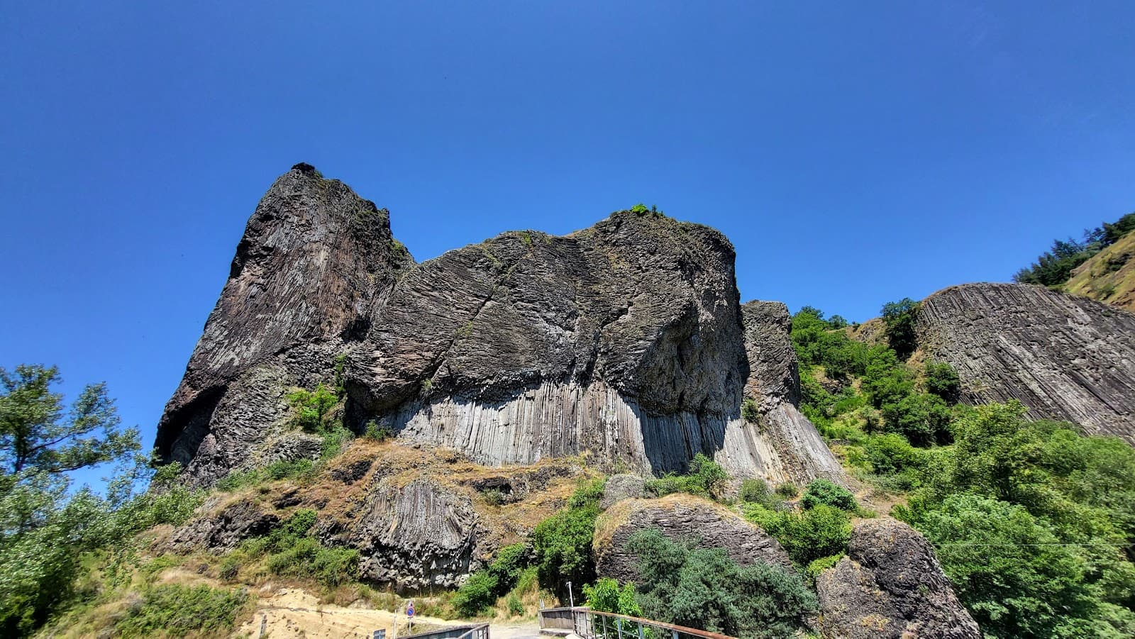
Gorges de l'Allier
4.8Prades · Haute-Loire
131 reviews
Truyère panorama
5.0Anglards-de-Saint-Flour · Cantal
3 reviews