
Our take
The viewpoint that overlooks Murat: 3.8 km there and back from Place du Balat, a Marian statue from 1878 at the top, a sweeping view of the lauze roofs and the valley.
Hiking trail in Murat. Short, waymarked climb, with a view over the lauze (stone slab) roofs and the Alagnon valley.
Volcanic rock made of basalt columns at 1,050 m altitude, overlooking Murat (Cantal). The emblematic site of the commune, crowned by a monumental cast-iron statue of the Virgin (Notre-Dame de la Haute-Auvergne: 8 m tall on a 6 m stone base, since 1878). Access on foot by the Chemin de Bonnevie, waymarked from Place du Balat (statue silhouette on a blue background): 3.8 km there and back, 2 hours, 140 m of elevation gain, through the lanes of the town. Panoramic view over Murat, the Alagnon valley and the Cantal mountains. Open access, free. Combine it with a stroll through Murat, a Petite Cité de Caractère (small town of character).
Why we love it
- Basalt columns
- Cast-iron statue of the Virgin, 1878
- 3.8 km there and back from Place du Balat
Top tip
The start is at Place du Balat, in front of the “espace randonnée” (hiking area) sign, and the path climbs by the steps of the Maison de la Faune, Murat's nature museum. At the foot of the statue, the view stretches 360° over the Cantal mountains.
Before you go
- Closed-toe shoes recommended for the path.
- Murat railway station (SNCF) is less than 10 minutes' walk from the start, Place du Balat.
Weather for the next 3 days
Today
12°/0°
4 mm · 41 km/h
Tomorrow
15°/-1°
dry · 11 km/h
Tue 27
19°/5°
dry · 15 km/h
Source: Open-Meteo (CC BY 4.0). General lowland forecasts, to be cross-checked with specialist mountain forecasts at altitude.
Practical info
- Address
- Rocher de Bonnevie, 15300 Murat, France
15300 Murat
What visitors say
Google rating
Average of 33 reviews on Google Maps.
Community rating
No reader reviews yet: yours gets things started.
It's for you if
- You want the sweeping view over the roofs of Murat
- You're after a short walk: 3.8 km there and back, 140 m of elevation gain
Give it a miss if
- You want a viewpoint you can reach by car: this one is on foot
- You plan to climb in street shoes
Your logbook
Around Rocher de Bonnevie
6 spots in and around Murat, enough to build your day.
Where to eat close by

L'Arôme Antique
4.6Murat · a 5-minute walk away
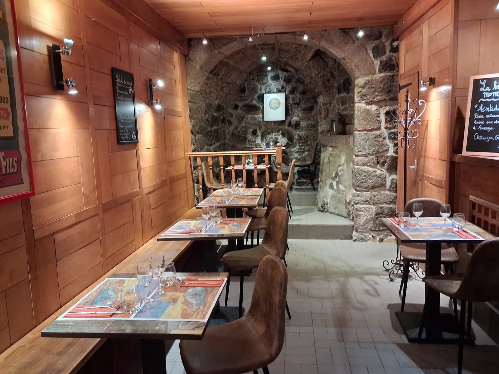 €€
Crêperie Chez Laurette
4.6Murat · a 5-minute walk away
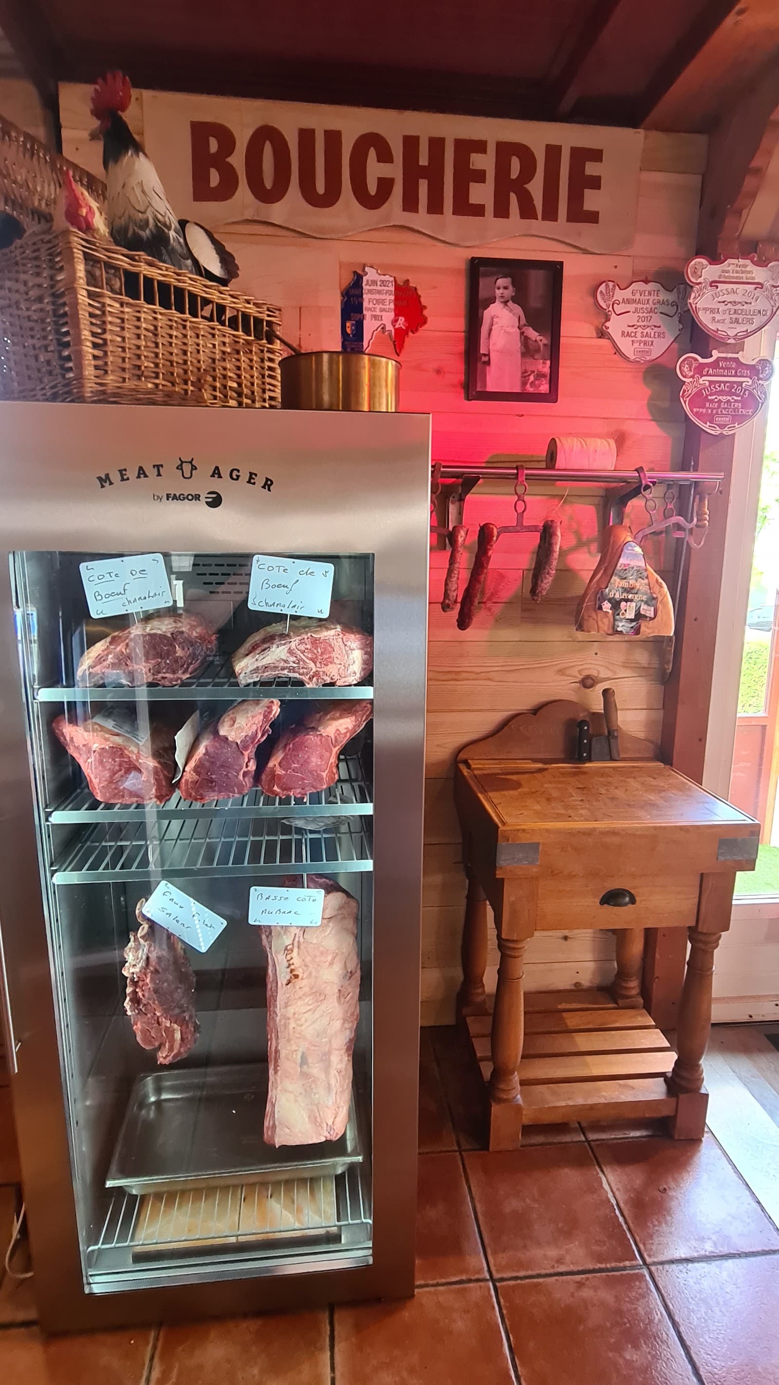
Tendance et Saveurs
4.7Murat · a 5-minute walk away
Hikes nearby
Waymarked routes within 15 km, GPX track included.
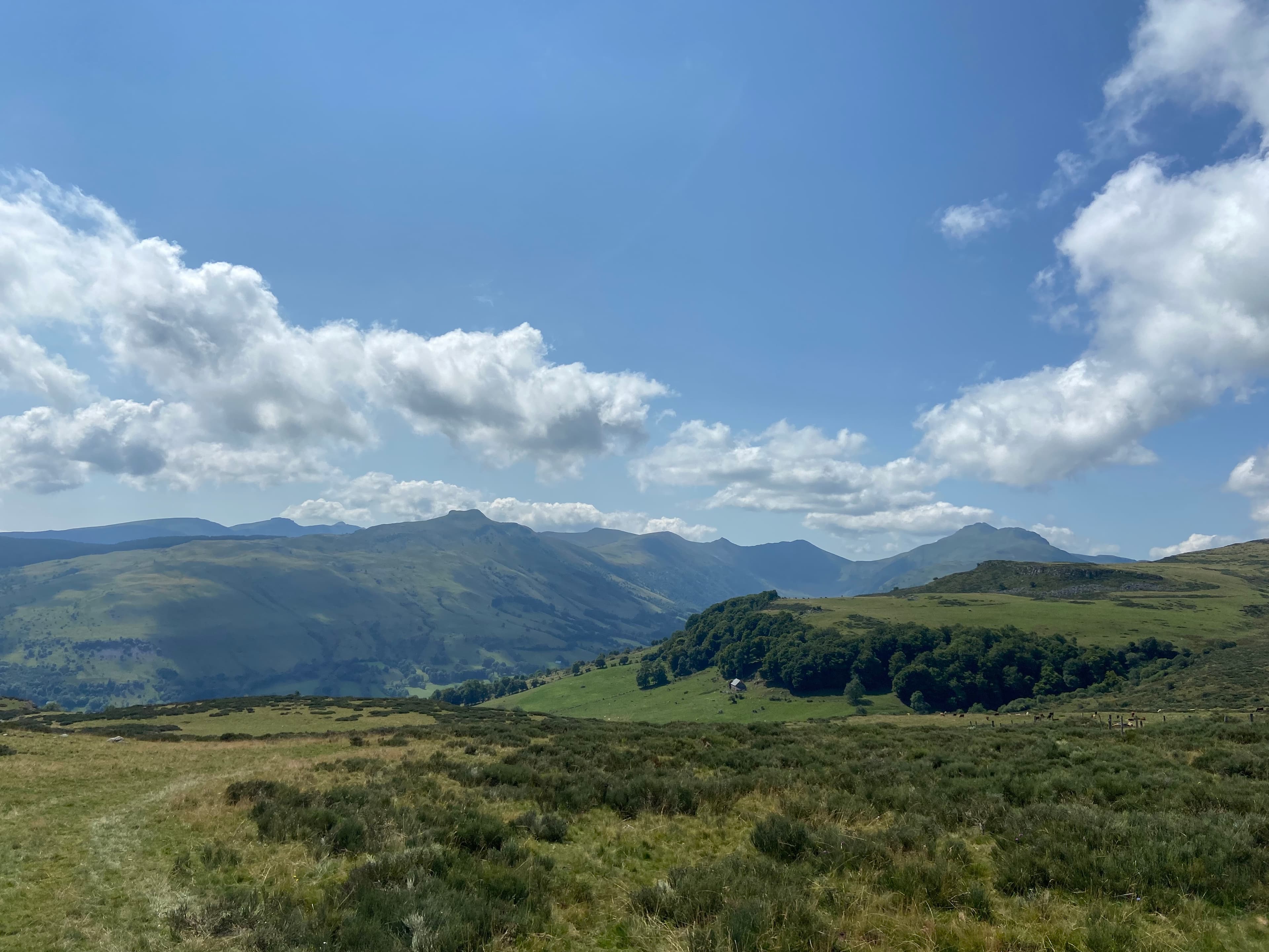 On foot
 On foot
From Allanche to Chalinargues via the Bois de la Pinatelle (stage 1 of the Découverte intime du Cézallier multi-day route)
Start: Place du Cézallier à Allanche
- 15.1 km
- +383 m
- 4 h
Worth a read
Articles and guides that mention this place.

Guide
Le Lioran en hiver : le ski dans le Cantal, et ce qui vous attend hors des pistes
150 hectares entre 1 160 et 1 855 m, 42,90 € la journée, une gare SNCF au pied des pistes et un téléphérique inauguré en présence de Pompidou. Le Lioran en hiver, sans emballage.

Top
Les plus beaux villages du Cantal : 7 arrêts qui valent le détour
Salers, Tournemire, Marcolès, Murat, Laroquebrou, Montsalvy, Chaudes-Aigues : nos 7 villages du Cantal, en deux boucles et un détour, avec les dates d'automne qui comptent (Anjony, foire de la châtaigne de Mourjou, Salers AOP).
Hikes around Rocher de Bonnevie
On footOn footFrom Allanche to Chalinargues via the Bois de la Pinatelle (stage 1 of the Découverte intime du Cézallier multi-day route)
Start: Place du Cézallier à Allanche
- 15.1 km
- +383 m
- 4 h
 On foot
You might also like
More hikes in Cantal and nearby.

Gorges de Ceyrat
4.5Ceyrat · Puy-de-Dôme
590 reviews

Col de la Croix-Morand
4.8Chambon-sur-Lac · Puy-de-Dôme
253 reviews

Gorges de l'Alagnon
4.8Laveissière · Cantal
36 reviews

La Roche Nité
4.8Valbeleix · Puy-de-Dôme
20 reviews

Jolan and La Gazelle peat bogs regional nature reserve
4.8Ségur-les-Villas · Cantal
22 reviews

Dent de la Rancune
4.7Chambon-sur-Lac · Puy-de-Dôme
15 reviews
Continue
Do you run Rocher de Bonnevie?
Claim your page to update the details, add your photos and access our editorial feature offers.
- Free for info & photos
- Editorial feature (quote on request)
- Social media sponsorship (40 000+ Instagram and Facebook followers)