
 On foot
Easy

Saint-Genès-Champanelle, commune du Puy-de-Dôme à 850 m d'altitude (4 100 habitants) sur le plateau des Dômes, en bordure de la Chaîne des Puys (UNESCO). Pays vallonné, accès direct au Puy Pariou et au Puy de Dôme par sentiers. À 15 min de Clermont.
This page isn't translated yet: here's the French version in the meantime.
Gallery
Photos from Google Maps. Credit: Google and contributors.


Places
Filter by section, category, find, or search for a specific name.

Saint-Genès-Champanelle
Two 4-star gîtes in Laschamps, an outdoor jacuzzi and the Puy de Dôme in view, at 1,000 m altitude.
160 reviews

Saint-Genès-Champanelle
A 1,167 m Strombolian volcano whose lava flow created the Lac d'Aydat. Climbing it has been banned since May 2026, during the works.
340 reviews
Location
Hikes
Waymarked routes within 15 km, GPX track included.
On foot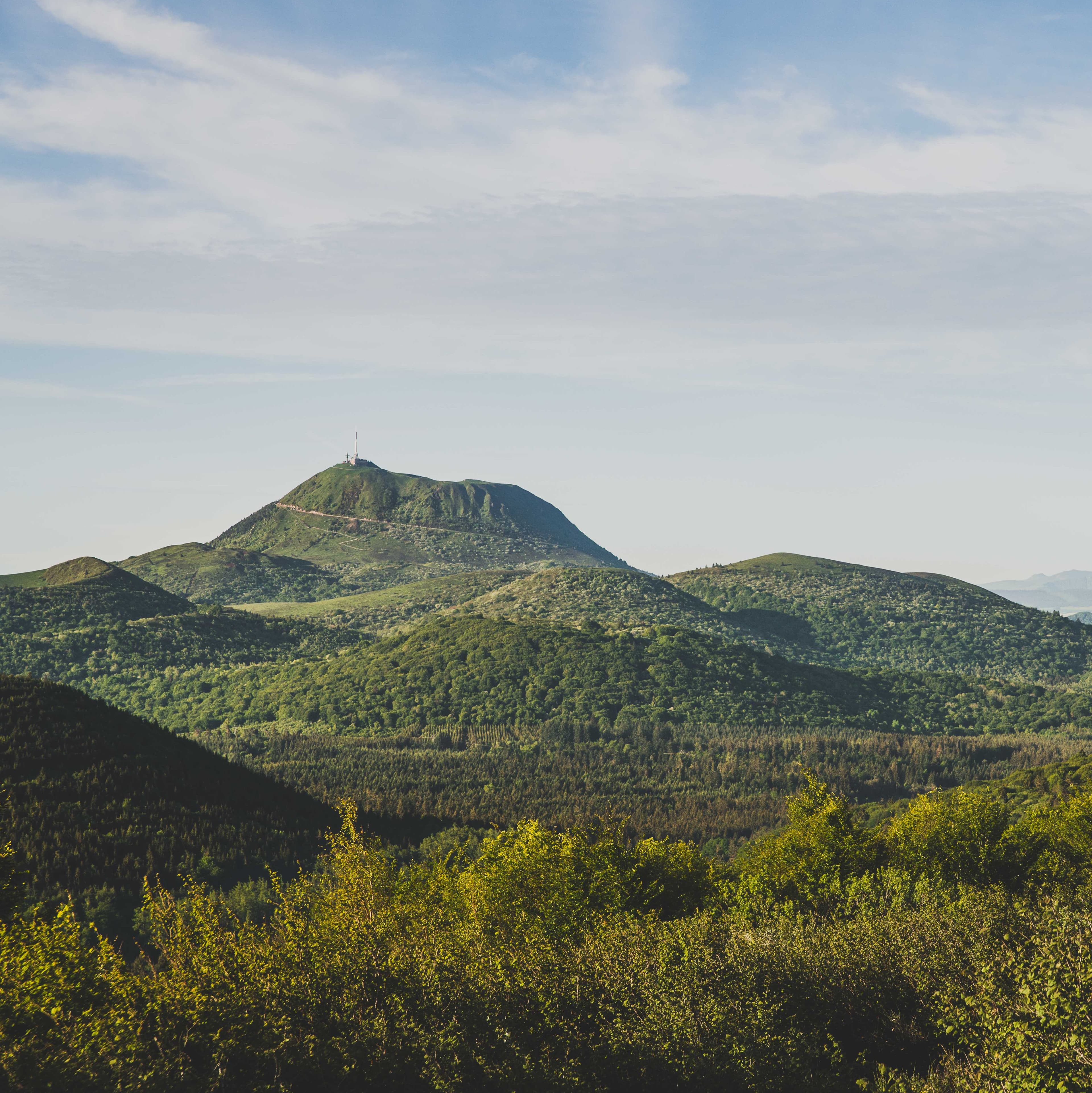 On foot
 On foot
 On foot
Menu
Publish a discovery
Your photos, your impressions, or a spot we haven't listed yet.