

 On foot
Hard

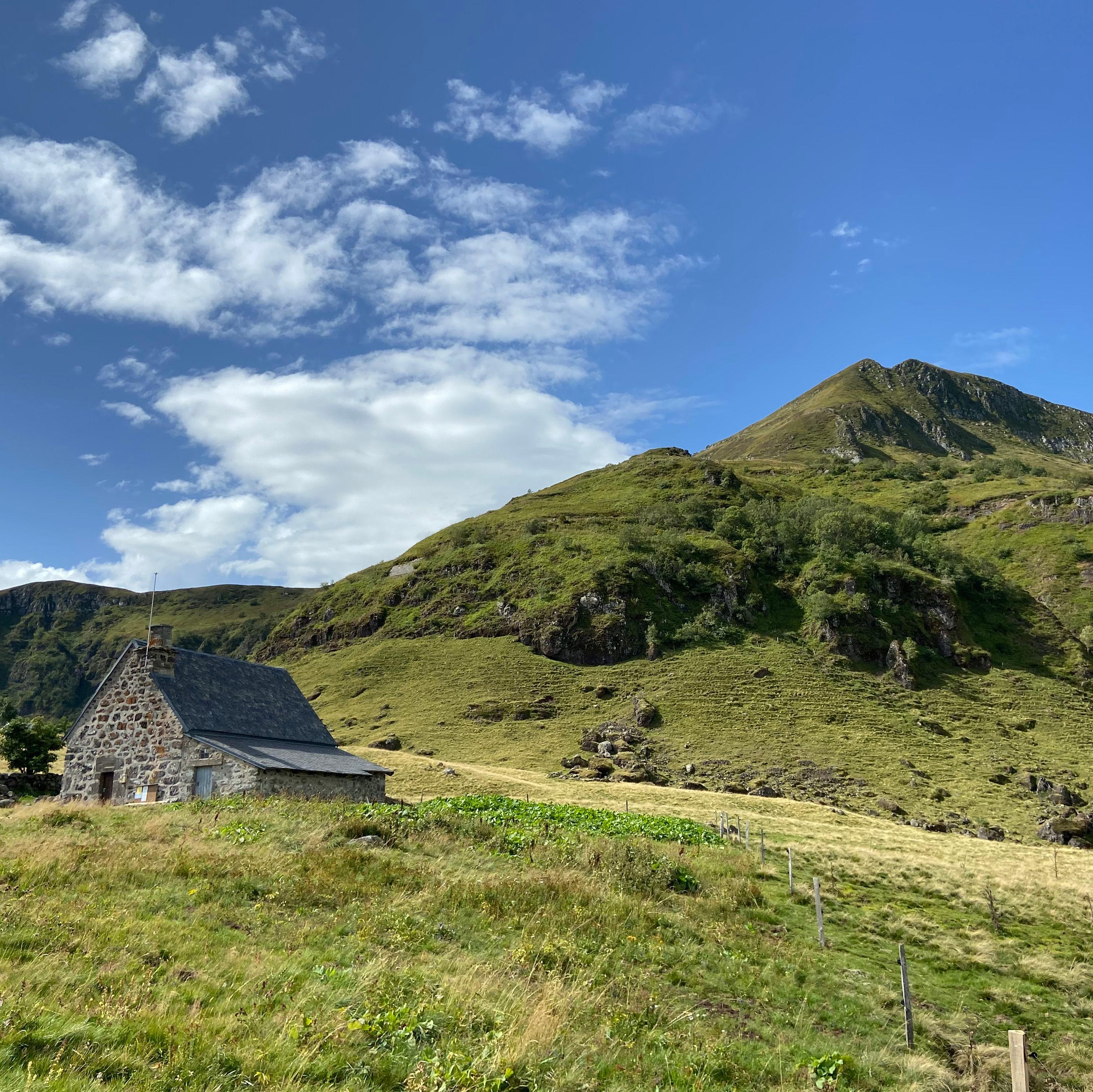
Le Claux, village du Cantal à 1 050 m d'altitude au pied du Puy Mary (1 783 m, Grand Site de France). Commune du Pas de Peyrol (1 589 m, plus haut col routier du Massif central, parking de départ de l'ascension du Puy Mary).
This page isn't translated yet: here's the French version in the meantime.
Gallery
Photos from Google Maps. Credit: Google and contributors.


Places
Filter by section, category, find, or search for a specific name.
Location
Hikes
Waymarked routes within 15 km, GPX track included.
On foot On foot
 On foot
 On foot
Start: Parking aménagé des Cases de Cotteughes, Saint-Vincent-de-Salers, 15380
Menu
Publish a discovery
Your photos, your impressions, or a spot we haven't listed yet.