
 On foot
Moderate
From Allanche to Marcenat (stage 6 of the Tour des Vaches Rouges)
Start: Parking place du Cézallier à Allanche
- 21.7 km
- +553 m
- 6 h 15 min

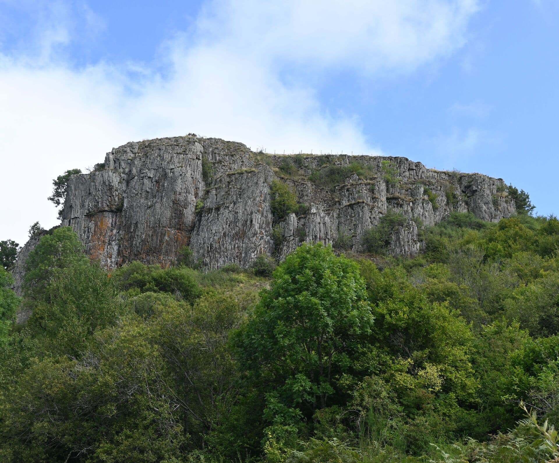
Landeyrat, village du Cantal à 1 050 m d'altitude sur le plateau du Cézallier. Pays d'estive et de burons, ambiance bout-du-monde. Cascade des Veyrines sur le plateau (30 m, peu fréquentée), Vélorail du Cézallier (descente sur ancienne ligne ferroviaire).
This page isn't translated yet: here's the French version in the meantime.
Gallery
Photos from Google Maps. Credit: Google and contributors.


Places
Filter by section, category, find, or search for a specific name.

Landeyrat
A waterfall near Landeyrat, in the middle of the Cézallier summer pastures: you park on the road, go through a gate, cross the pasture, and you are there.
267 reviews

Landeyrat
A pedal-powered rail bike on the old Cézallier line, between summer pastures and forests, starting from Landeyrat station.
430 reviews
Location
Hikes
Waymarked routes within 15 km, GPX track included.
On footStart: Parking place du Cézallier à Allanche
 On foot
 On foot
 On foot
Start: Hôtel de ville de Marcenant
Menu
Publish a discovery
Your photos, your impressions, or a spot we haven't listed yet.