
The Stevenson Trail (Chemin de Stevenson) is the GR70, a grande randonnée long-distance path: a little over 270 km between Le Puy-en-Velay and Alès, following in the footsteps of a Scottish writer who set off in September 1878 with a stubborn she-donkey. The Auvergne section strings together three stages between Le Puy and Langogne: 70 km of high volcanic plateaux, gorges of the young Loire and perched villages. It is the ideal gateway to get a taste of the trail; a long weekend is enough. We detail each stage, the distances, the donkey question and the season we prefer, September-October. The GPX tracks and the full profile are on the GR70 page.
Stevenson, Modestine and the book that started it all
Autumn 1878. Robert Louis Stevenson is not yet thirty, has not yet written his great novels, and is in low spirits: Fanny, the American woman he is in love with, has just gone back to California. He settles in at Le Monastier-sur-Gazeille, a small town in the Velay, with one fixed idea: to cross the Cévennes on foot and make a book out of it.
At Le Monastier, he buys a she-donkey for sixty-five francs and a glass of eau-de-vie. He christens her Modestine. She will carry his kit (including an enormous sleeping bag lined with sheepskin) and give him a hard time from the very first slopes.
On 22 September 1878, he leaves Le Monastier. Twelve days and some 220 km later, he drops his pack at Saint-Jean-du-Gard. He turns it into “Travels with a Donkey in the Cévennes”, published in 1879. The account becomes one of the founding texts of modern hiking: walking for the sake of walking, sleeping outdoors, telling the tale. On arrival, he sells Modestine and admits to having wept on leaving her.
Since the centenary of the journey, in 1978, the route has become a long-distance footpath: the GR70, waymarked white and red. Its official start is now at Le Puy-en-Velay, before the historic starting point. Good news for you: that adds a whole stage in Auvergne.
The route on the Auvergne side: three stages, 70 km
Over its 270-odd kilometres, the GR70 crosses the Velay, the Gévaudan, Mont Lozère and the Cévennes valleys. The Auvergne part plays out in the Haute-Loire, from Le Puy-en-Velay to the Lozère border, just after Pradelles. Langogne, the first town in the Lozère, serves as the final stopping point: station, shops, accommodation.
Allow about 70 km and three days of walking. The profile is that of a high volcanic plateau: sharp climbs out of the valleys, then long open sections, wind, wide horizons. Nothing technical, but days of 20 to 27.5 km: a minimum of training makes the whole thing noticeably more pleasant.
Stage 1: from Le Puy-en-Velay to Le Monastier-sur-Gazeille (20 km)
The starting point is at the church of the Collège (the Église du Collège). We advise you to arrive the day before: Le Puy-en-Velay deserves better than a rushed departure at dawn. Climb up to Notre-Dame cathedral, listed as a World Heritage Site as part of the Routes of Santiago de Compostela in France, then to the statue of Notre-Dame de France, cast in iron from cannons brought back from Sevastopol: the view takes in the whole basin. To plan your evening, we have written why this town is worth the trip.
Le Puy is a crossroads of great trails: walkers heading for Compostela set off from here every morning, and the GR430, the Chemin de Saint-Régis, also starts from here. You follow the white and red of the GR70: the way out of town climbs steeply, then the plateau takes over, with the volcanic sucs (peaks) of the Velay on the horizon.
Arriving at Le Monastier-sur-Gazeille has a special flavour. This is where Stevenson spent several weeks preparing his journey, where he bought Modestine. The village stretches out around the Saint-Chaffre abbey church, a Romanesque façade in volcanic stone with an organ of 1518 inside. For the end of the day, we recommend L'atelier divin, a restaurant that is also a wine cellar, exactly what you need after 20 km and a first day on the plateau.
Stage 2: from Le Monastier-sur-Gazeille to Le Bouchet-Saint-Nicolas (23.2 km)
The most varied day of the three. The path goes up and down like a roller coaster between valleys and plateaux, until a surprising moment: the crossing of the Loire at Goudet. Yes, the Loire. Here, the longest river in France is a pocket-sized river, overlooked by the ruins of the Château de Beaufort.
The Gorges de la Loire at Goudet justify a long break. Stevenson stopped at Goudet on the first day of his walk; do the same, the Hôtel de la Loire sits with its feet in the water, in the centre of the village. And if you have a day in hand, the river can be followed upstream to Arlempdes and its castle planted on a lava peak. At Goudet, the GR70 also crosses the GR40, the Tour des volcans du Velay: enough to give you ideas for next time.
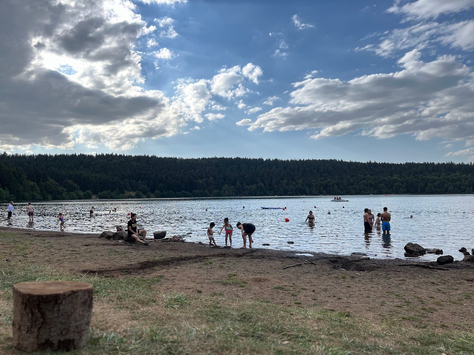
What follows climbs for a long time towards the Devès plateau. Le Bouchet-Saint-Nicolas, a dark-stone village battered by the wind, marks the end of the stage; for the night, it has a municipal campsite. The reward lies off the route: Lac du Bouchet, a former crater turned lake, almost perfectly round, ringed by forest. If your legs are willing, the round trip is worth every step.
Stage 3: from Le Bouchet-Saint-Nicolas to Langogne (27.5 km)
The longest, and the most contemplative. The plateau unrolls pastures, isolated farms and small woods, with that rare impression that the horizon never ends. This is the stage where you understand why Stevenson talked so much about the silence of these heights.
At Pradelles, give yourself a proper break. The village, listed among the Plus Beaux Villages de France (the Most Beautiful Villages of France), lines up old houses and arcades, set like a balcony over the Allier valley and the Lac de Naussac. If 27 km seems long, Pradelles makes a natural break: the stage then becomes two short days.
Shortly afterwards, you leave Auvergne without ceremony: a sign, and there you are in the Lozère. The final descent brings you to Langogne, its station, its shops. End of the Auvergne section; the trail itself carries on towards the Gévaudan, Mont Lozère and the Cévennes.
Summary of the Auvergne stages
| Stage | Distance | Indicative time |
|---|---|---|
| Le Puy-en-Velay > Le Monastier-sur-Gazeille | 20 km | 5 hrs 30 |
| Le Monastier-sur-Gazeille > Le Bouchet-Saint-Nicolas | 23.2 km | a little over 6 hrs |
| Le Bouchet-Saint-Nicolas > Langogne | 27.5 km | 6 hrs 45 |
Indicative walking times.
With a donkey or without?
Walking with a pack donkey is the trail's most living tradition, a direct tribute to Modestine. The animal carries the bags, sets a leisurely walker's pace and turns the hike into an adventure: children, in general, refuse to let go of it.
The principle: you hire the donkey for the length of your route from an operator based along the trail, with an introduction to handling before departure. Many places to stay along the trail are used to it and know how to host the animal for the night. Book early: late summer is popular.
Without a donkey, the trail is still very simple to organise. Luggage transfer services operate from stage to stage, and a light pack over three days is nothing to fear. It's up to you to choose between the freedom of the rucksack and the (stubborn) charm of big ears.
September-October: the real Stevenson Trail season
Stevenson set off on a 22 September, and it is no accident that late summer remains the prime season on the GR70: low light over the plateaux, the heat subsided, herds still outdoors, colours slowly turning to russet. If you can choose, aim for a clear end of September on the Devès.
At the end of September, the trail sees many long-distance walkers pass: book your nights in advance. October, for its part, offers you the trail almost to yourself, with nippy mornings and golden afternoons. Two points to watch: the days shorten quickly (set off early, especially on the 27 km stage) and some accommodation eases off in the low season, so a phone call before you leave avoids surprises.
May and June make a good alternative, greener and more full of flowers. Winter, on the other hand, has to be earned on the Velay plateaux: wind, possible snow, sparse accommodation. We advise against it for a first time.
Getting there and back: stress-free logistics
On the way there, aim for Le Puy-en-Velay station: TER regional trains link it to Saint-Étienne (with connections from Lyon) and to Clermont-Ferrand. Arrive the evening before, sleep in town, set off in the cool: that is the right tempo, and our guide to where to stay in Le Puy-en-Velay is made for that.
On the way back, Langogne has its station on the Cévennes line, which links Clermont-Ferrand to Nîmes. To return to Le Puy-en-Velay, a coach line leaves from Langogne, except at weekends and on public holidays.
And what if you don't feel like going home straight away? Langogne is also a waypoint on the GR470, which follows the sources and gorges of the Allier: enough to extend your trip with another valley, as wild as you could wish.
Gear and advice for making the most of your three days
- Walking boots already broken in, never new.
- Three layers: the plateau wind is unforgiving, even in September.
- Plenty of water: fill up at every village, the plateau sections are long.
- Cash: in the small villages, cards are not accepted everywhere.
- Walking poles, useful on the descents to the Loire.
- GPX tracks downloaded before you leave: network coverage can be unreliable.
- Your nights booked for September, confirmed by phone for October.
One last tip: get yourself in shape a few weeks beforehand. The Via Velay, the greenway that links Le Puy-en-Velay to Landos, makes an excellent training ground: a gentle climb, distance, zero logistics.
Frequently asked questions
The FAQ
How long is the Stevenson Trail?
The GR70 stretches a little over 270 km between Le Puy-en-Velay and Alès, from the Haute-Loire to the Gard via the Lozère. The Auvergne section, from Le Puy-en-Velay to Langogne, is about 70 km, that is three stages of 20 to 27.5 km, doable over a long weekend.
Where does the Stevenson Trail start?
The official start of the GR70 is at Le Puy-en-Velay, easily reached by train. Stevenson's historic start, for its part, was Le Monastier-sur-Gazeille, which you reach at the end of the first stage. Starting from Le Puy adds a good day on the plateau and simplifies the logistics.
How many days for the Auvergne section of the GR70?
Three days' walking is enough to link Le Puy-en-Velay to Langogne, with stages of 20 km, 23.2 km and 27.5 km. By splitting the last stage at Pradelles, you get four shorter days, a comfortable format with the family or with a pack donkey.
Is the Stevenson Trail difficult?
On the Auvergne side, no: no technical sections and no high mountain, but long days and a plateau exposed to the wind. With a minimum of training and good shoes, the route remains accessible and often serves as a first GR. The full trail to Alès takes 12 to 14 days.
Can you walk the Stevenson Trail with a donkey?
Yes, it is even the trail's tradition since Modestine. Operators based along the route offer pack donkeys that carry the luggage. Book several weeks ahead for late summer, which is in high demand.
What is the best time for the Stevenson Trail?
September and October: autumn light, perfect walking temperatures, golden plateaux and a quieter trail in the low season. It was, incidentally, on a 22 September that Stevenson set off in 1878. May and June make a good alternative; winter is not recommended on the high plateaux of the Velay.