
Our take
The largest lowland oak wood in Auvergne, set on volcanoes 25 million years old, half an hour from Clermont. Themed trails to discover it as a family, from the tales trail to the trees trail.
The largest lowland oak wood in Auvergne, near Vic-le-Comte: themed trails over volcanic hills, ponds and salamanders.
A forest set between the Allier valley and the Livradois plateaux, near Vic-le-Comte, across the communes of Pignols, Sallèdes, Vic-le-Comte and Yronde-et-Buron: a massif of 2,000 hectares, 932 of them labelled Espace Naturel Sensible (a protected natural area), and the largest lowland oak wood in Auvergne. The Département owns 615 hectares, bought since 2000, and has entrusted their management to the LPO (the bird protection league) and the ONF (the national forestry office). Oaks, hornbeams, sycamores and wild cherries grow on volcanic hills 25 million years old (the Cheix Blanc peak tops out at 817 m). At the heart, 87 hectares of ravine forest are left to evolve freely, with no intervention. Roe deer, wild boar and foxes in the undergrowth, and elusive species such as the fire salamander or the yellow-bellied toad, a small threatened toad. Free access to the themed trails (trees, flora, volcanism, tales trail) and to the orienteering course. Half an hour from Clermont-Ferrand.
Why we love it
- The 87 hectares of ravine forest left to evolve freely, with no intervention
- The dragonfly ponds and the fire salamander along the paths
- The peaks of Cheix Blanc, Dimond and Fleurides, on a volcanic base 25 million years old
- The tales trail, accessible to all, for a first walk with the children
Top tip
The trees trail (3 km, 1 hour, 140 m of ascent) works well for families: it starts from the picnic area at the entrance to the forest, via the D225 from Vic-le-Comte. The tales trail is accessible to all. Stay on the paths, and avoid the forest in heavy rain or high wind (falling branches). Combine it with the Sainte-Chapelle in Vic-le-Comte, very close by.
Before you go
- Find your entrance on a map before you set off, the car parks are scattered
- At first light, roe deer come out at the forest edge: set off early to cross paths with them
- Waterproof shoes recommended, the undergrowth stays damp long after the rain
Weather for the next 3 days
Today
15°/6°
dry · 31 km/h
Tomorrow
14°/4°
dry · 16 km/h
Tue 27
21°/12°
dry · 18 km/h
Source: Open-Meteo (CC BY 4.0). General lowland forecasts, to be cross-checked with specialist mountain forecasts at altitude.
Practical info
- Address
- Forêt de la Comté, 63270 Pignols, France
63270 Pignols
What visitors say
Google rating
Average of 46 reviews on Google Maps.
Community rating
No reader reviews yet: yours gets things started.
Your logbook
Around Forêt de la Comté
Enough to build your day around this address.
A place to see, a night to spend?
Hotels, gîtes and B&Bs within 20 km of Pignols. Availability and online booking.
Worth seeing nearby

Sources de Sainte-Marguerite
4.3Saint-Maurice · 7.0 km away
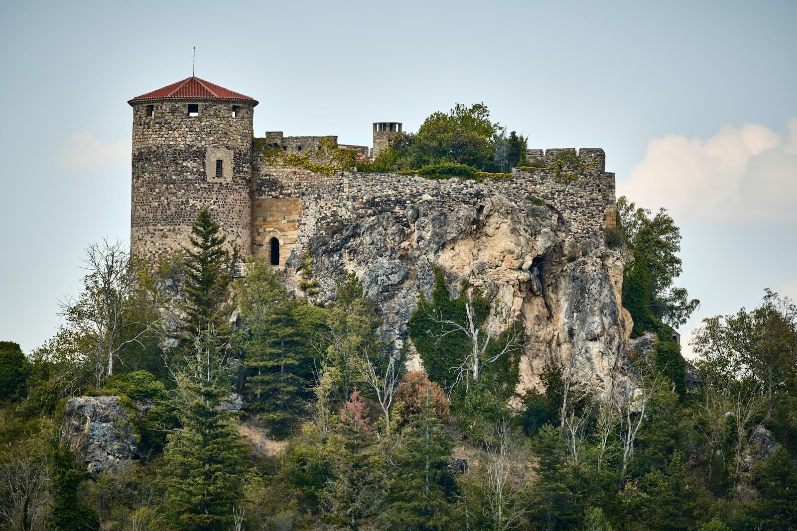 €
Château de Busséol
4.2Busséol · 7.1 km away

Source de Coudes
4.2Coudes · 7.4 km away

Sources salées du Saladis
4.2Les Martres-de-Veyre · 7.5 km away
Hikes nearby
Waymarked routes within 15 km, GPX track included.
 On foot
 Cycling
Hikes around Forêt de la Comté
On footCycling On foot
You might also like
More nature reserves in Puy-de-Dôme and nearby.

Cézallier
4.9Anzat-le-Luguet · Puy-de-Dôme
43 reviews

Lac de Malaguet
4.1Monlet · Haute-Loire
11 reviews

Gayme peat bog
4.6Picherande · Puy-de-Dôme
18 reviews

Forêt de Tronçais
4.6Meaulne-Vitray · Allier
251 reviews

Le Devès
5.0Saint-Jean-Lachalm · Haute-Loire
3 reviews

Parc naturel régional Livradois-Forez
4.5Saint-Gervais-sous-Meymont · Puy-de-Dôme
7041 reviews