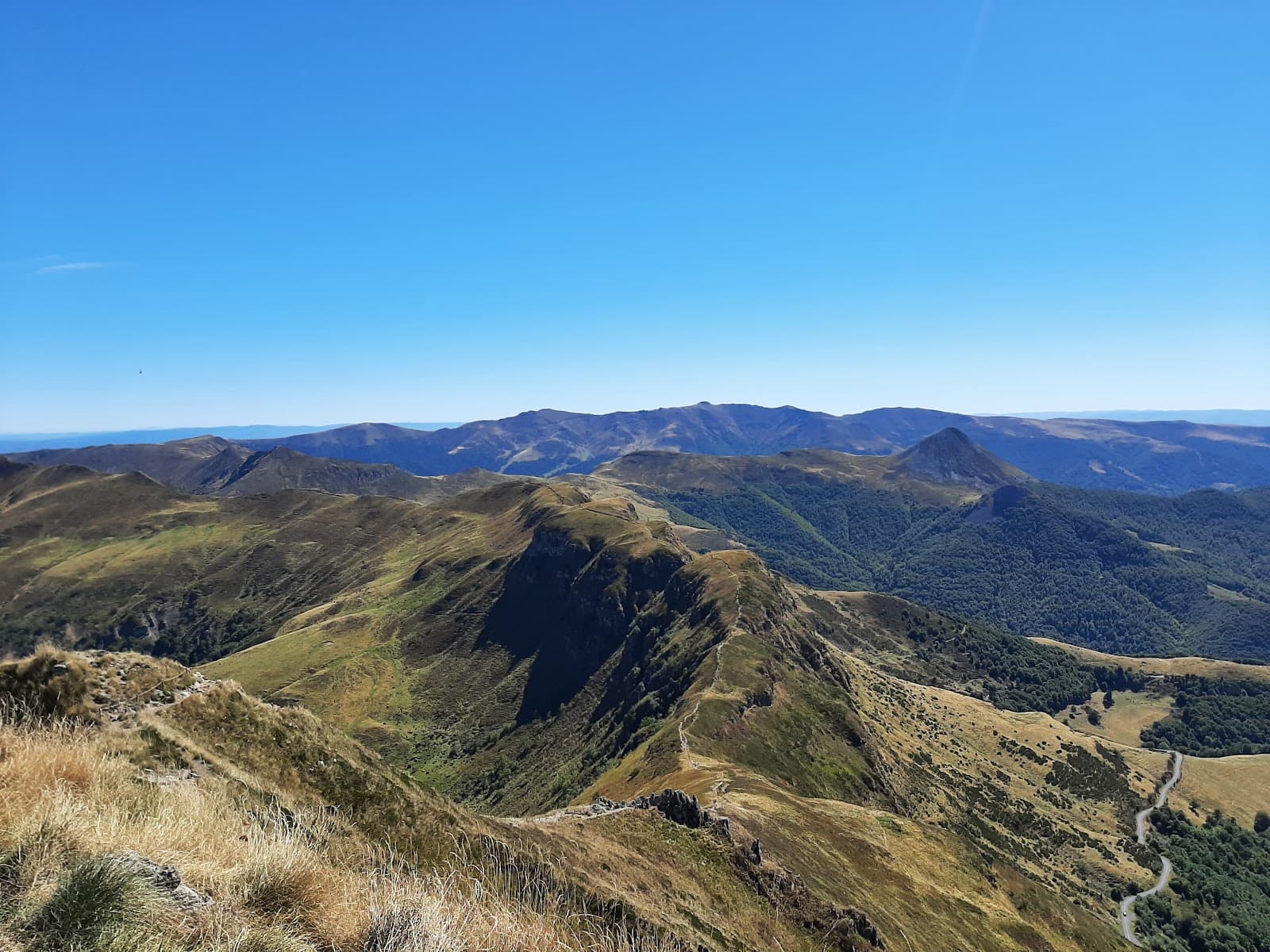
Puy Mary (1,783 m) is the lookout peak of the Cantal: seven glacial valleys fan out around it like a star, remnants of the largest stratovolcano in Europe, of which it is the iconic tip. A Grand Site de France since 2012, it gets more than 500,000 visitors from May to October. Which is why we're also giving you the tricks to have it (almost) to yourself.
The classic climb: from the Pas de Peyrol
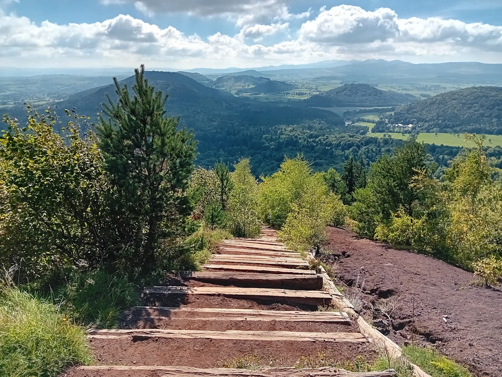
The Pas de Peyrol (1,589 m) is the highest road pass in the Massif Central, and the starting point for the climb: a path laid out as steps heads straight up to the summit. Allow about 30 minutes to climb 150 to 200 m. The first part goes easily, the second gets properly steep, and the view opens up at every landing.
It's short, spectacular, and therefore very busy: in high summer, aim for early morning or the end of the day, when the light skims the ridges and the car park can breathe.
Parking or shuttles?
In 2026, parking at the Pas de Peyrol is paid all summer (€5 for the day; motorhomes are not allowed from 9:00 to 18:00 in July and August, and caravanning is banned on this protected site).
The smart alternative: the “Lignes du volcan” shuttles, 8 summer lines from 11 July to 23 August 2026, at €1.80 per trip (€3.60 return, ticket on board or Oùra card). Four of them go straight up to the Pas de Peyrol: from Mandailles-Saint-Julien (up to 18 departures a day), Le Claux (9), Le Falgoux (7) and Riom-ès-Montagnes via Cheylade (5). From Salers, plan on a change at Le Falgoux; from Dienne or Le Lioran, at the Col de Serre; from Vic-sur-Cère, at Mandailles-Saint-Julien. You go up light, and you come down through another valley if you feel like it.
The roads to the pass (and when they open)
From Salers, the D680 over the Col de Néronne unrolls one of the finest ridge roads in Auvergne; from Mandailles, the D17 climbs the Jordanne valley; from Le Claux, take the D62 to the Col de Serre, then the D680. The Tour de France has come over Puy Mary several times, including on Tuesday 14 July 2026, on the Aurillac to Le Lioran stage, with the Pas de Peyrol climb rated first category.
Important: the access roads to the Pas de Peyrol are closed every winter, from the first snowfall until the snow melts in spring. In 2026, the RD 680 between Salers and Murat became passable again on Wednesday 29 April.
Avoiding the crowds: the ridges
Two options that change everything:
- Puy de la Tourte (1,704 m): from the Pas de Peyrol car park, take the GR 400 in the opposite direction from the steps. A short walk along the north ridge, facing Puy Mary, with a fraction of its crowds.
- The loop via the burons d'Eylac (herders' huts) and the Col de Serre: starting from the Col de Serre, on the D680, on the way up to the Pas de Peyrol, through the summer pastures and along the ridge. The long way up, with herds of Salers cattle thrown in.
On the ridge, heading towards the Puy Griou, the GR 400 crosses the Brèche de Rolland, and a variant of the GR 400 runs below the gap: in strong wind or on wet ground, that's the one you want.
At the summit and at the pass
At the summit, an orientation table and a 360° view over the glacial valleys fanning out like a star, including the Jordanne on the Mandailles side, the Mars on the Falgoux side and the Petite Rhue on the Cheylade side. At the pass, the Maison de site (the visitor centre) houses a museum space, a shop and toilets (open every day from May, depending on the weather and on the access roads to the pass being open), with a bar-restaurant next door.
To make more of it: our Puy Mary page, the village of Salers, one ridge road away, and the weekend in the Cantal guide.
What you need to know
- Stay on the paths: on such a busy site, erosion is the Grand Site's constant battle.
- Dogs: herds and livestock guardian dogs are on the summer pastures all summer long; keep yours on a lead near the animals, and be aware that it isn't allowed on the Grand Site's guided outings.
- Weather: the wind is the boss up there. Bring a windproof jacket even in mid-August, and good shoes: wet steps are slippery.
- Altitude: 1,783 m on the French IGN maps (you'll also see 1,787 m; the mountain doesn't mind).
Good to know before you go
Can you avoid paying for parking? Yes, with the Lignes du volcan shuttles (€1.80 per trip) from Mandailles-Saint-Julien, Le Claux, Le Falgoux and Riom-ès-Montagnes, from 11 July to 23 August 2026.
Is it doable with children? Yes: it's short, about thirty minutes of climbing on a path laid out as steps. Just bring the windproof jacket and good shoes, and hold little ones by the hand near the drops.